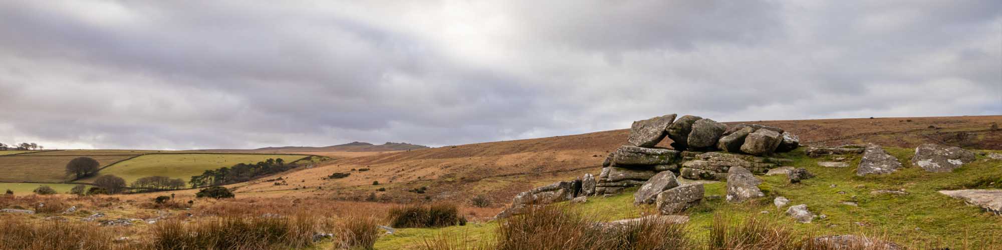
Dartmoor 365 List
Reference List of Square Items
This is just a Dartmoor 365 list, mainly for my own reference when out and about.
Reference locations; OS Grid References, D365 Square Numbers or ///what.three.words
Squares List
Tag Cloud
Tap to Hide Tags
Row A
Squares A7 - A12
A7 Okehampton Castle 583 942 
A8 Dartmoor Life Museum 587 952 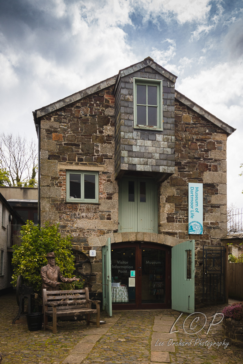
A9 Crossing the East Okement 603 947 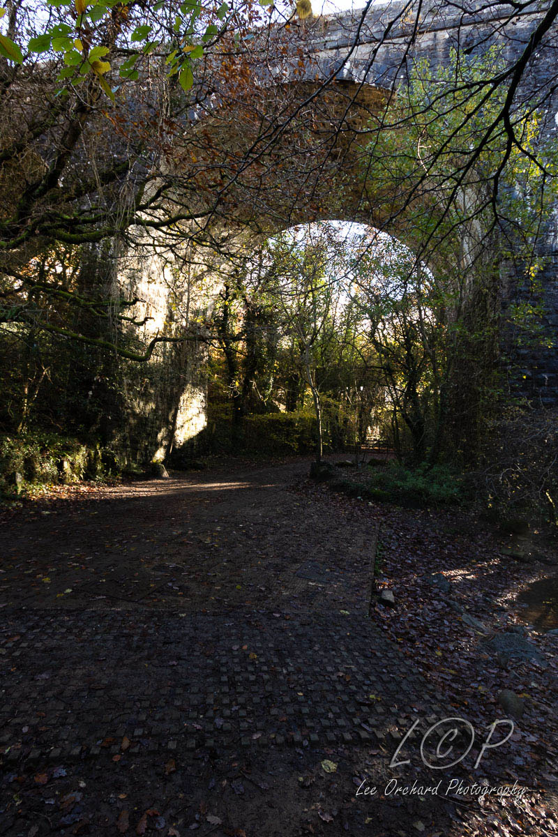
A10 Belstone Cleave 629 938 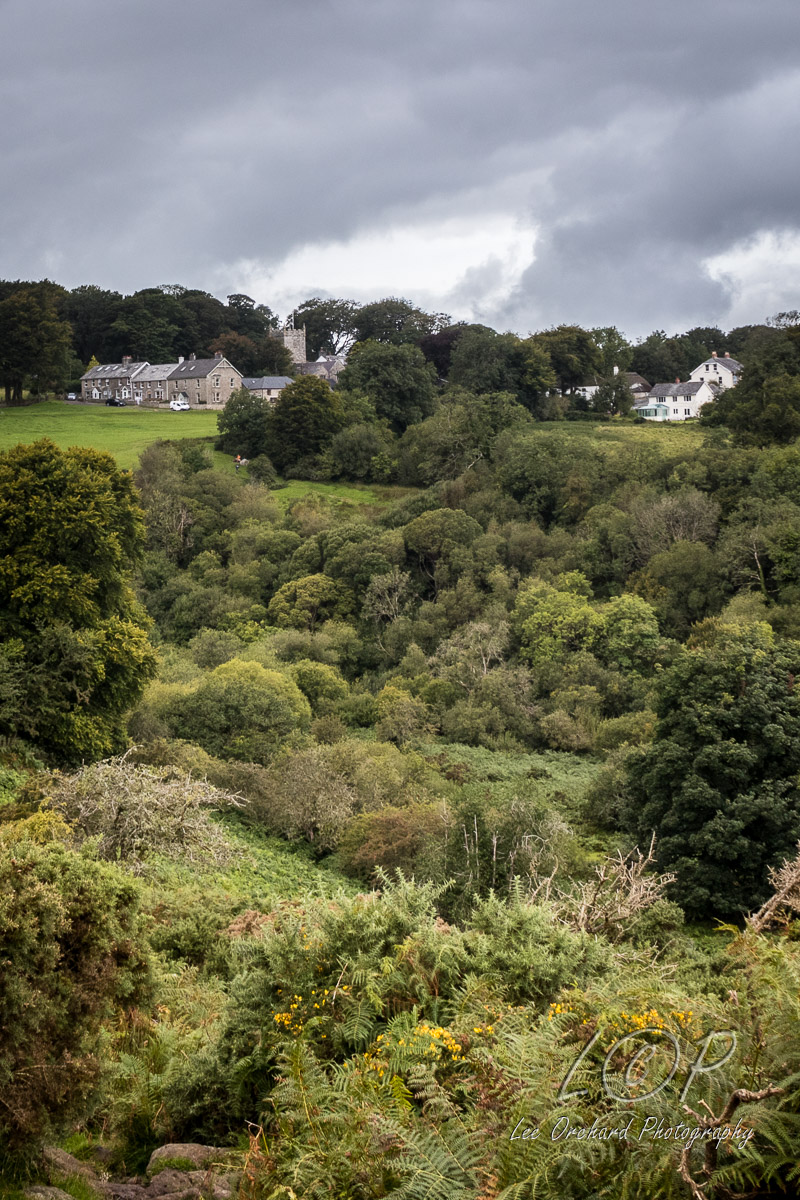
A11 Finch Foundary 642 941 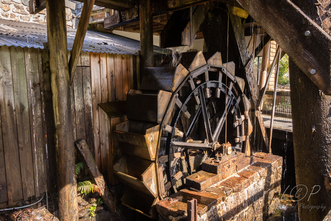
A12 South Tawton 653 944 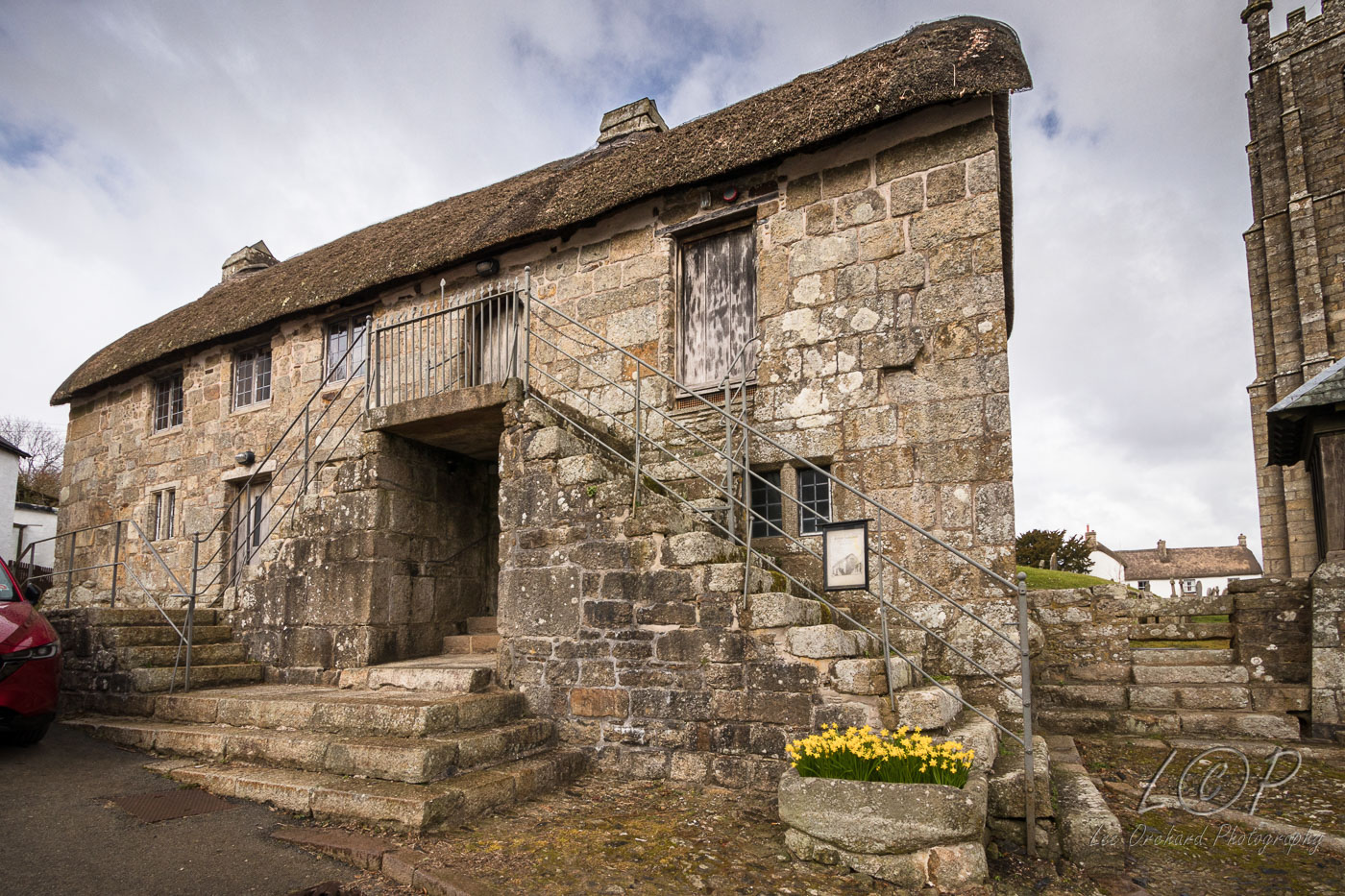
Tap to Hide
Row B
Squares B6 - B13
B6 Meldon Viaduct 565 923 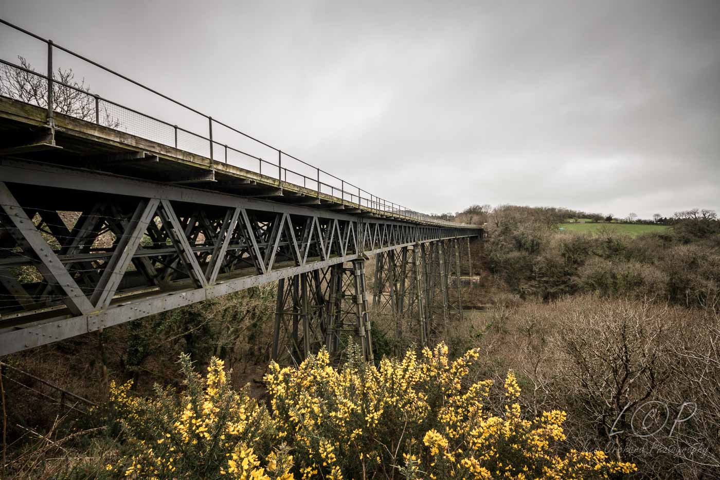
B7 Meldon Quarry 568 925 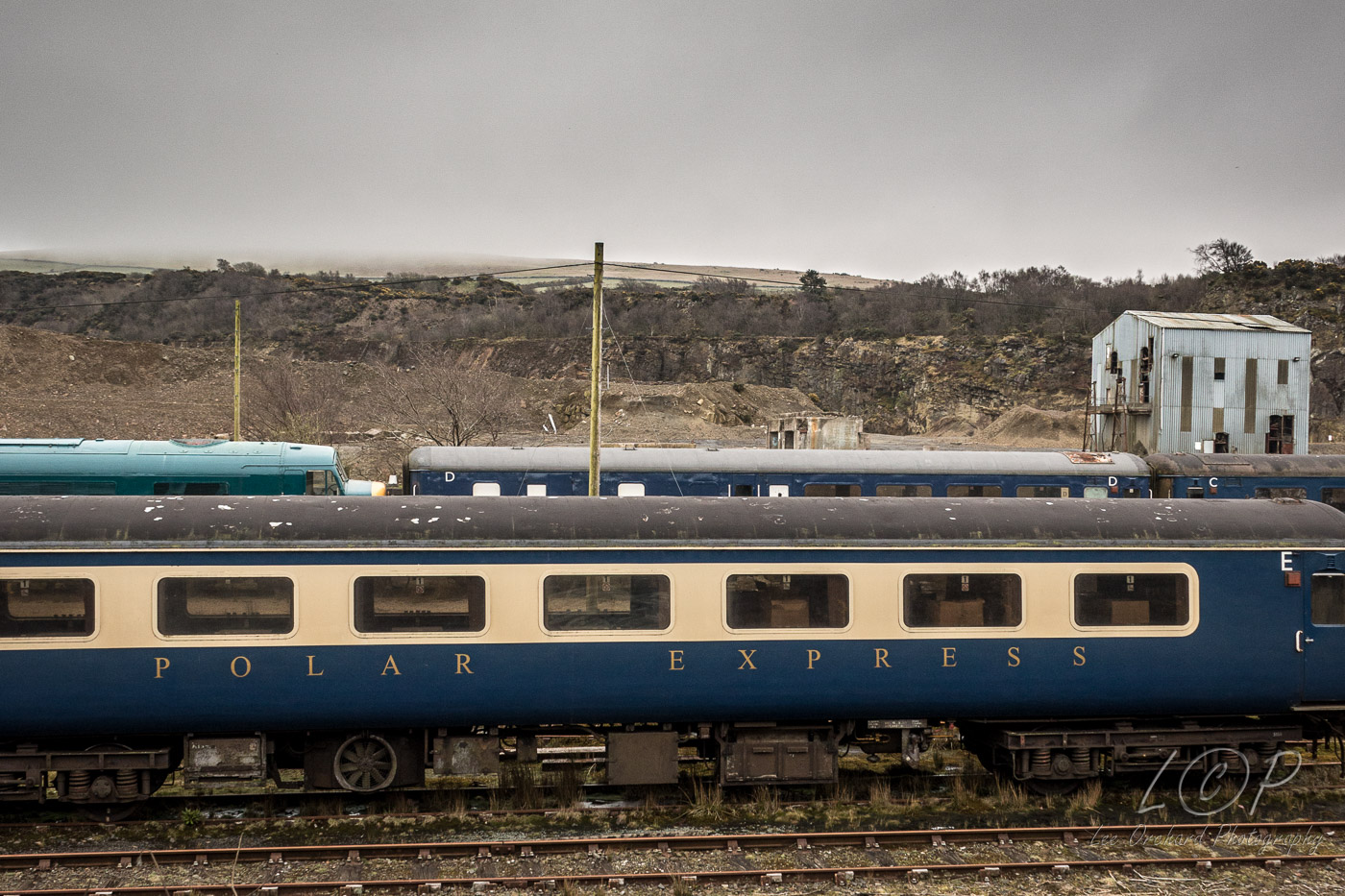
B8 Fitz’s Well and Cross 592 938 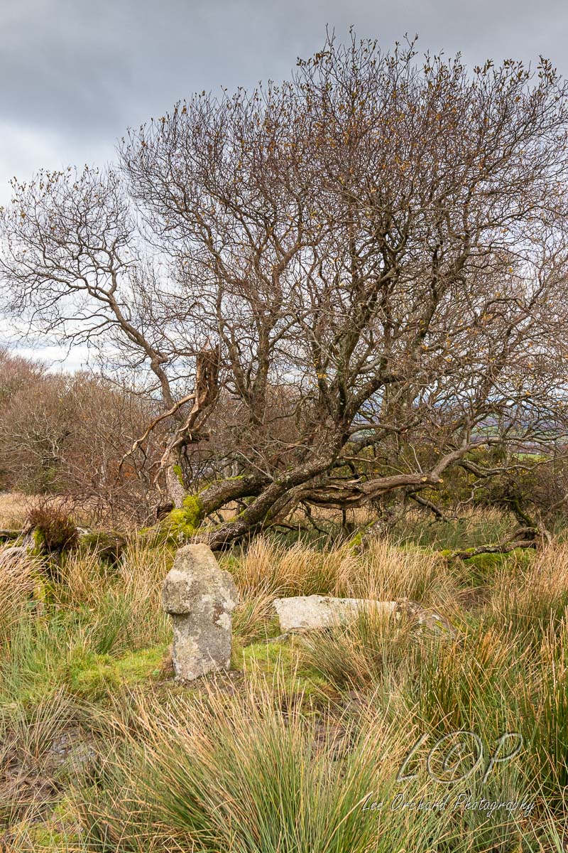
B9 Nine Maidens 612 928 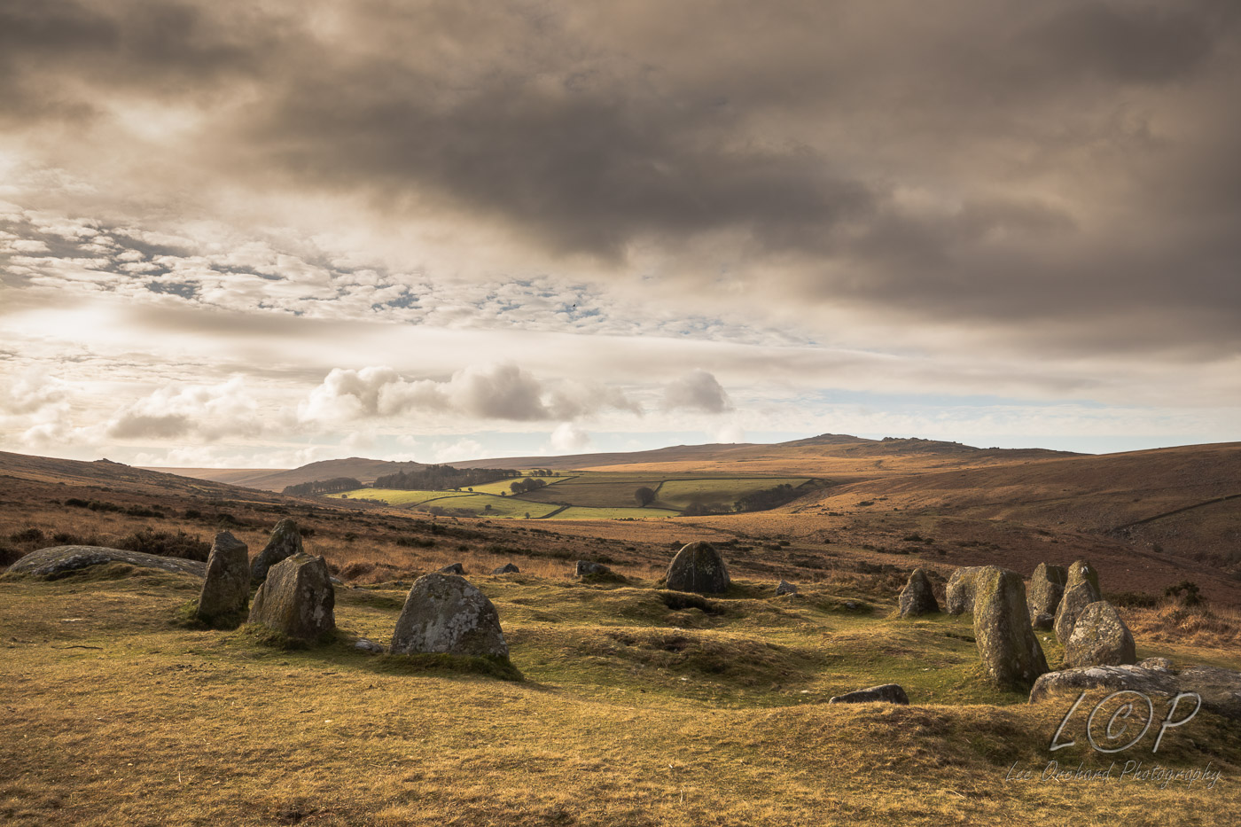
B10 Belstone Village 619 935 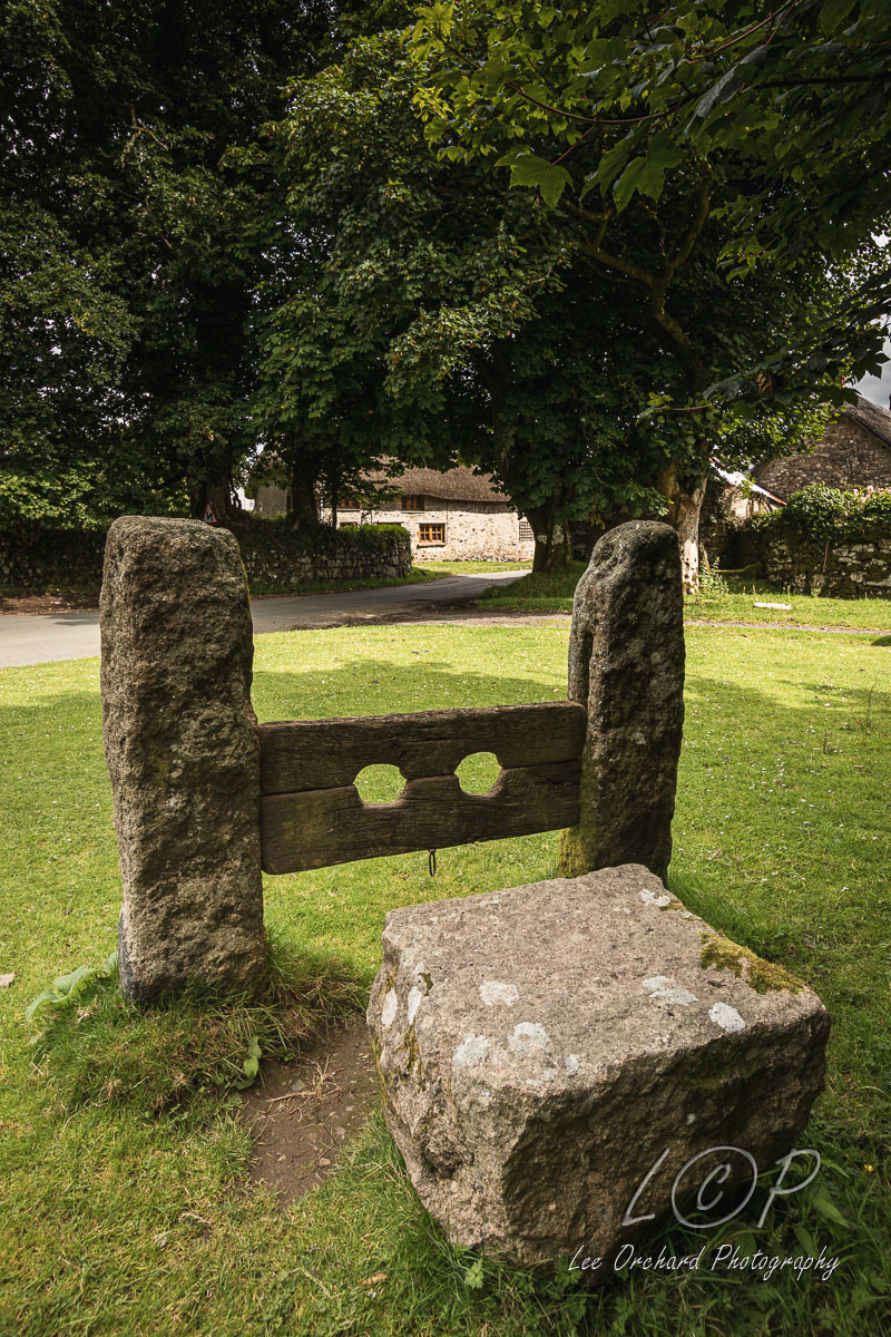
B11 Foxes Holt 640 924 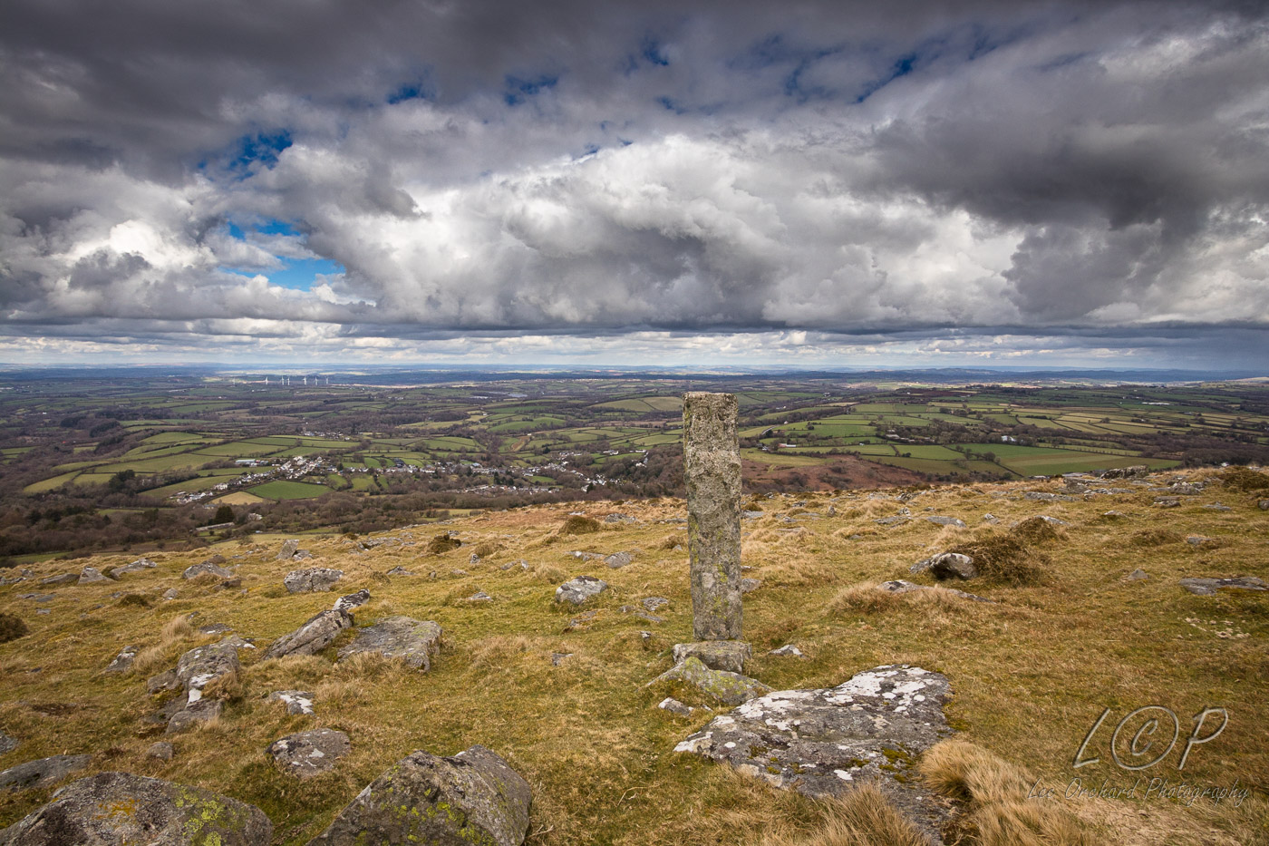
B12 South Zeal and Ramsley 625 935 652 931 
B13 Addiscott Cross 667 933 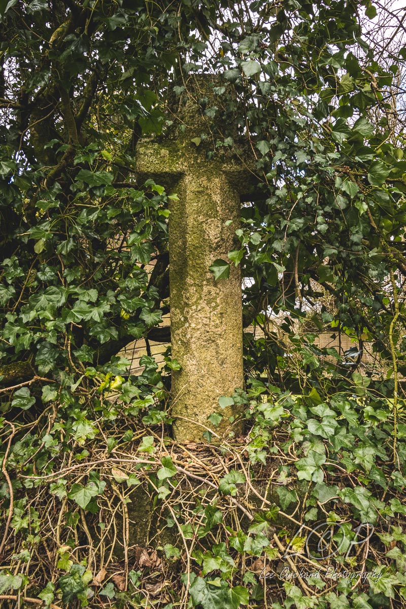
Tap to Hide
C
Squares C5 - C19
C5 Sourton Cross 547 917 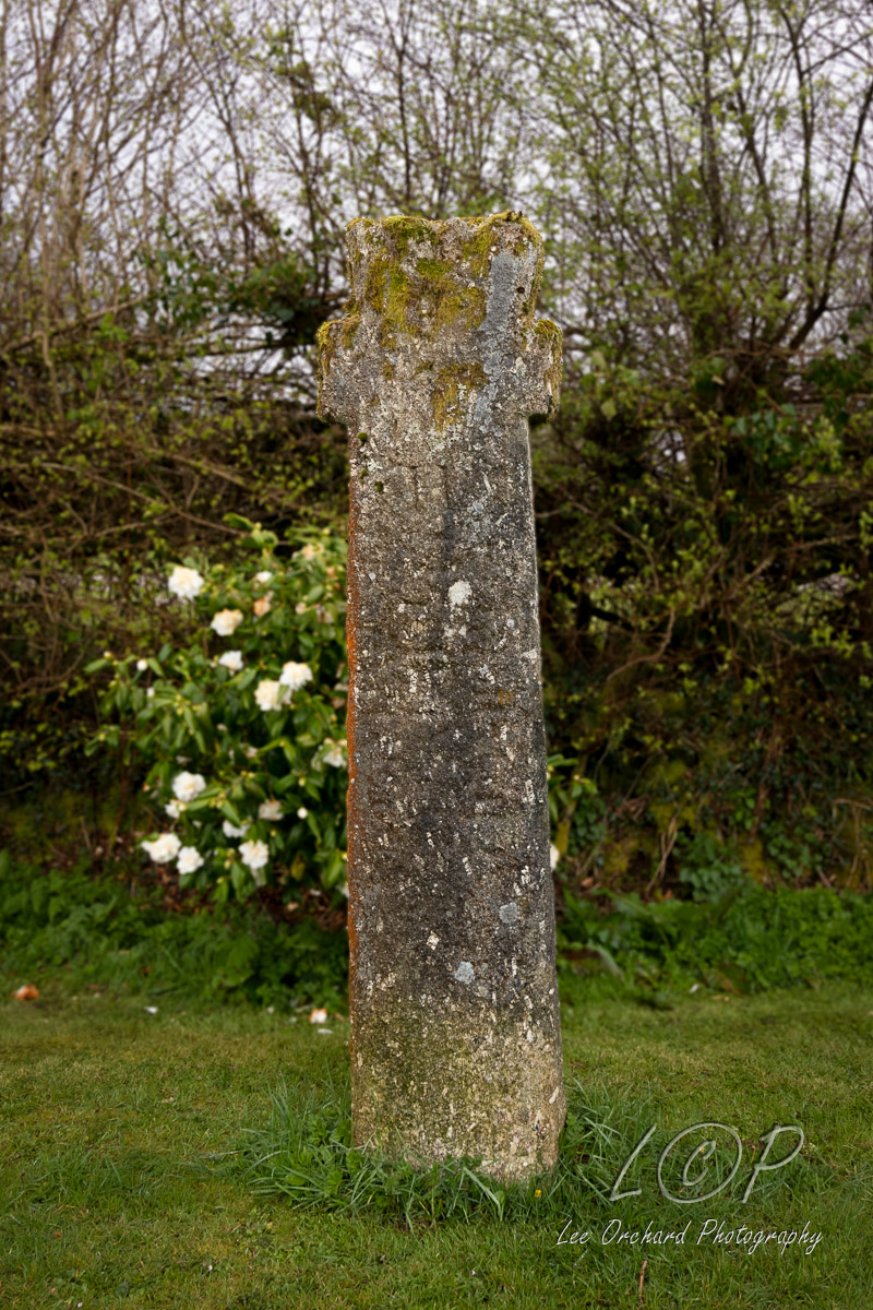
C6 Meldon Reservoir 563 916 
C7 Red-a-Ven Dip 581 912 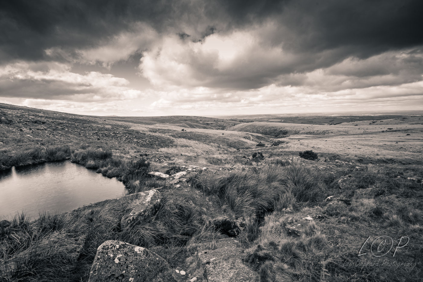
C8 Target Railway 593 911 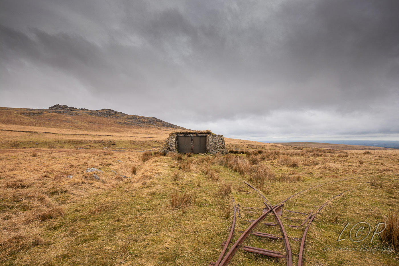
C9 Cullever Steps 606 921 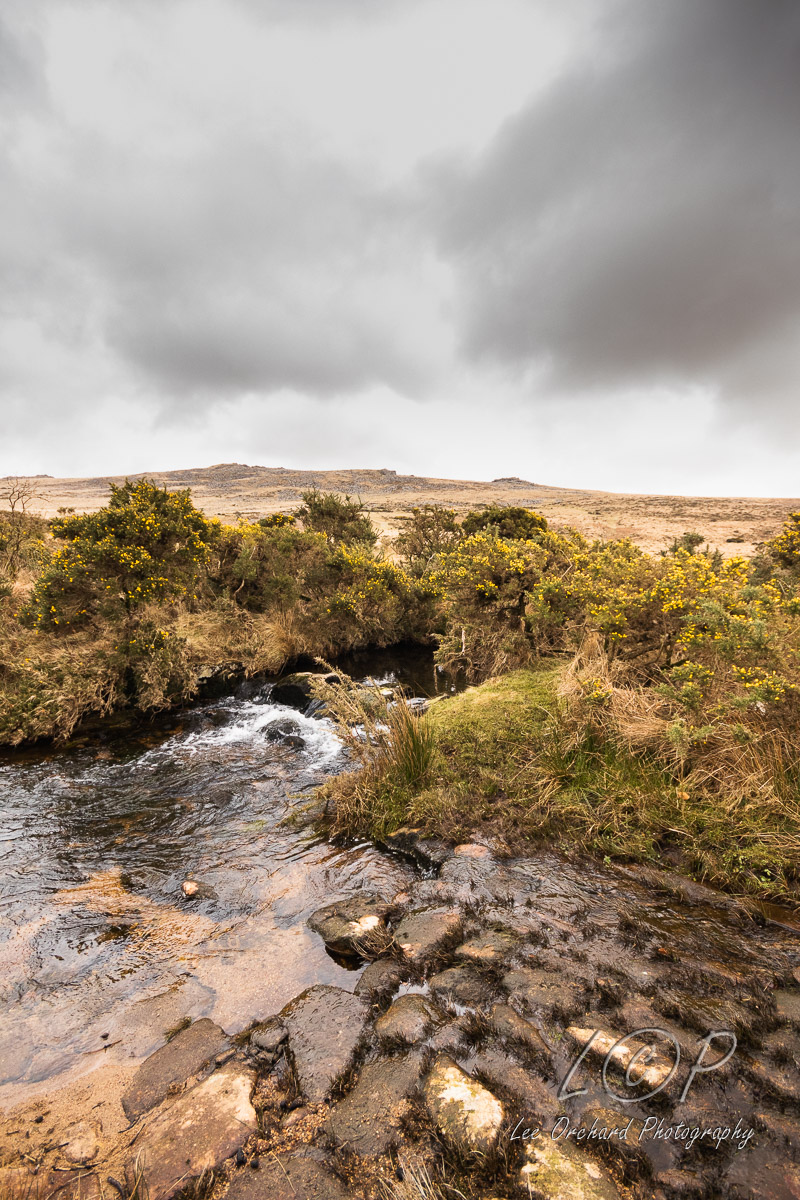
C10 Irishman's Wall 616 918 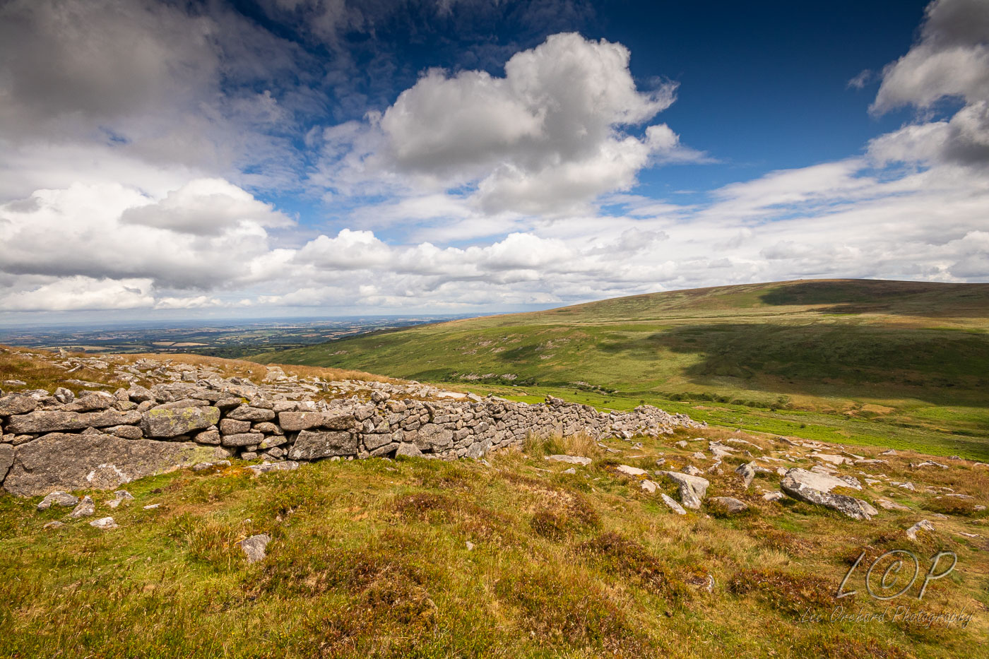
C11 Cosdon Row 644 916 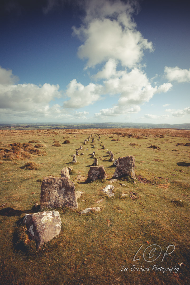
C12 Shilley Pool 653 912 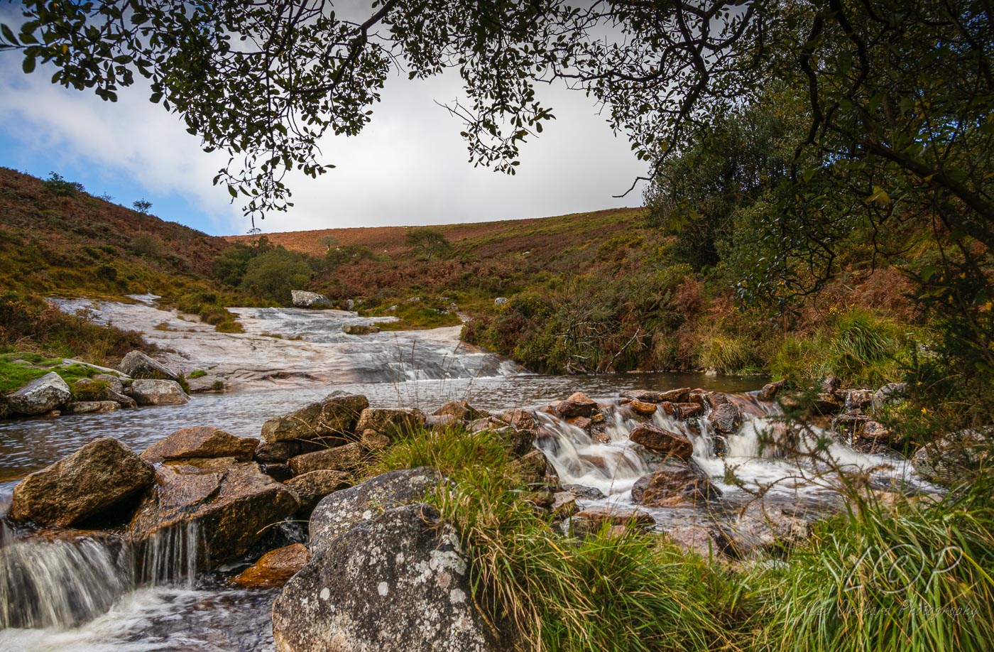
C13 Throwleigh 668 908 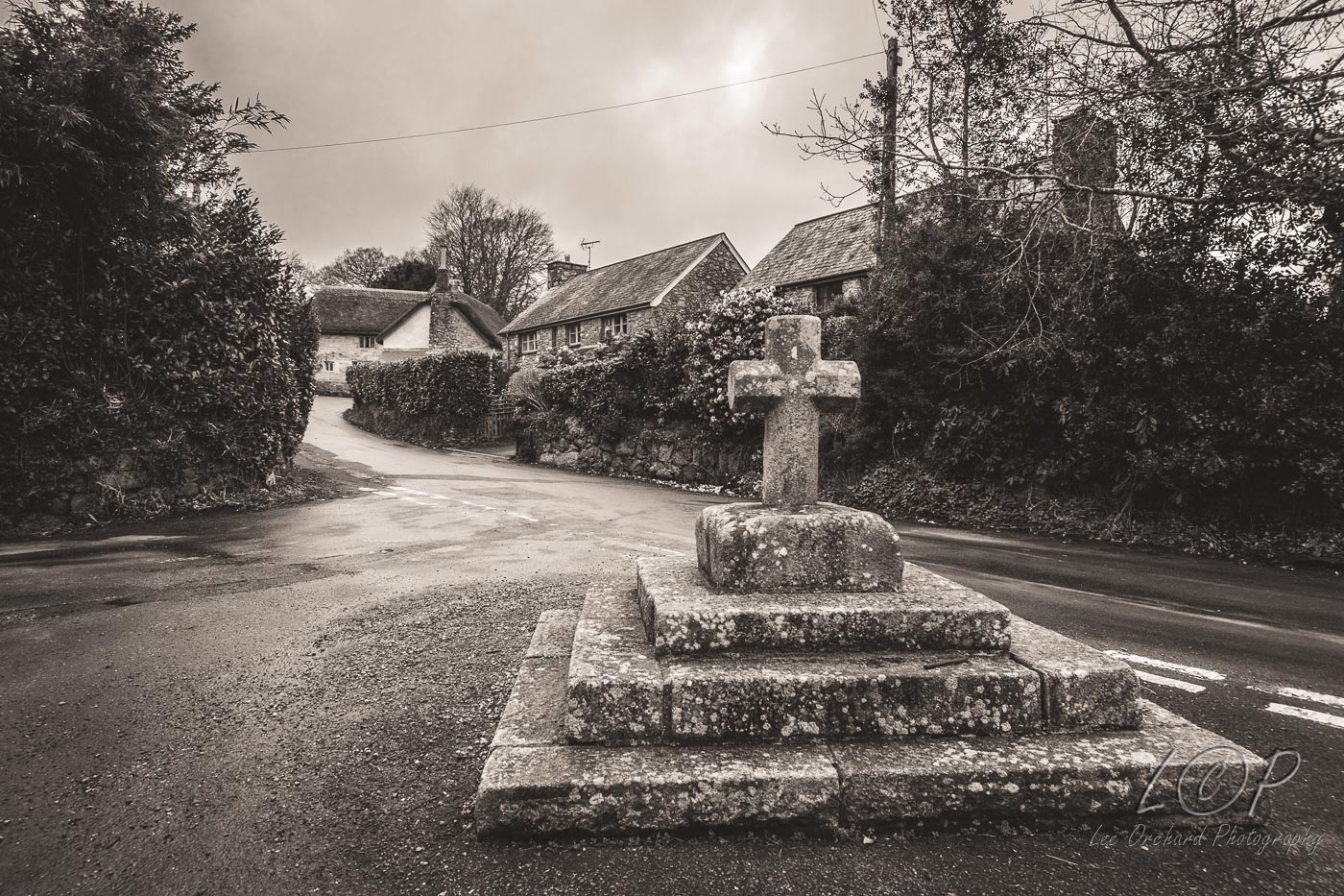
C14 East Ash Manor 680 911 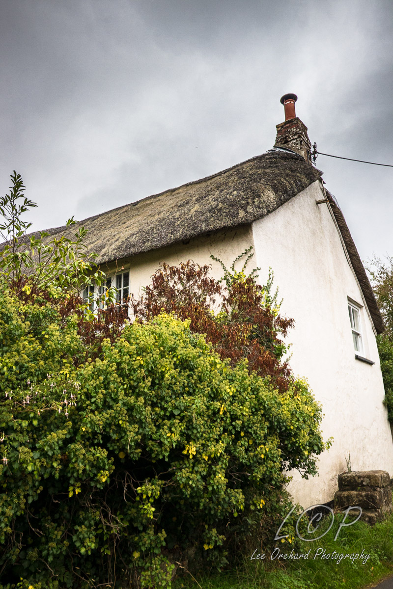
C15 Spinsters Rock 701 908 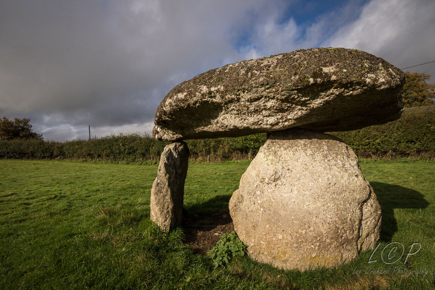
C16 Blackaller Quarry 730 912 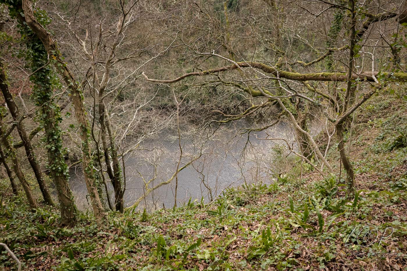
C17 Drewsteignton 735 908 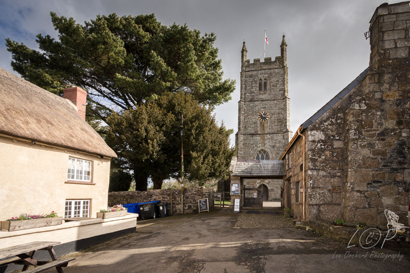
C18 Greystone 749 915 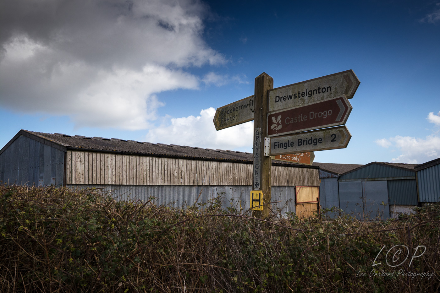
C19 Woodbrooke 776 908 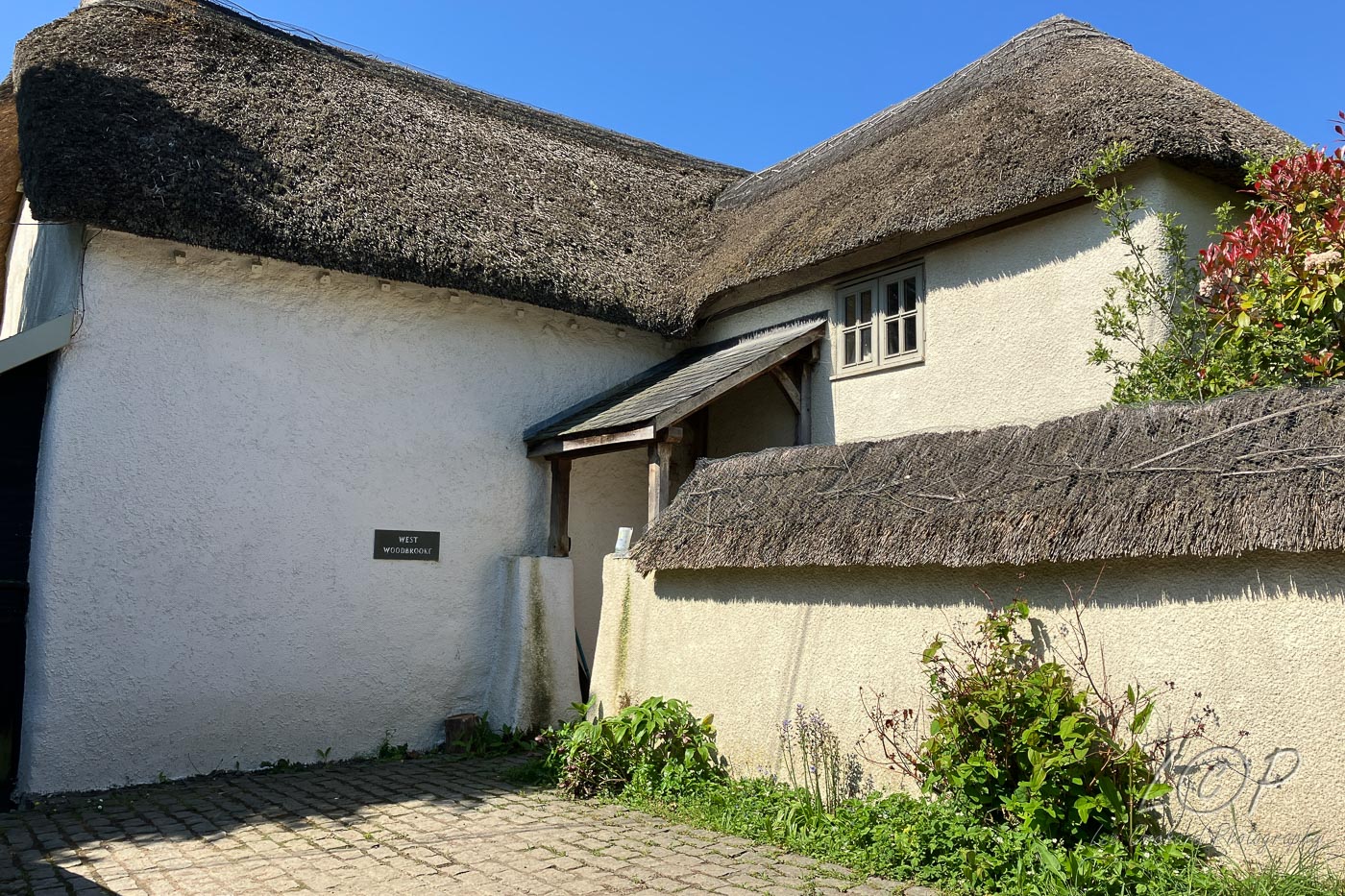
Tap to Hide
D
Squares D5 - D21
D5 Sourton 535 903 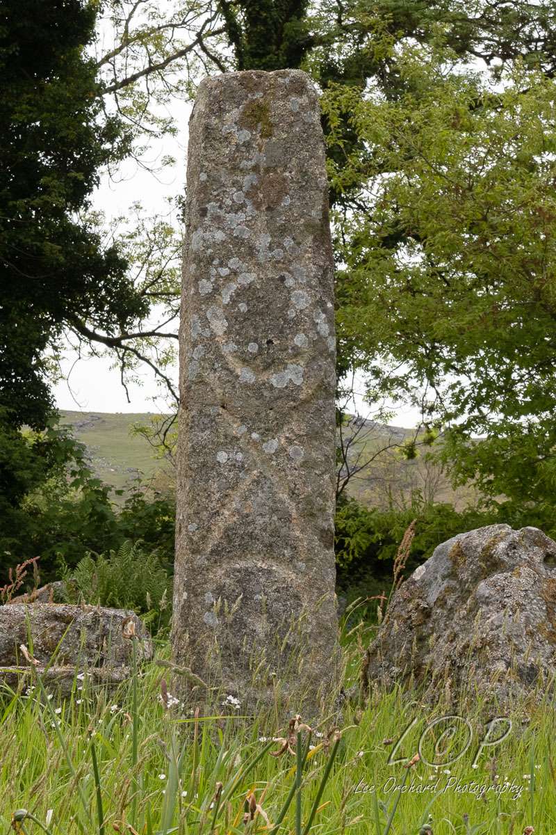
D6 Branscombes Loaf 553 891 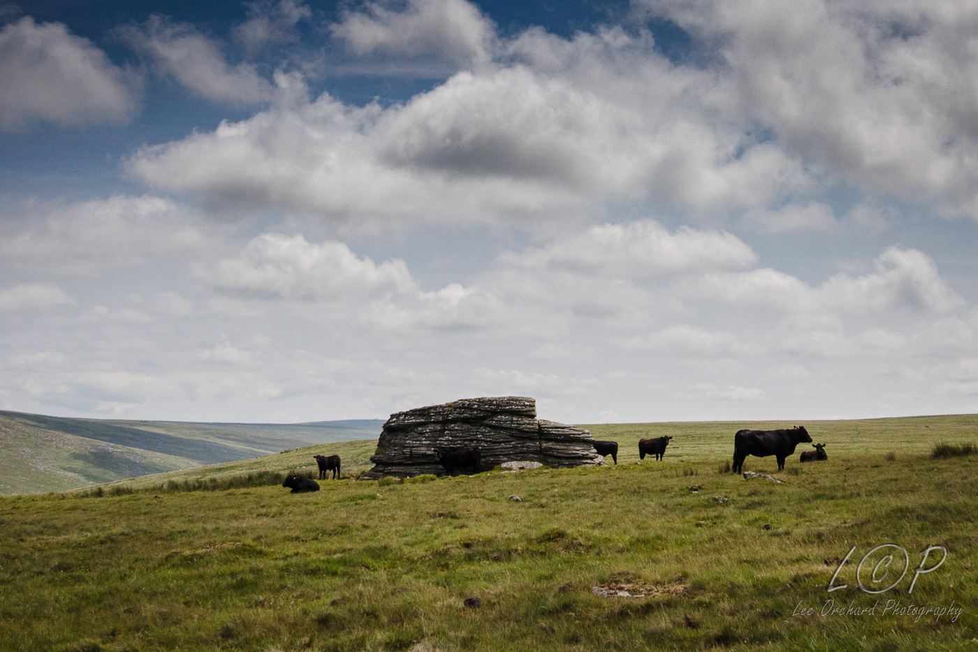
D7 High Willhays 580 892 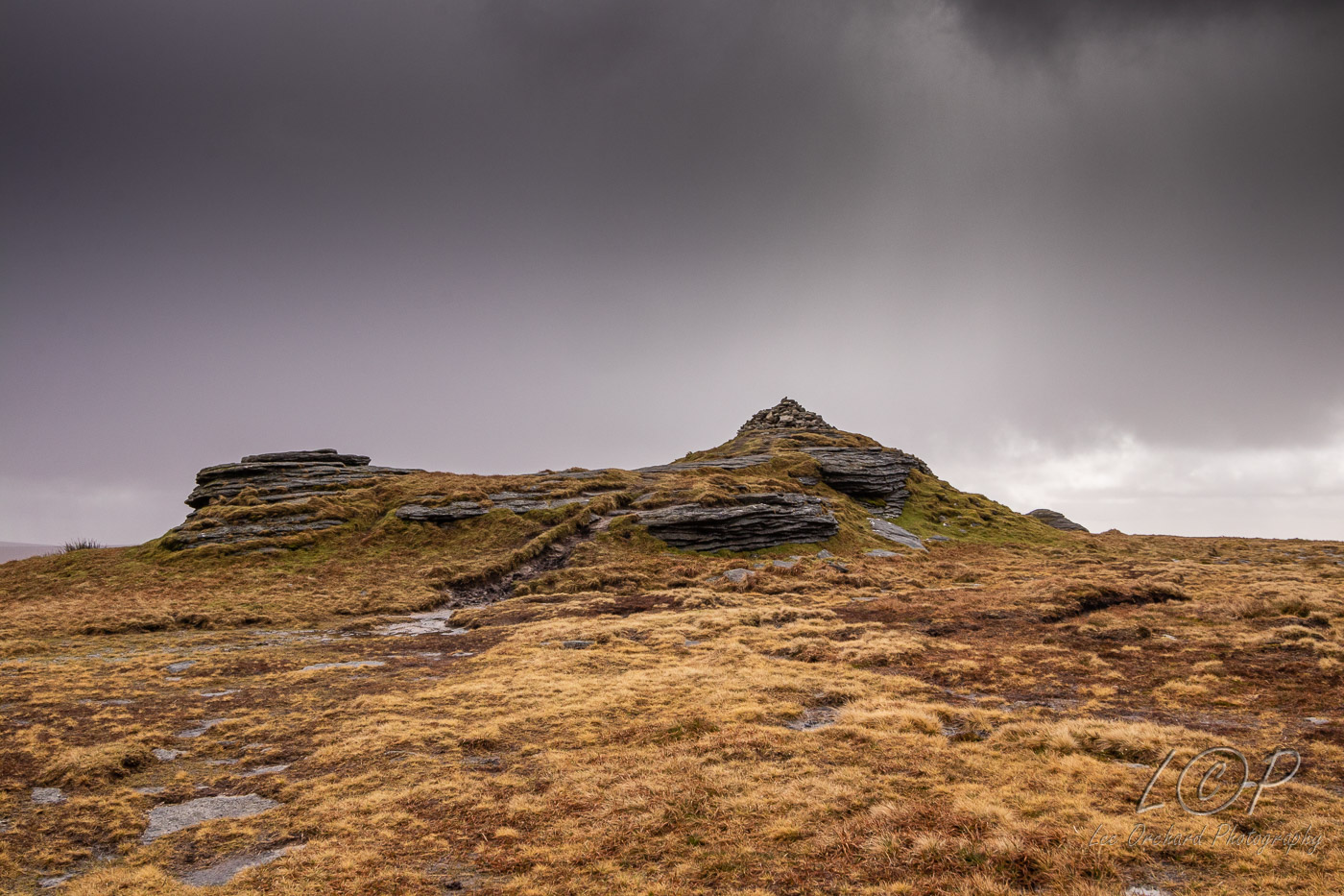
D8 Pixies Pool 585 897 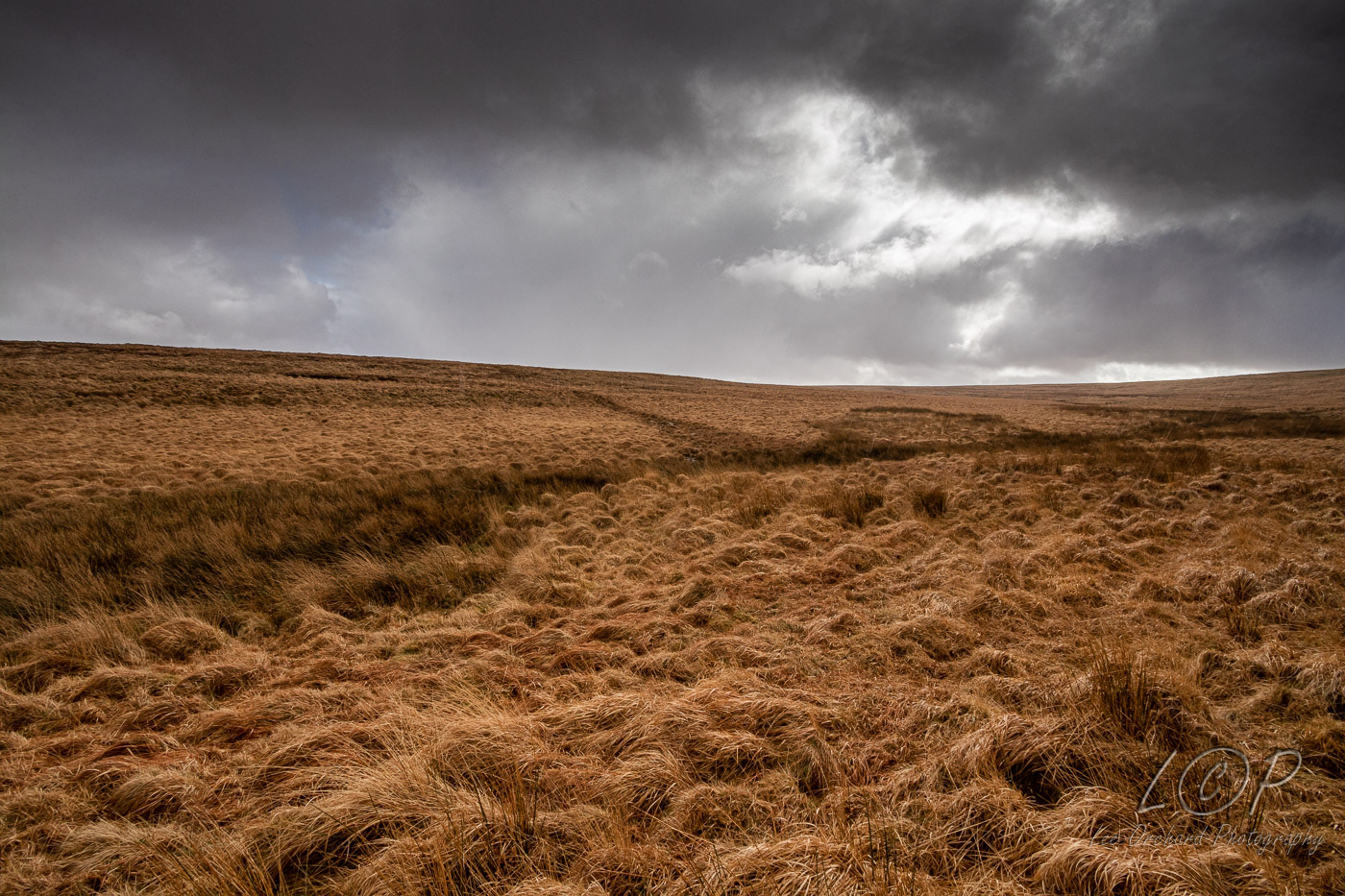
D9 Oke Tor 613 901 
D10 Steeperton Tor 618 888 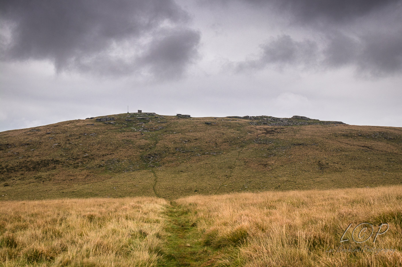
D11 Moor Circle 633 896 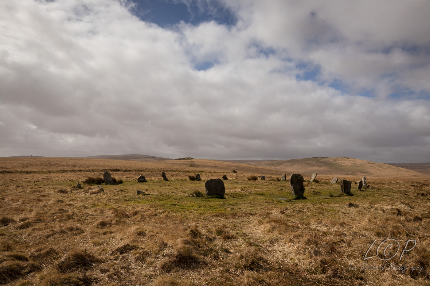
D12 Higher Shilstone 660 901 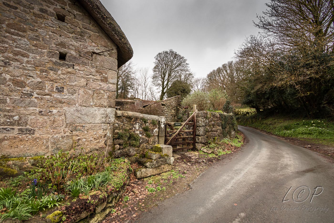
D13 Wonson 674 897 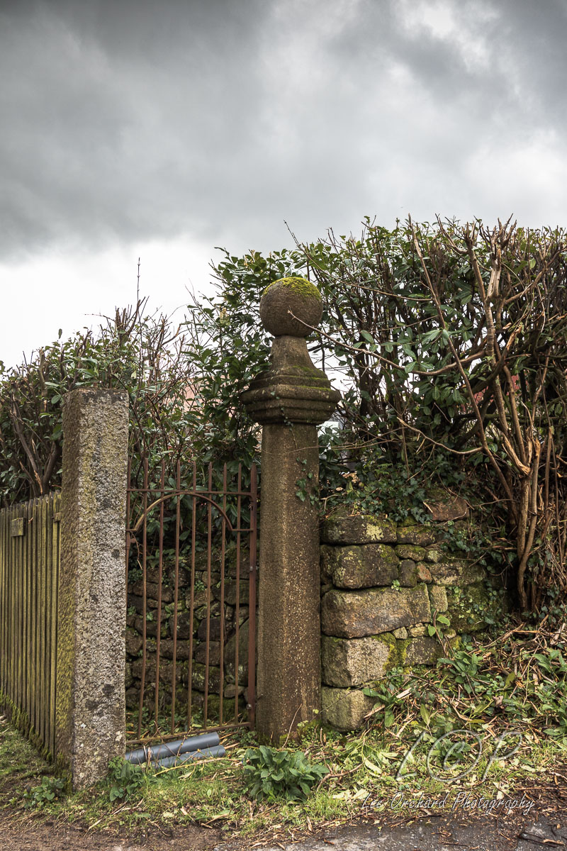
D14 Way Down 690 891 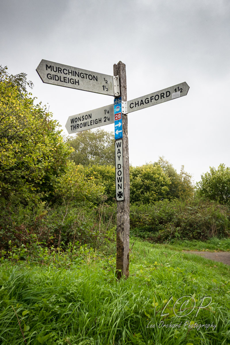
D15 Dogmarsh Bridge to Rushford Mill 713 893 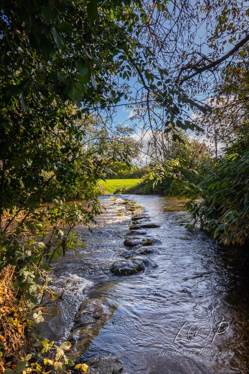
D16 Castle Drogo 722 901 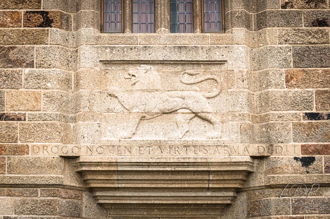
D17 Fingle Bridge 743 899 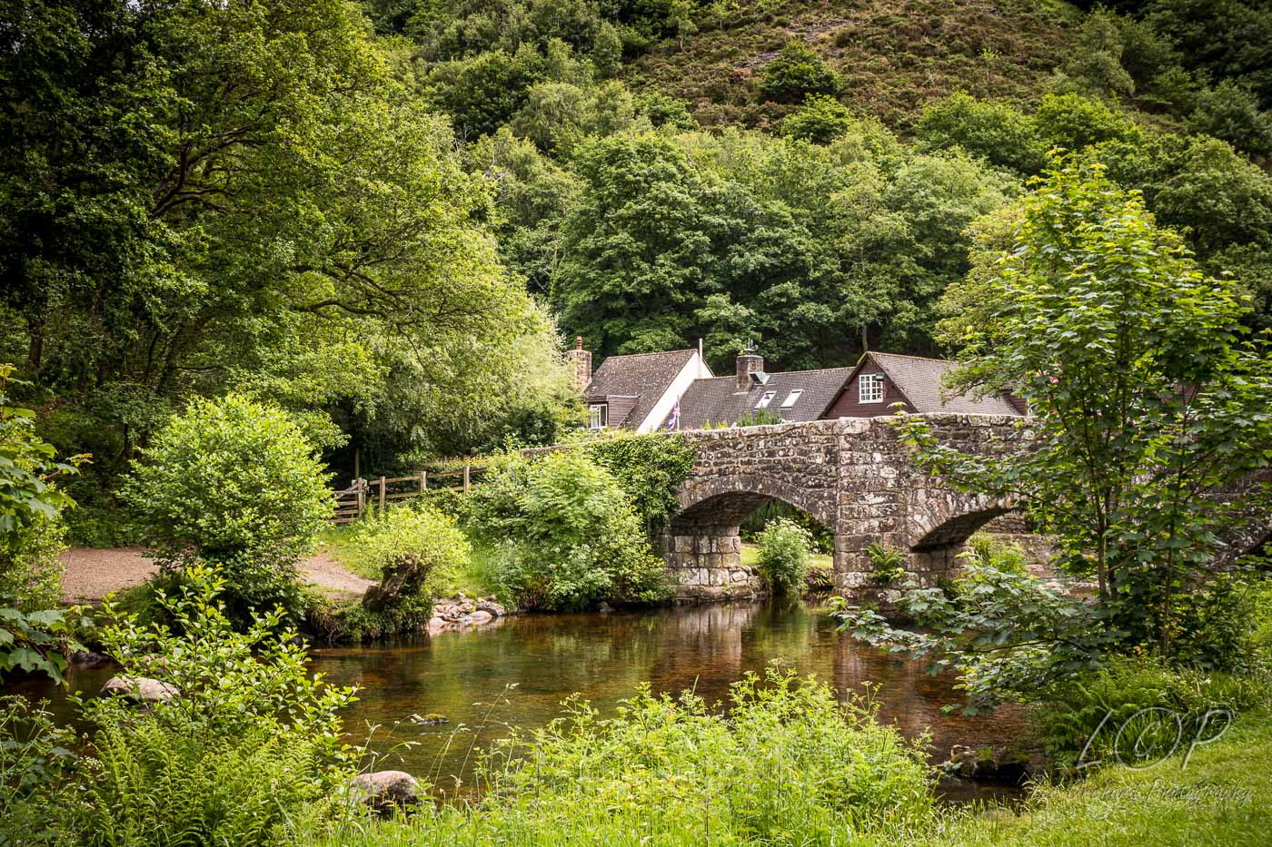
D18 Teign Woods walk 1 743 899
781 898 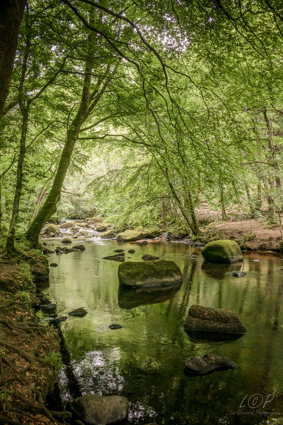
D19 Teign Woods walk 2 743 899
781 898 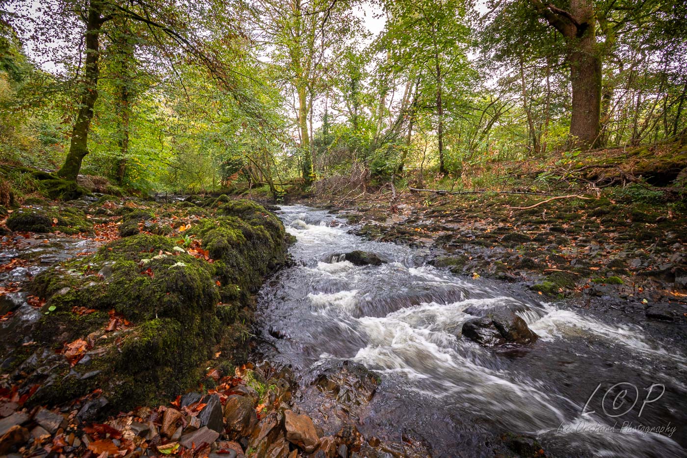
D20 Clifford Bridge 781 898 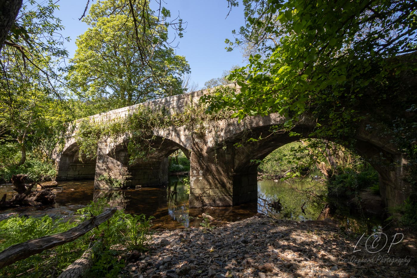
D21 Dunsford 812 892 
Tap to Hide
E
Squares E4 - E21
E4 Lake Viaduct 534 589 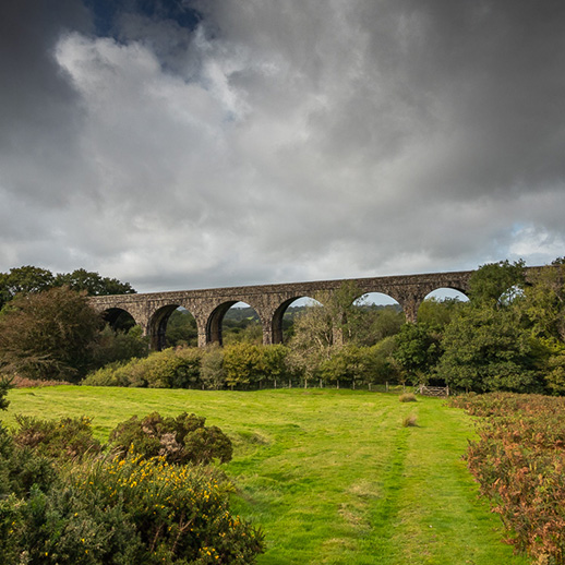
E5 Rattlebrook Railway 546 887 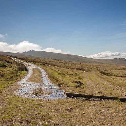
E6 Snipe in Tigers Marsh 555 883 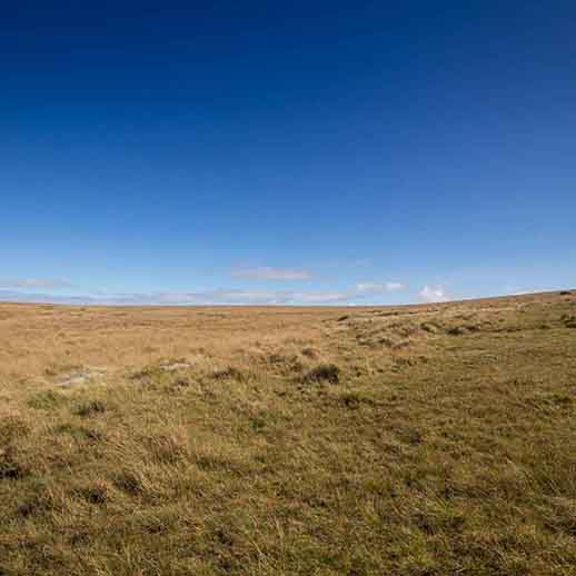
E7 Lints Tor 579 875 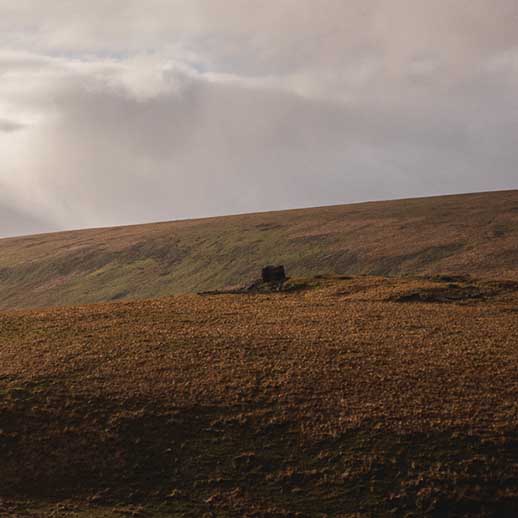
E8 Dinger Tor 586 881 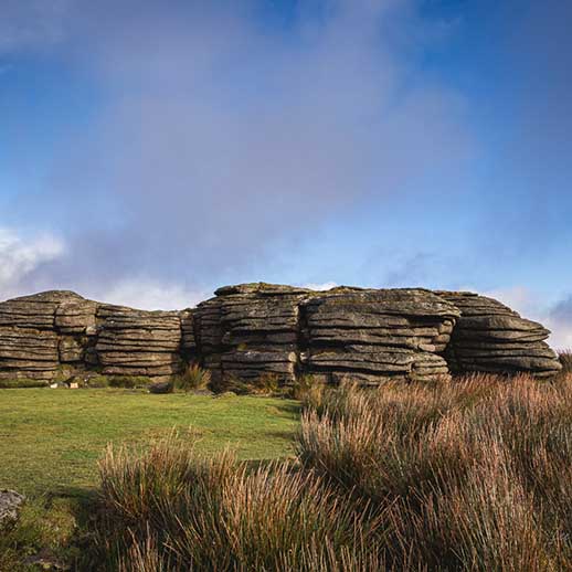
E9 Knack Mine Ford 615 886 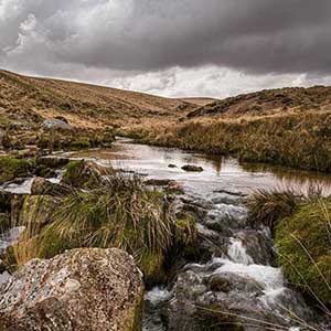
E10 Wild Tor 623 876 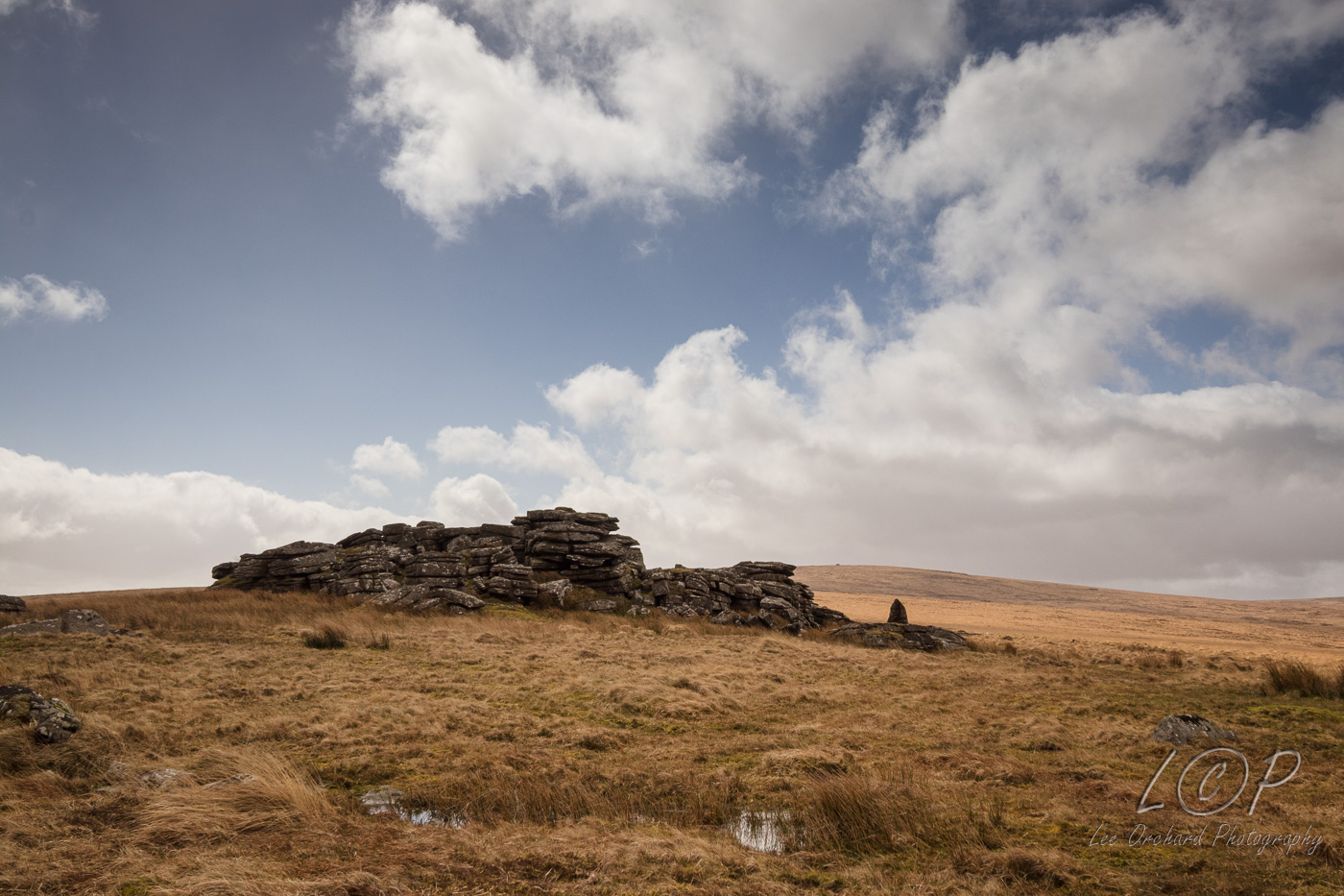
E11 The Walla Brook 648 7 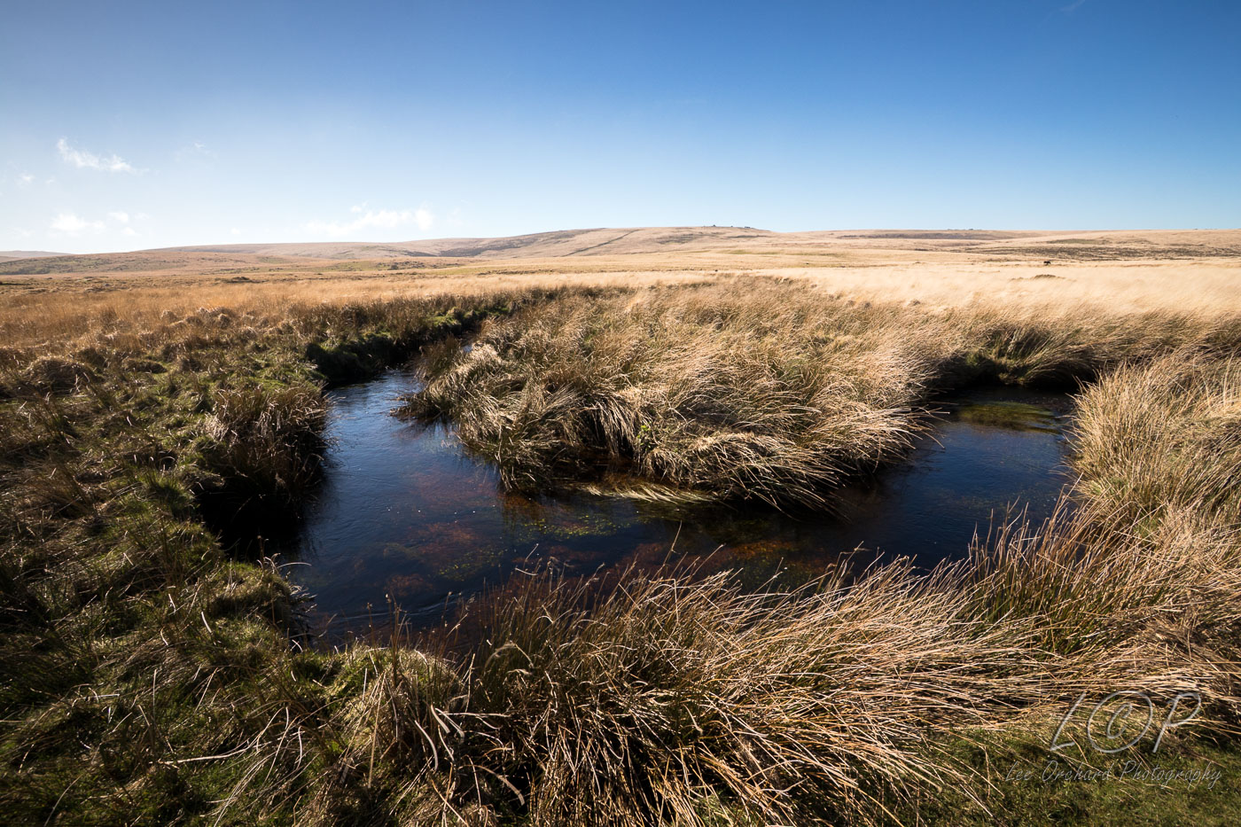
E12 Scorhill Circle 655 874 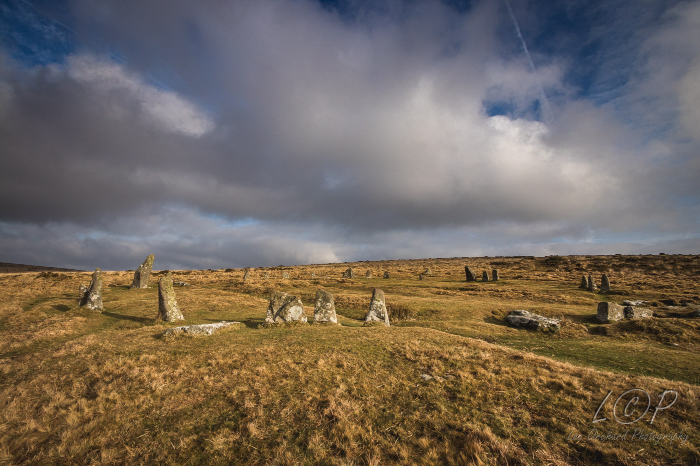
E13 Gidleigh 671 884 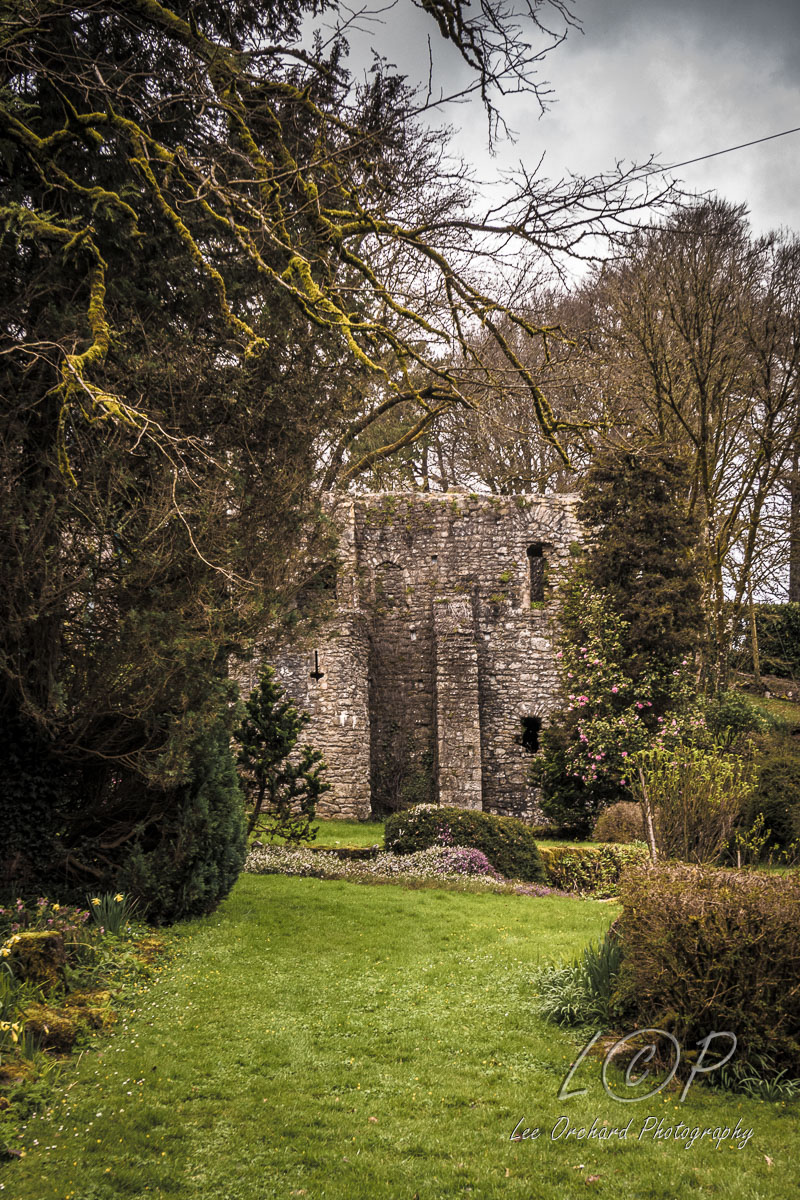
E14 Holy Street Manor 689 878 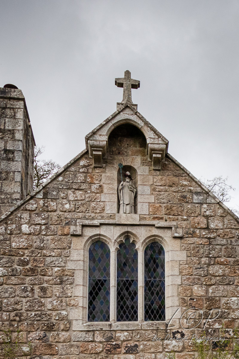
E15 Chagford 701 875 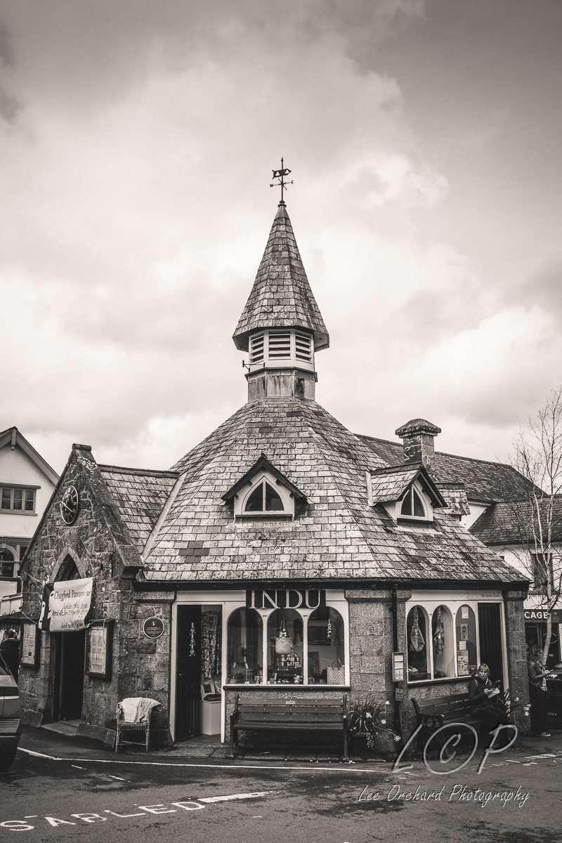
E16 Drewston 726 873 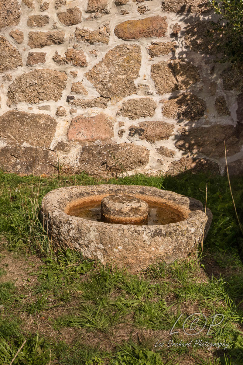
E17 Cranbrook Castle 739 889 
E18 Willingstone Rock 753 886 
E19 Mardon Down 771 878 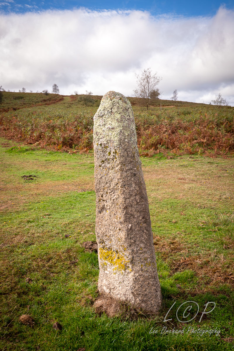
E20 St Thomas Cleave 795 884 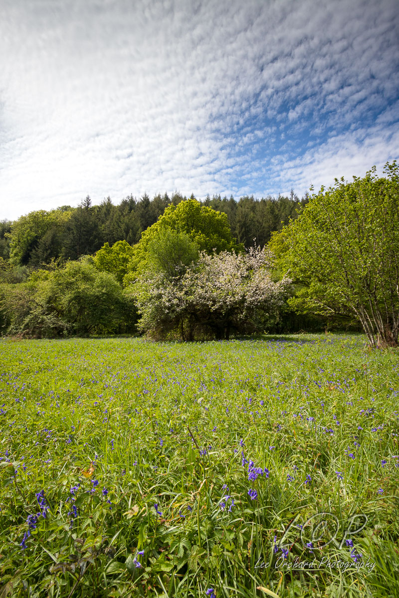
E21 Steps Bridge 804 883 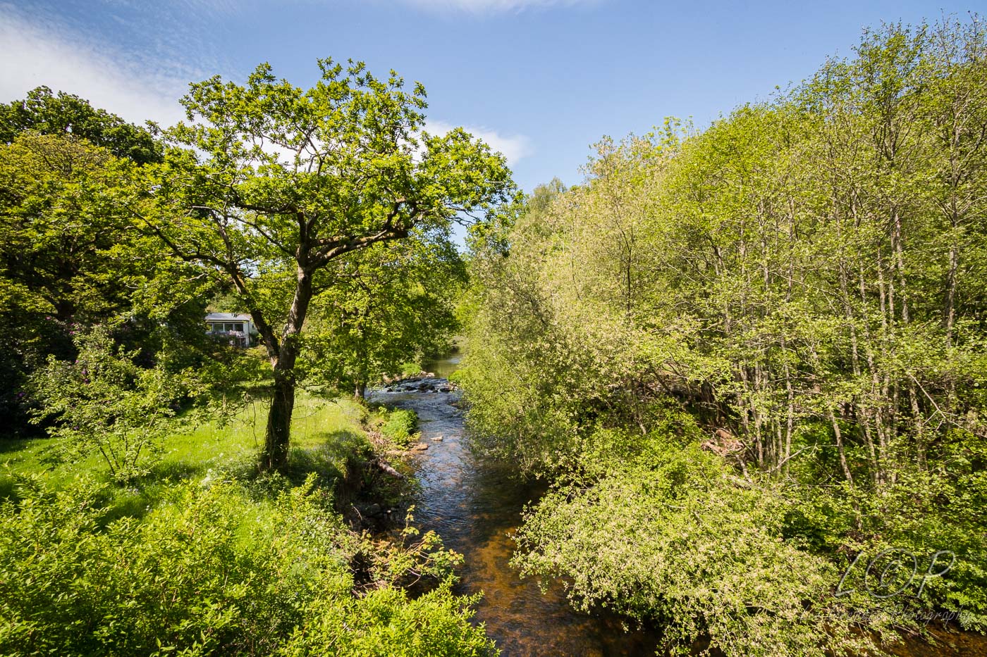
E22 Dunsford Mill Step s 810 886 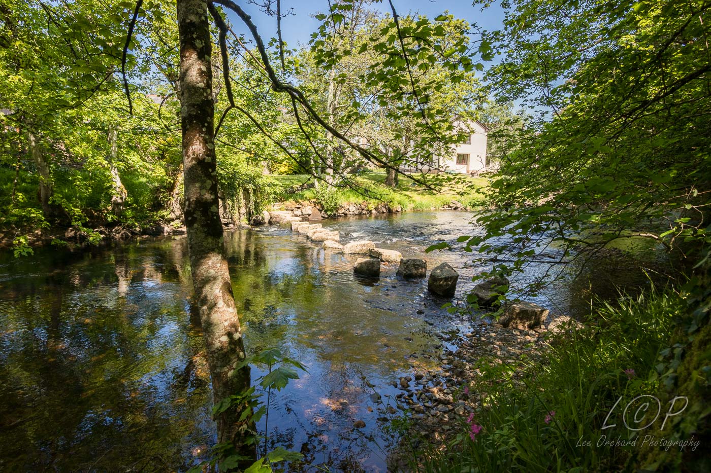
Tap to Hide
F
Squares F4 - F21
F4 High Down Ford 532 857 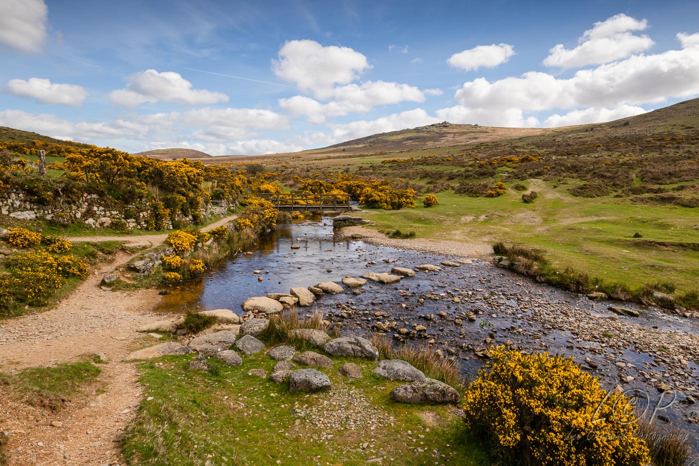
F5 Great Links Tor 551 867 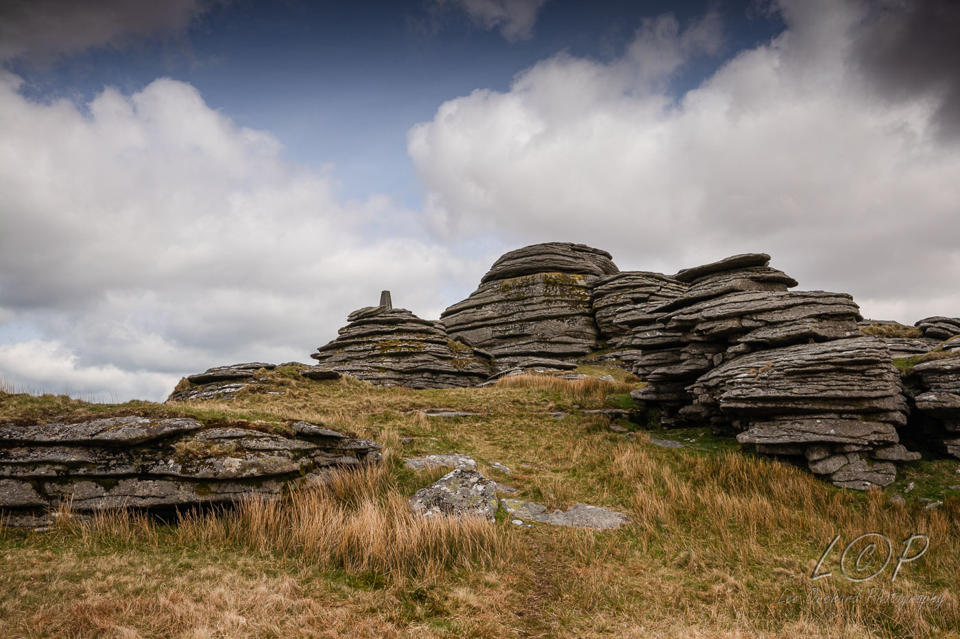
F6 Bleak House & Rattlebrook Peat Works 559 864 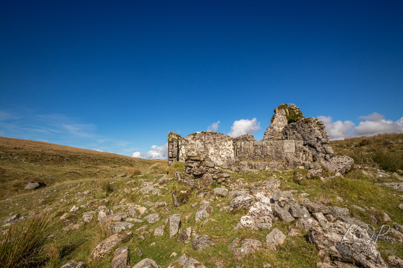
F7 Red Grouse on Amicombe Hill 5589 5683 
F8 Great Kneeset 589 858 
F9 Ockerton Court 603 868 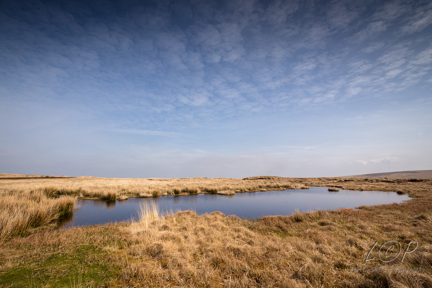
F10 Watern Tor 629 868 
F11 Manga Rock 636 858 
F12 the Teign Tolmen 655 871 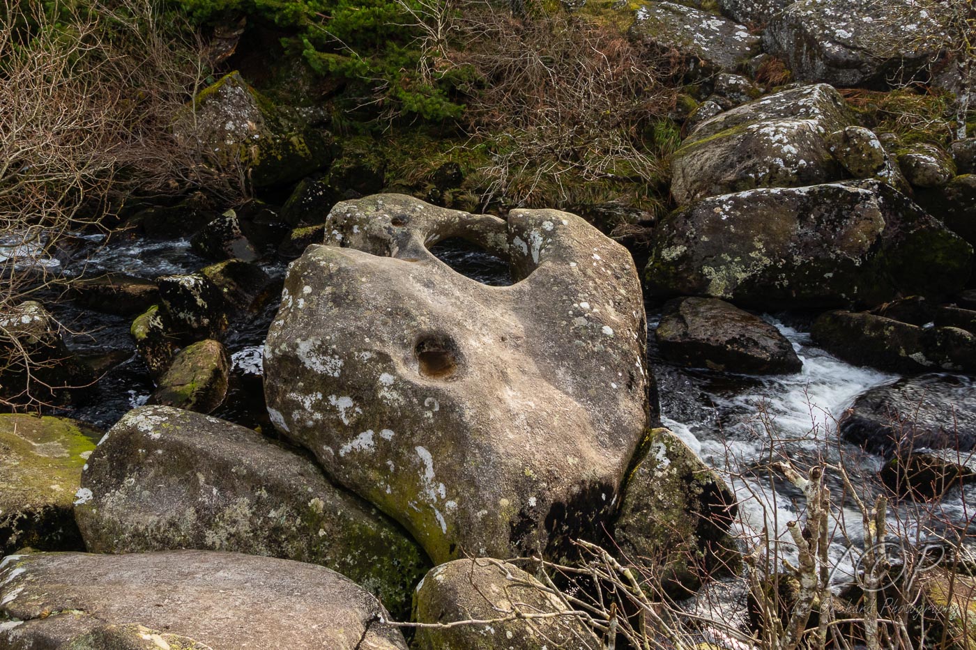
F13 Kestor Rock 665 863 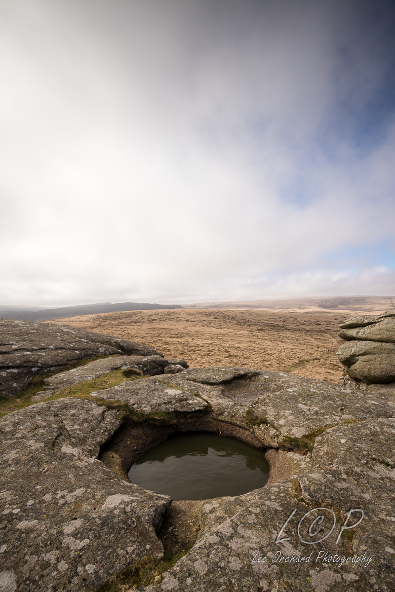
F14 Hole Farm 685 861 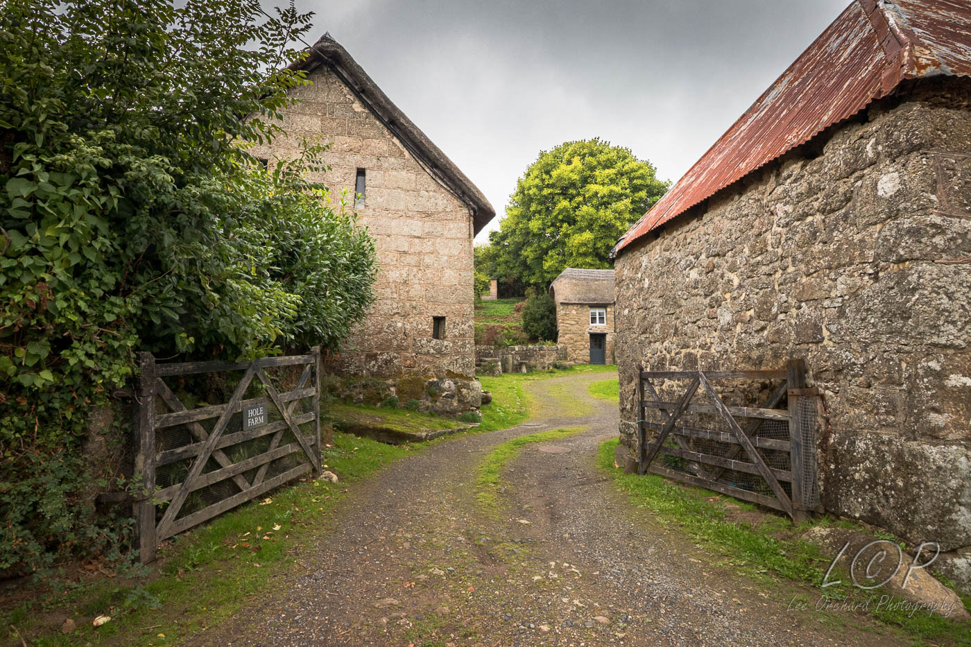
F15 Week Down 712 865 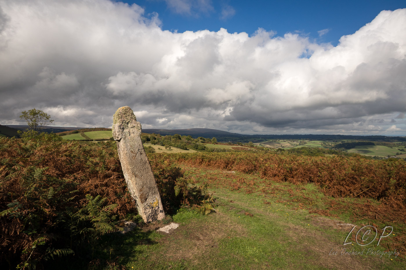
F16 Middlecott 715 861 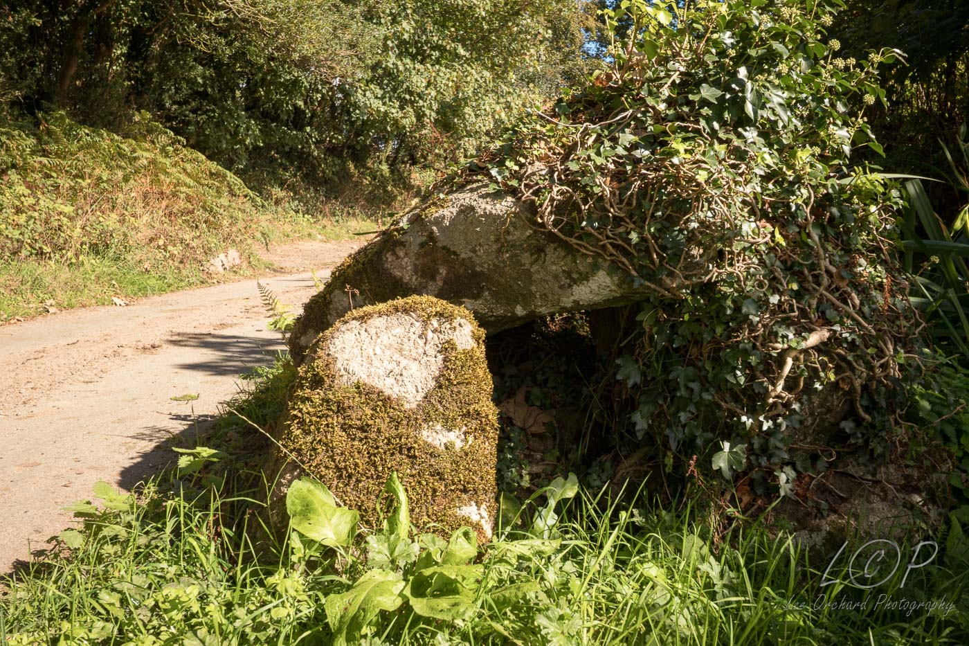
F17 Sloncombe 737 862 
F18 Moretonhampstead 754 861 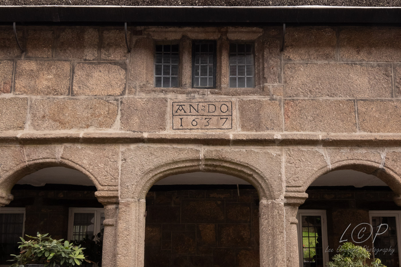
F19 Hingston Rock 769 858 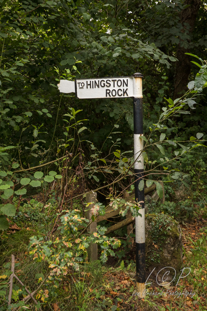
F20 Doccombe 777 868 
F21 Heltor Rock 799 870 
F22 Bridford 816 684 
F23 Weirsmeet 823 872 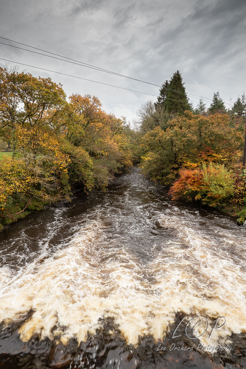
Tap to Hide
G
Squares G3 - G23
G3 Lydford Village 509 847 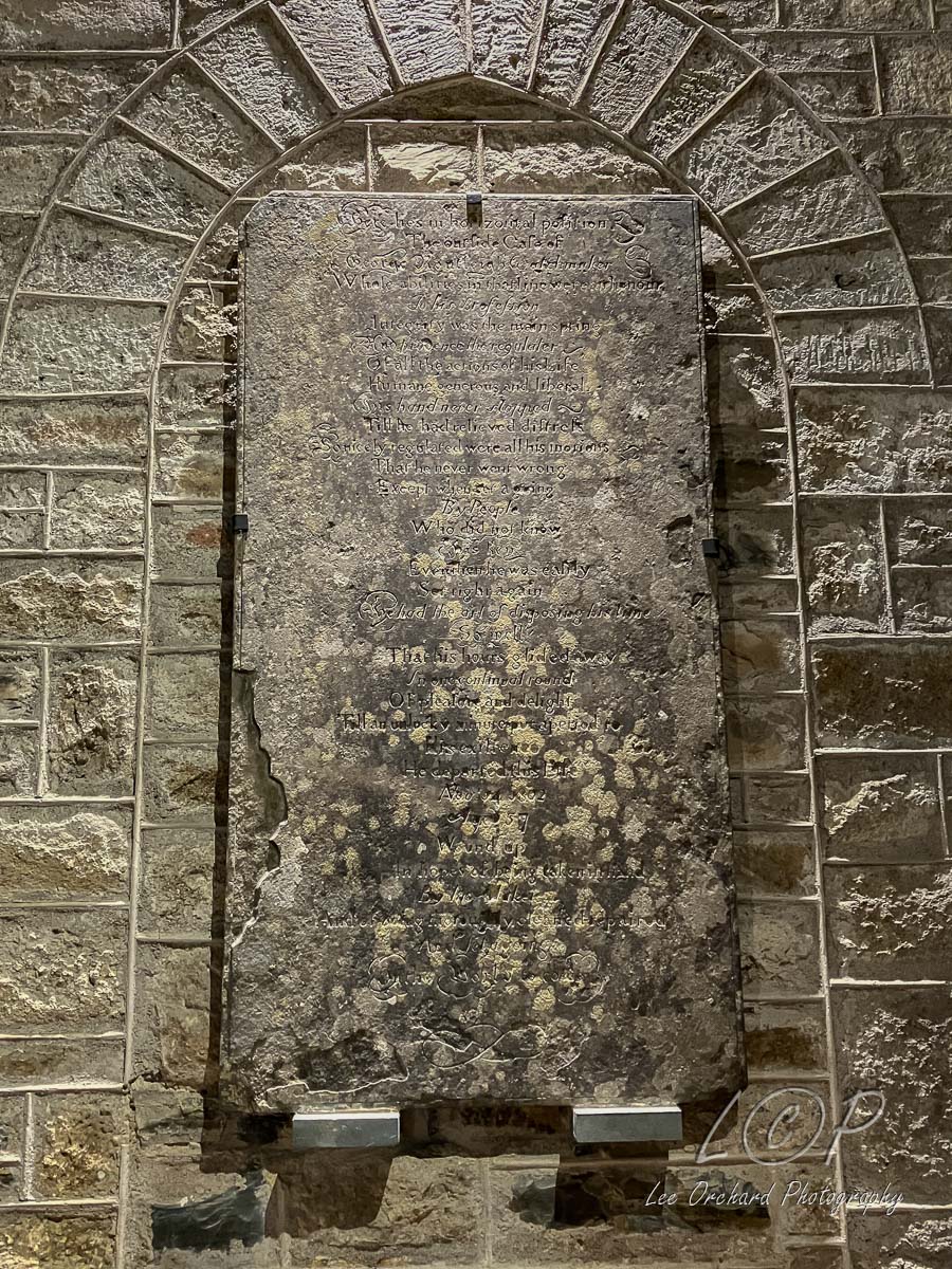
G4 Black Rock 533 854 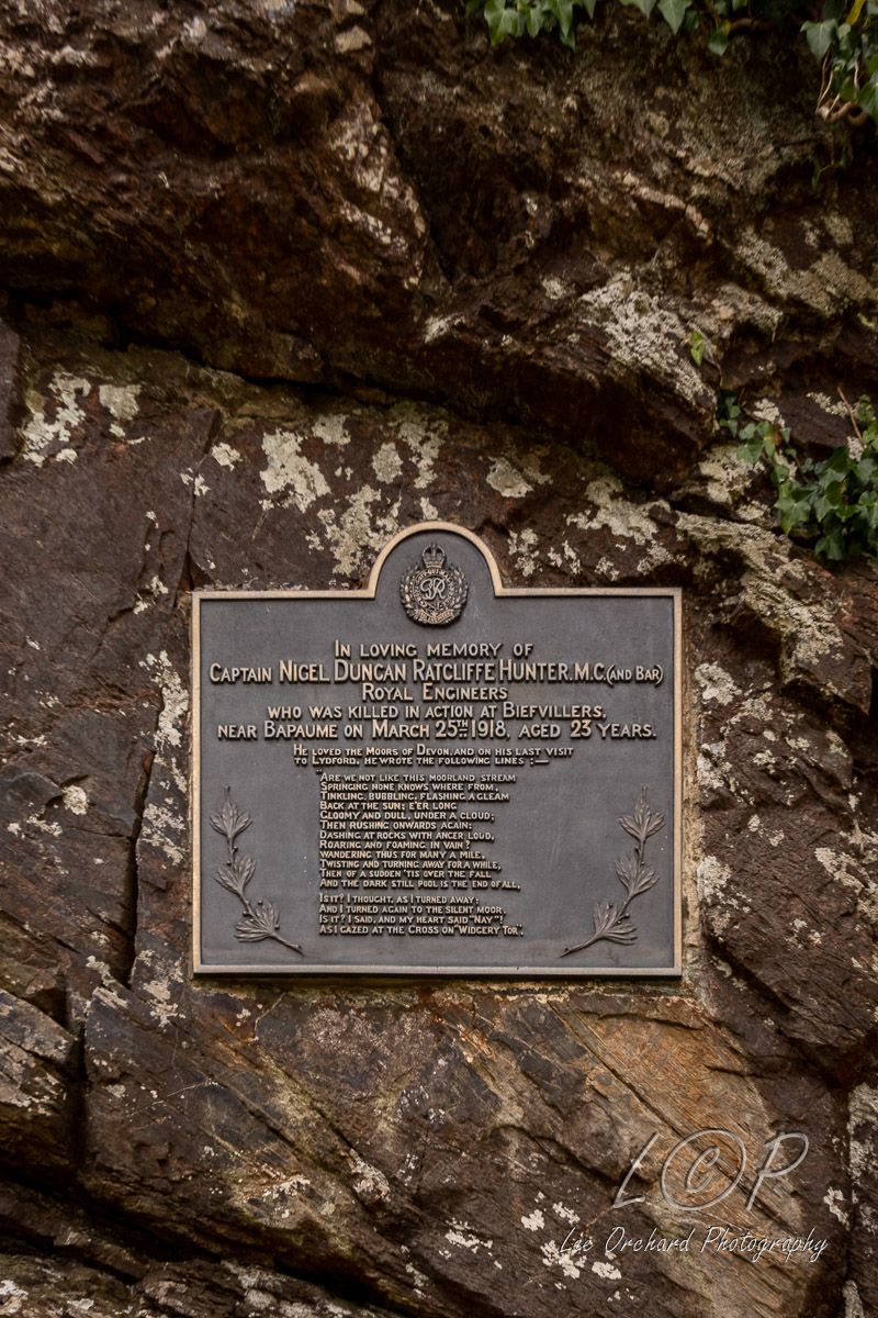
G5 Widgery Cross 540 856 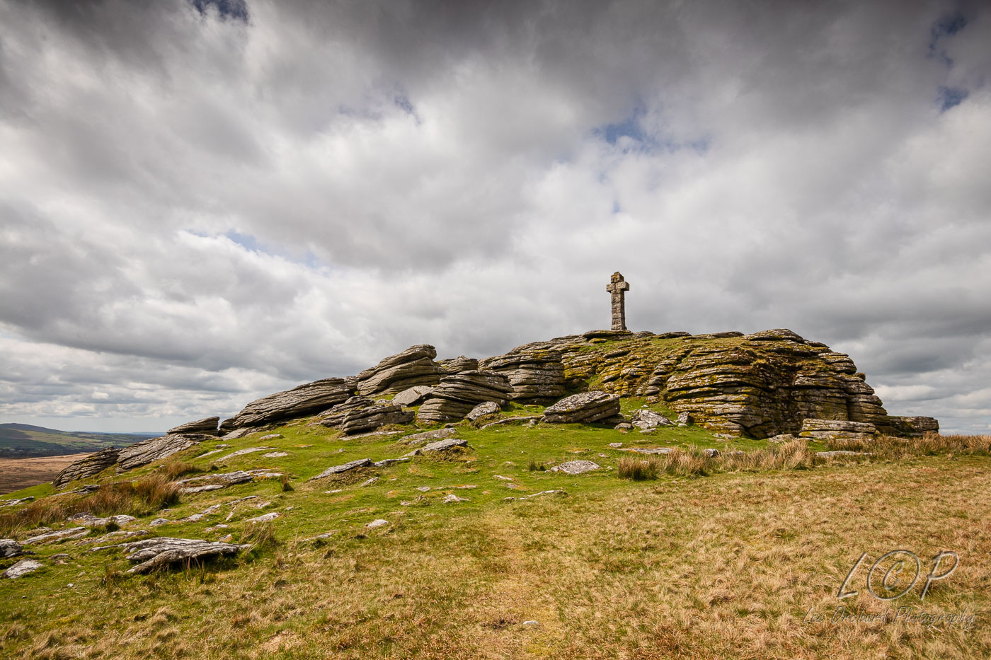
G6 Rattlebrook 562 841 
G7 Wilderness 574 849 
G8 Black Ridge Peat Pass 598859 
G9 Cranmere Pool 603 858 
G10 Great Varracombe 627 842 
G11 Teignhead Farm & Clapper 636 844 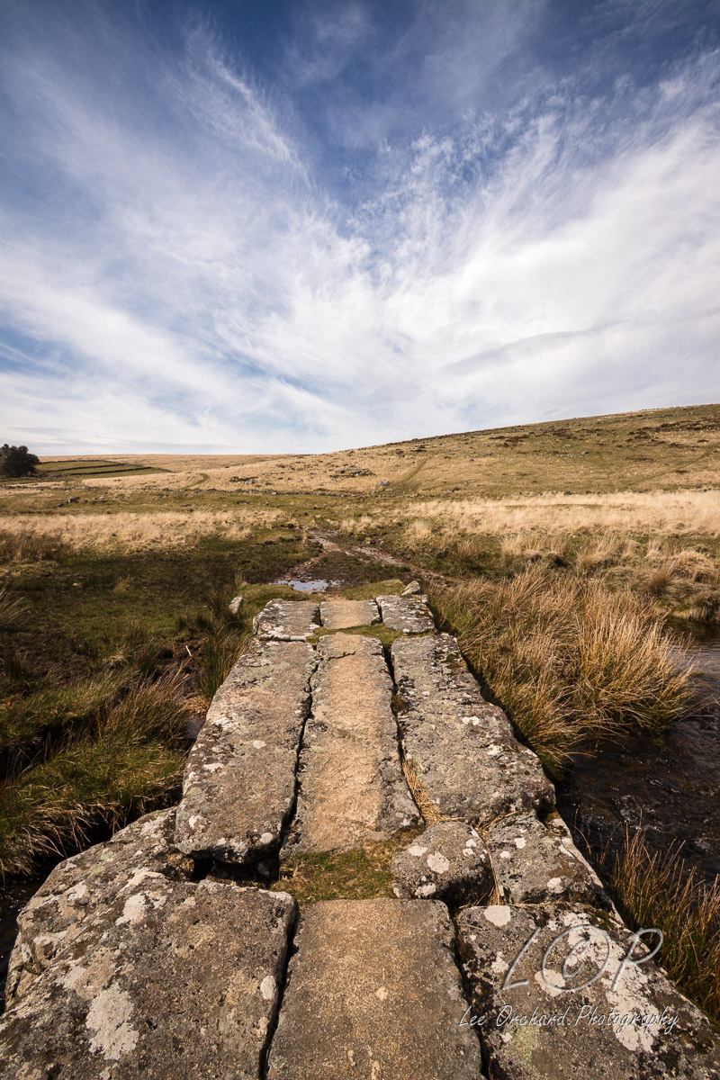
G12 Fernworthy Forest 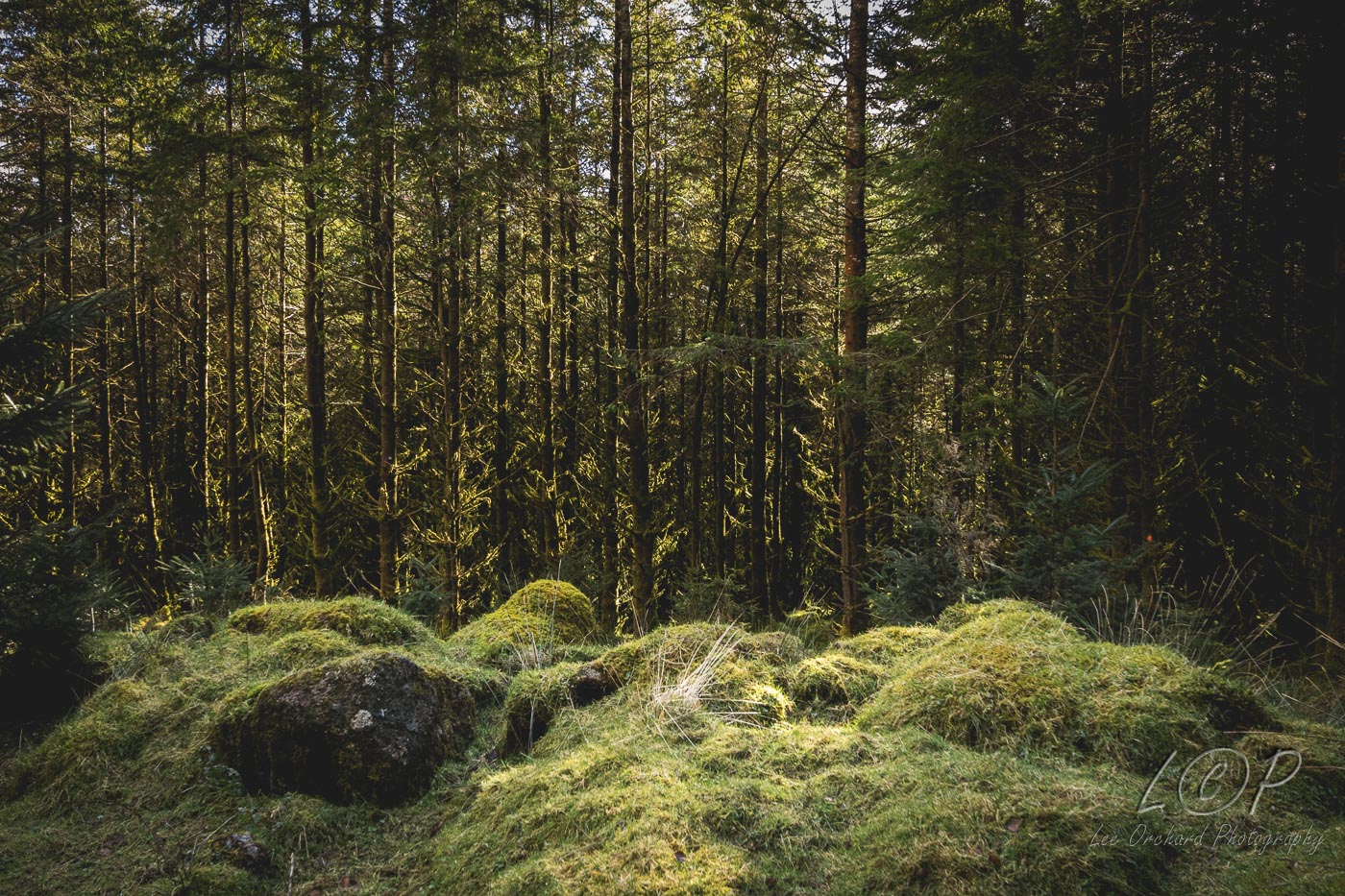
G13 Fernworthy Reservoir NE 671 843 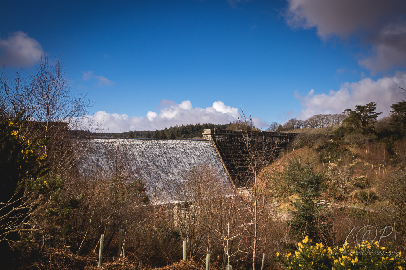
G14 Jurston 696 844 
G15 The Watch Place 713 842 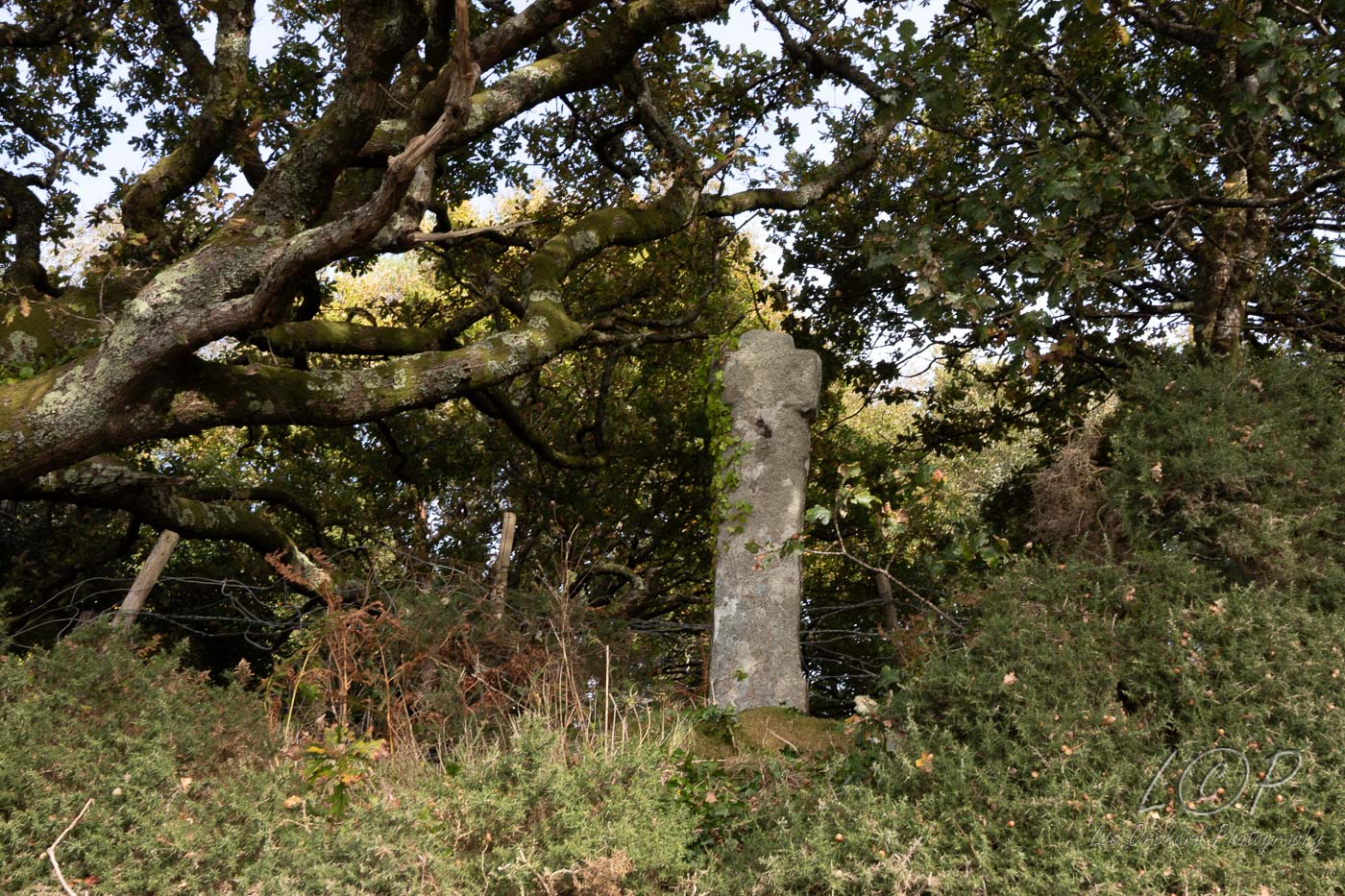
G16 Hele Cross 721 841 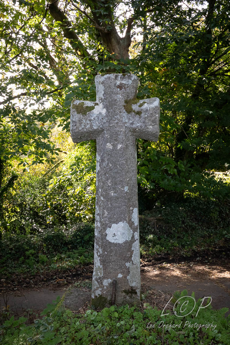
G17 Bovey Cross 743 847 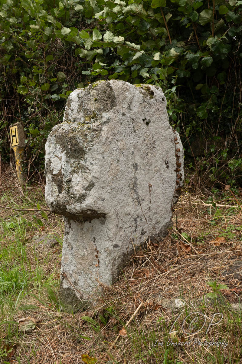
G18 Brinning 752 845 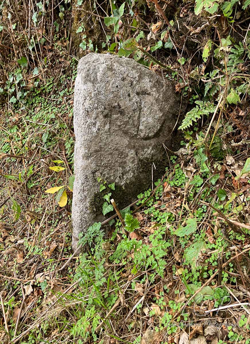
G19 Wray Barton 770 846 
G20 Blackingstone Rock 786 856 
G21 Kennick Reservoir 805 840 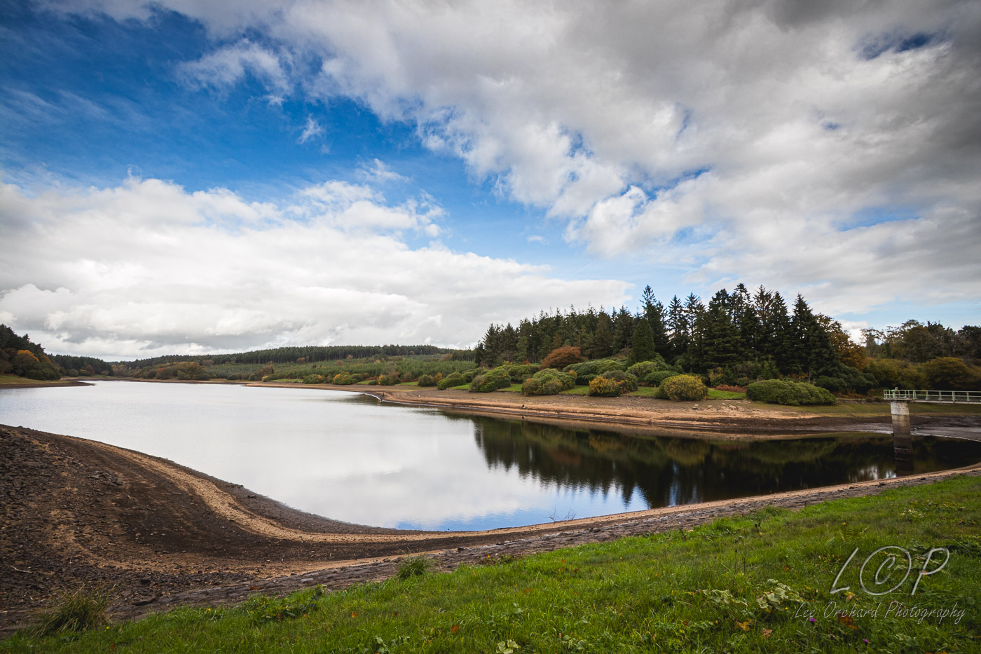
G22 Three Holes 817 853 
G23 Christow 836 850
Tap to Hide
H
Squares H
H2 Lydford Gorge 509 845 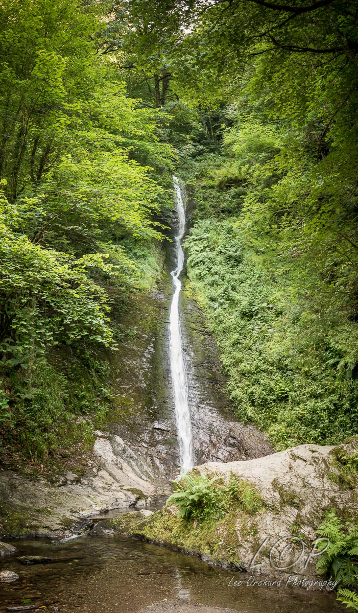
H3 Roadside Information 518 834 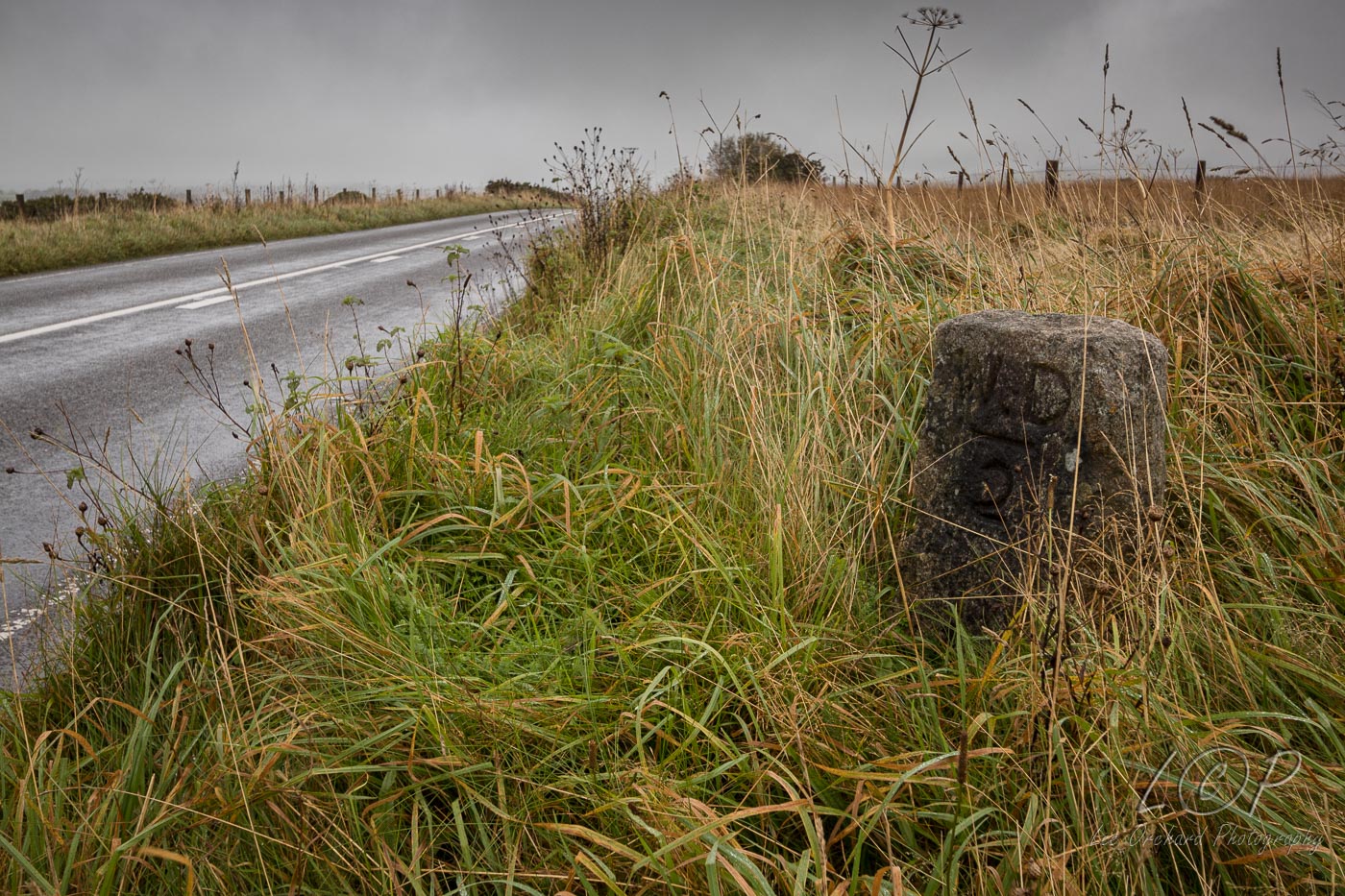
H4 Willsworthy Range 523 833 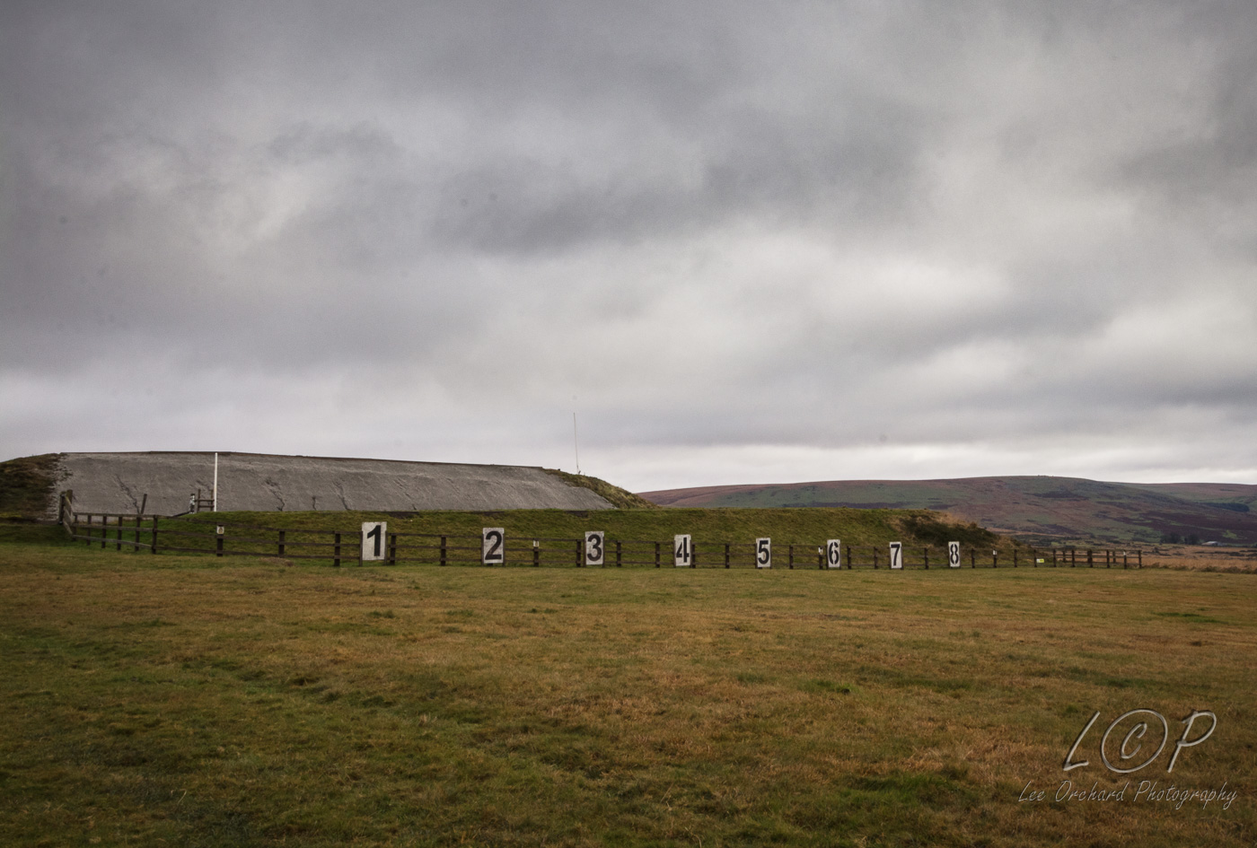
H5 Tavy Cleave 550 830 
H6 Watern Oke 564 835 
H7 Amicombe Brook 
H8 Fur Tor 588 831 
H9 Cut Hill 599 827 
H10 Statt's House 622 824 
H11 Grey Wethers 638 831 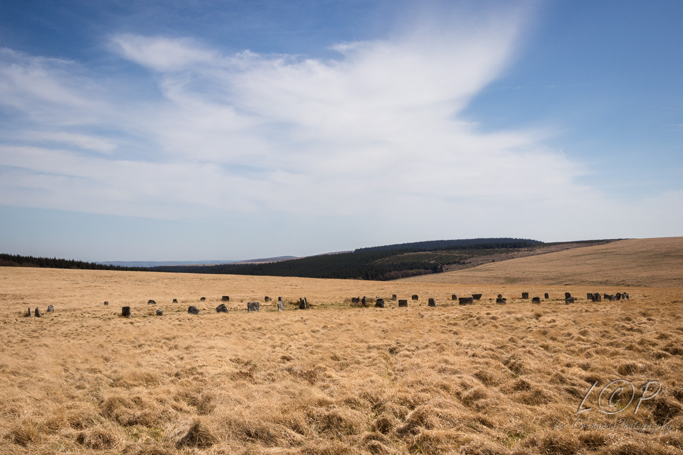
H12 Fernworthy Reservoir (S.W) 662 839 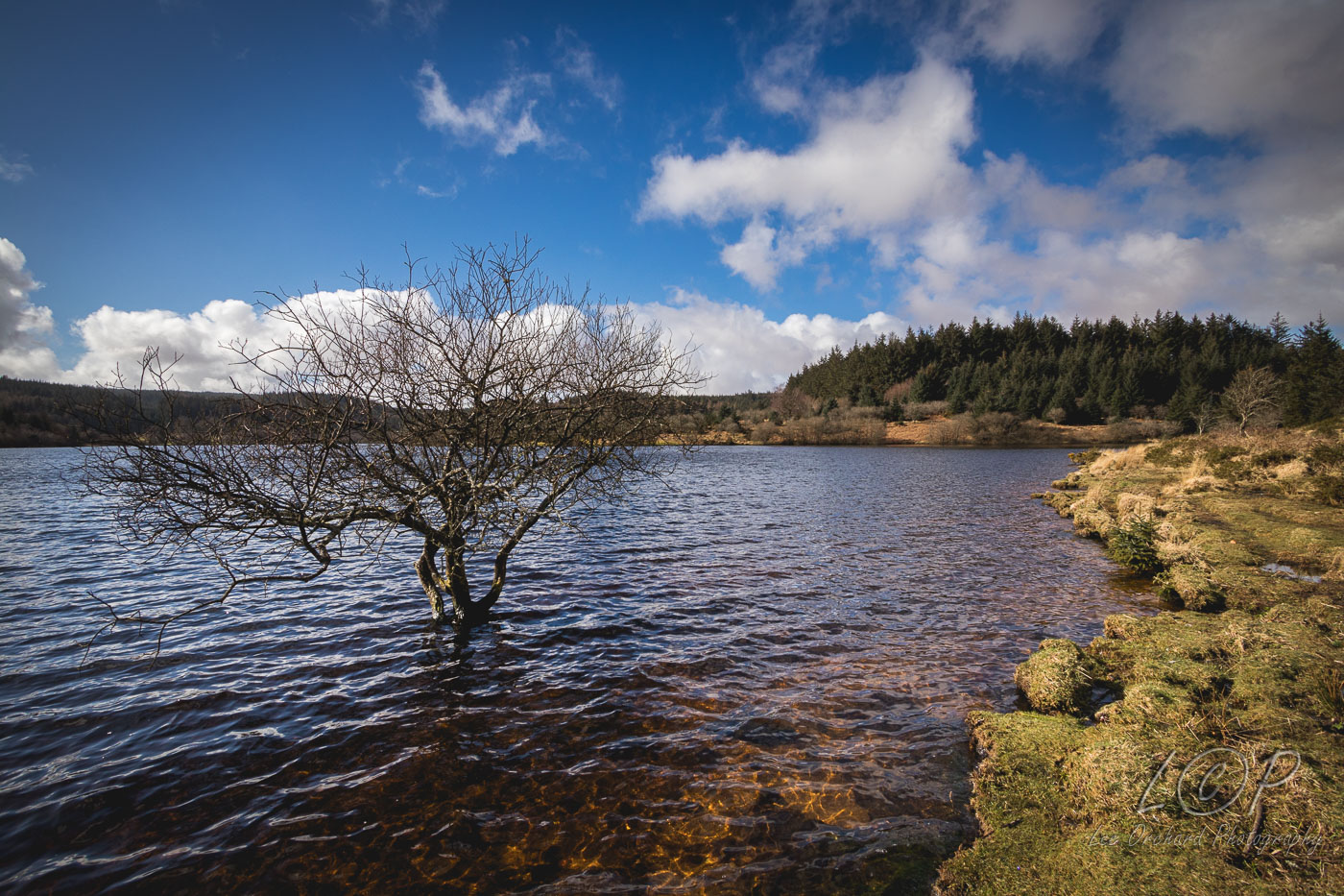
H13 Hurton Row 673 824 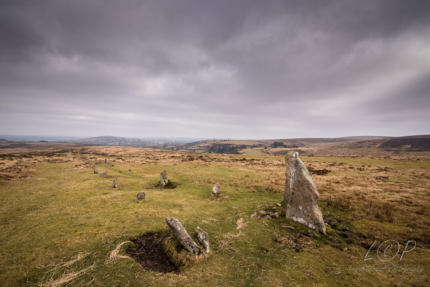
H14 East Bovey Head 615 886 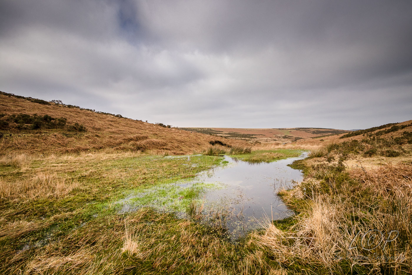
H15 615 886 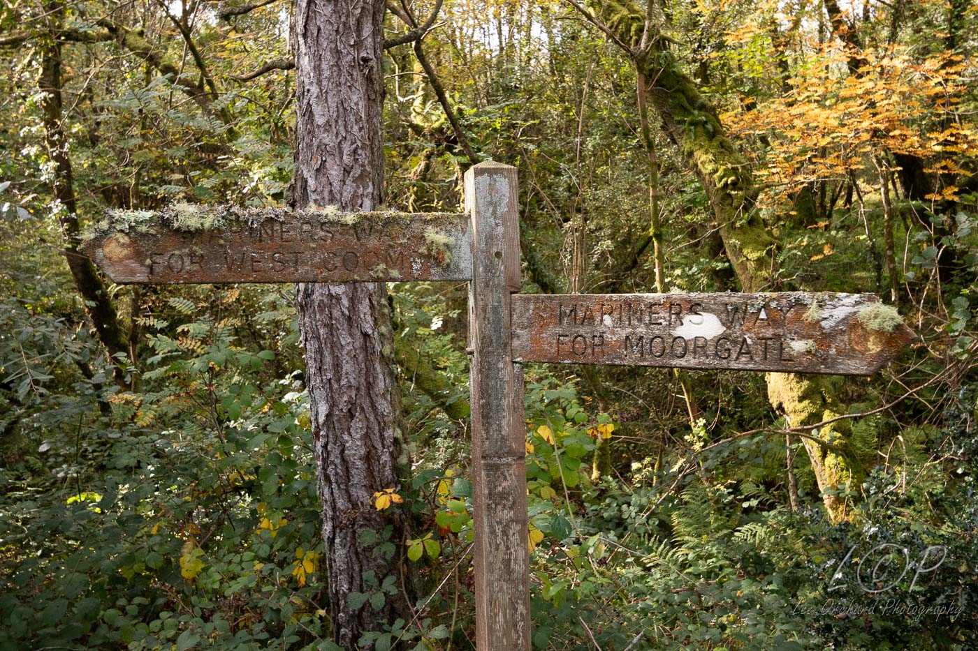
H16 615 886 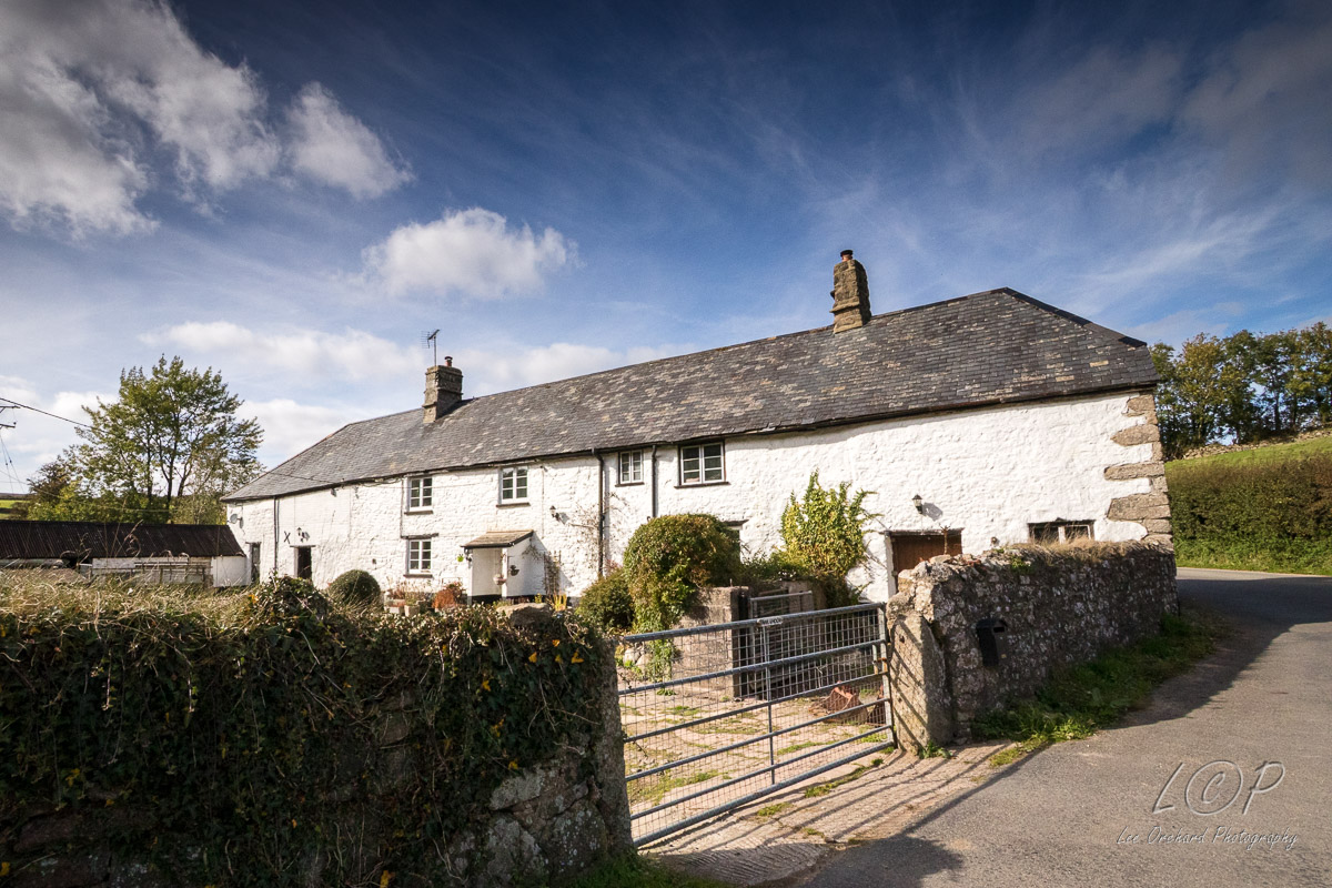
H17 615 886 
H18 615 886 
H19 Sanduck Cross 615 886 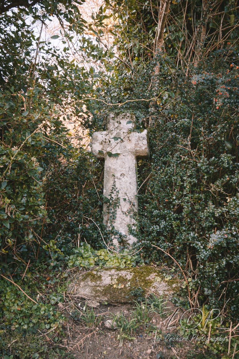
H20 615 886 
H21 615 886 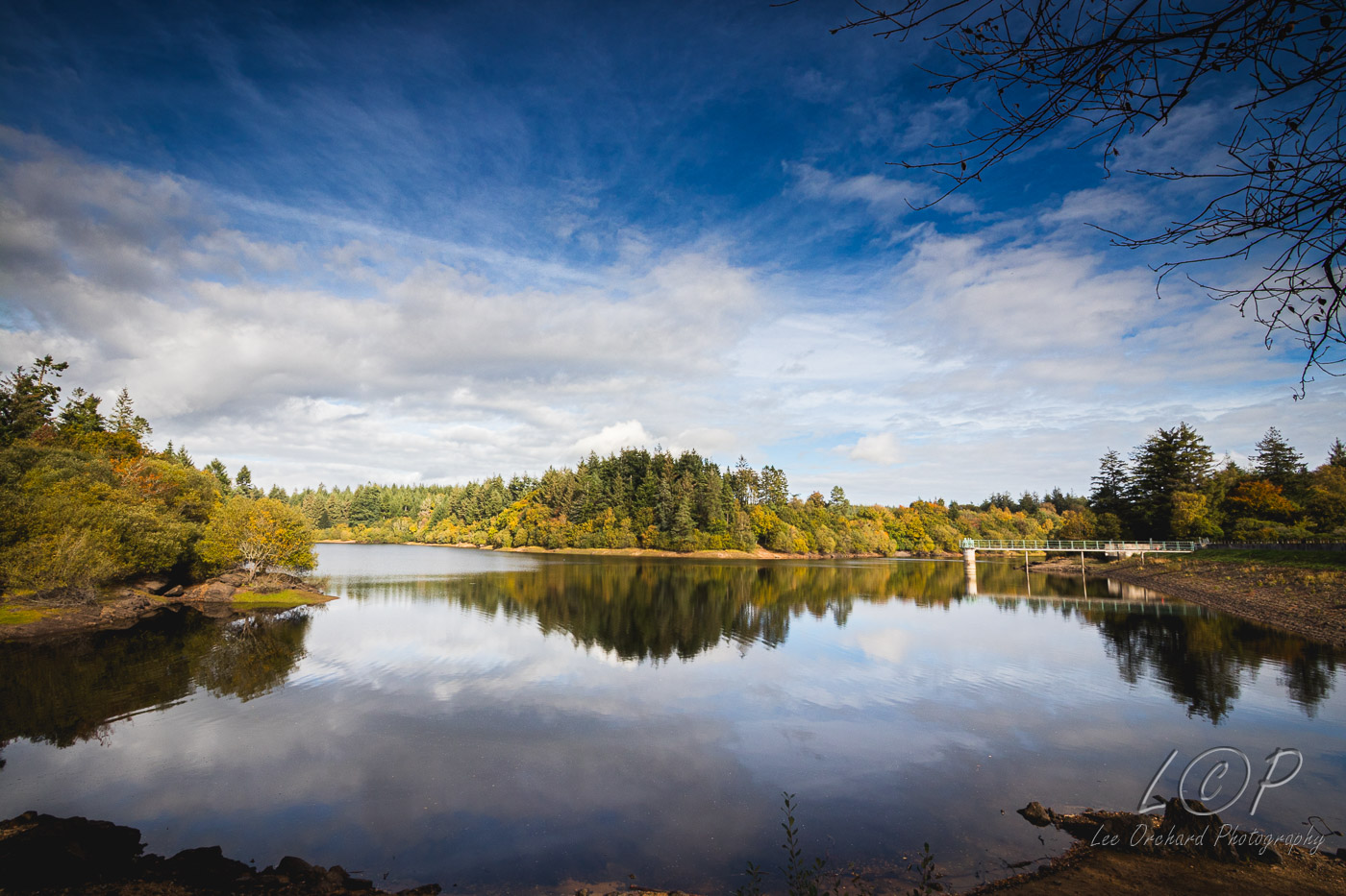
H22 615 886 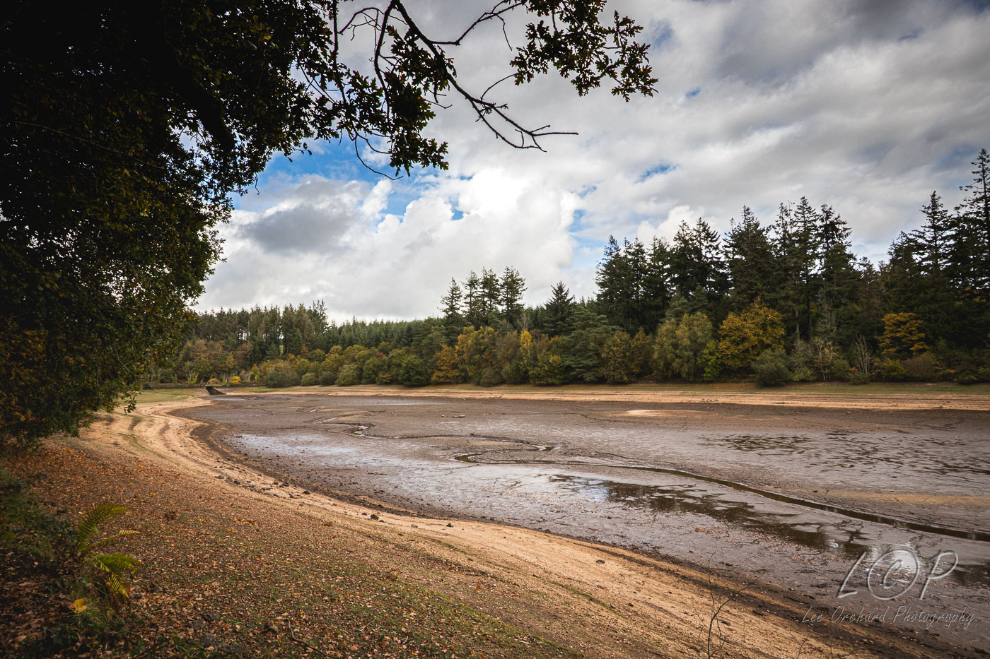
H23 615 886 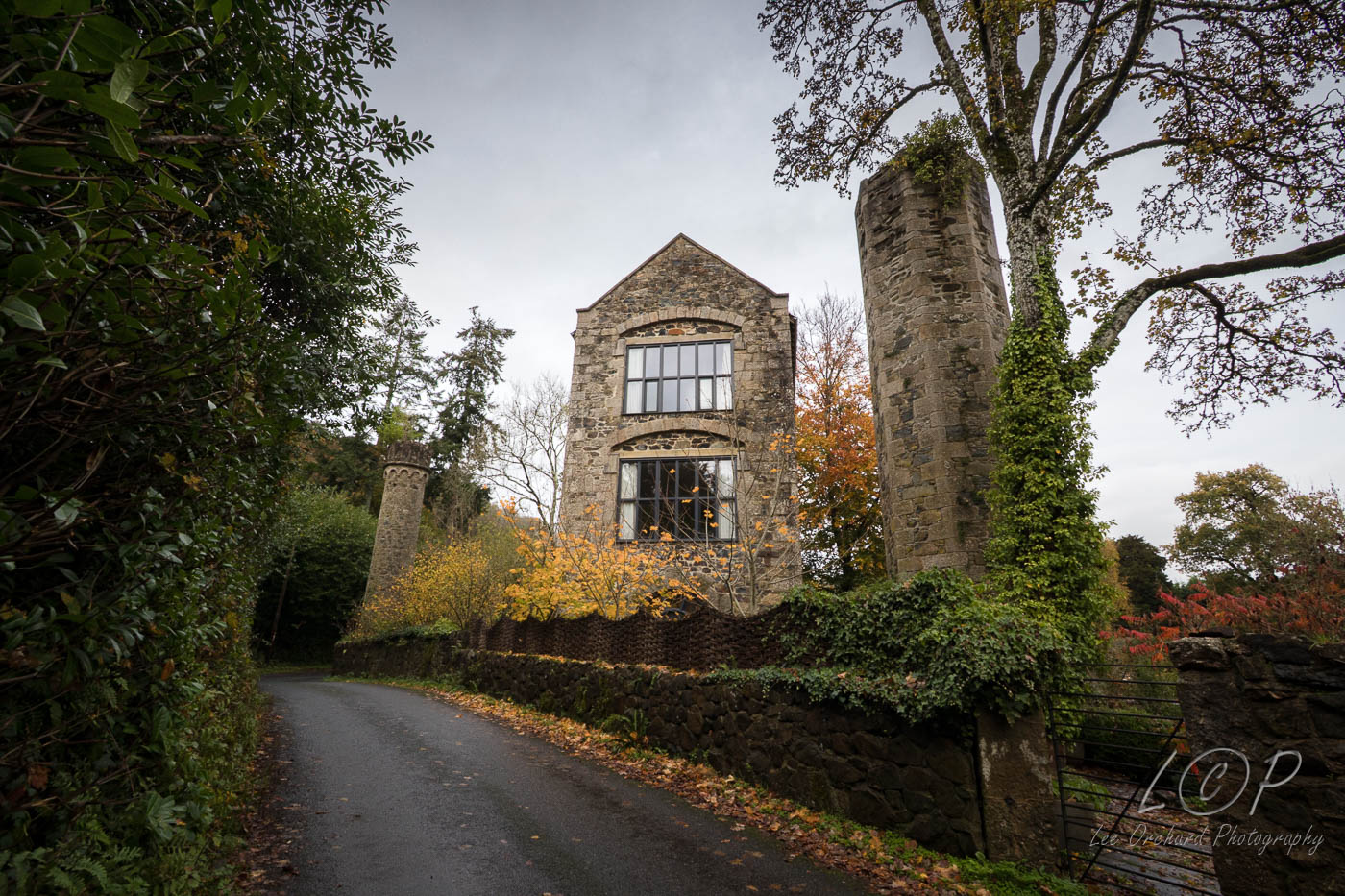
Tap to Hide
I
Squares I
I1 615 886 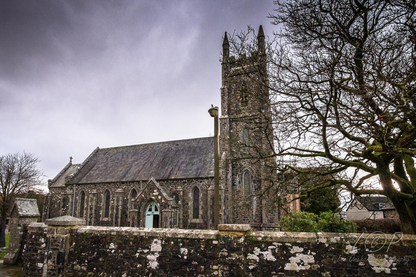
I2 615 886 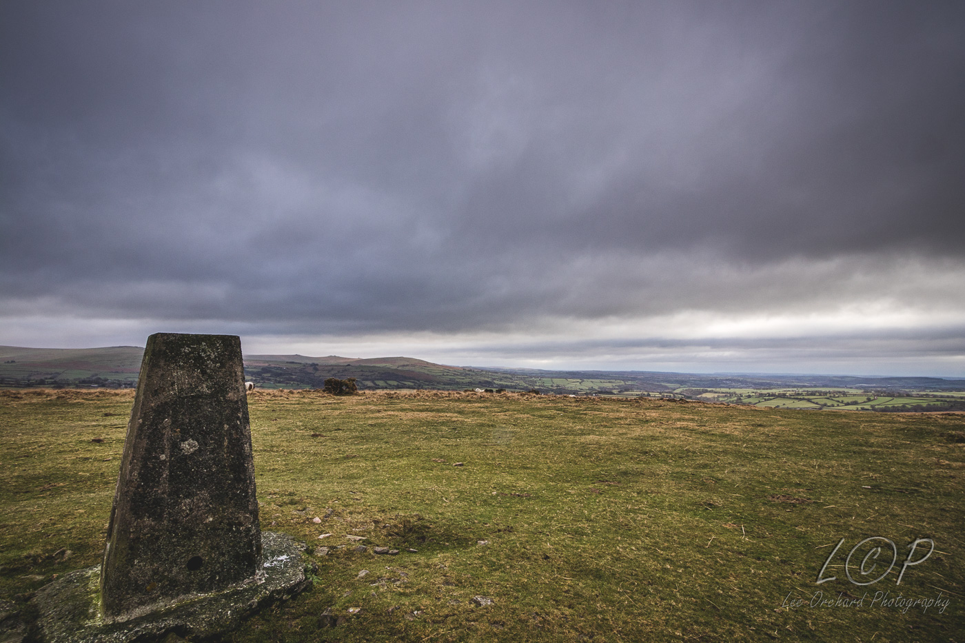
I3 615 886 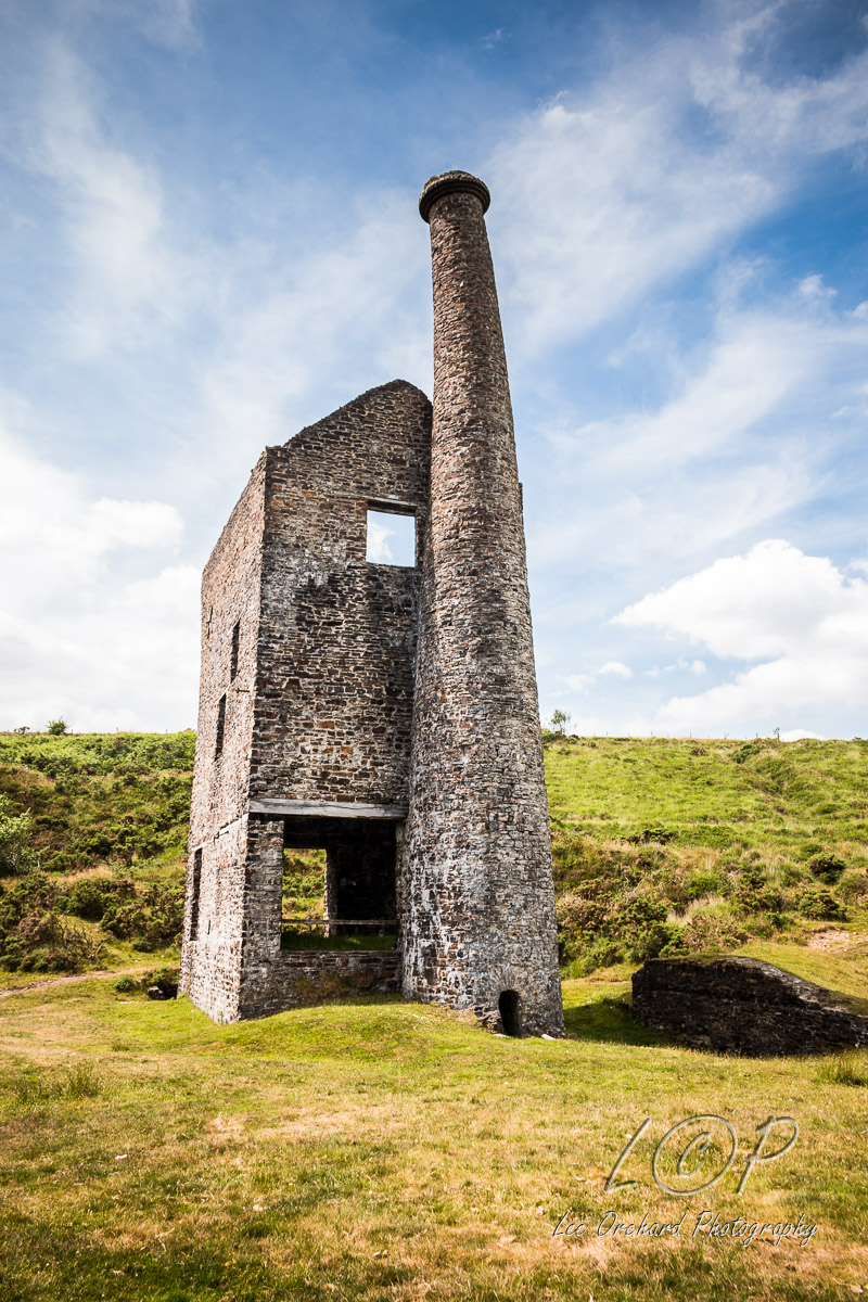
I4 534 589 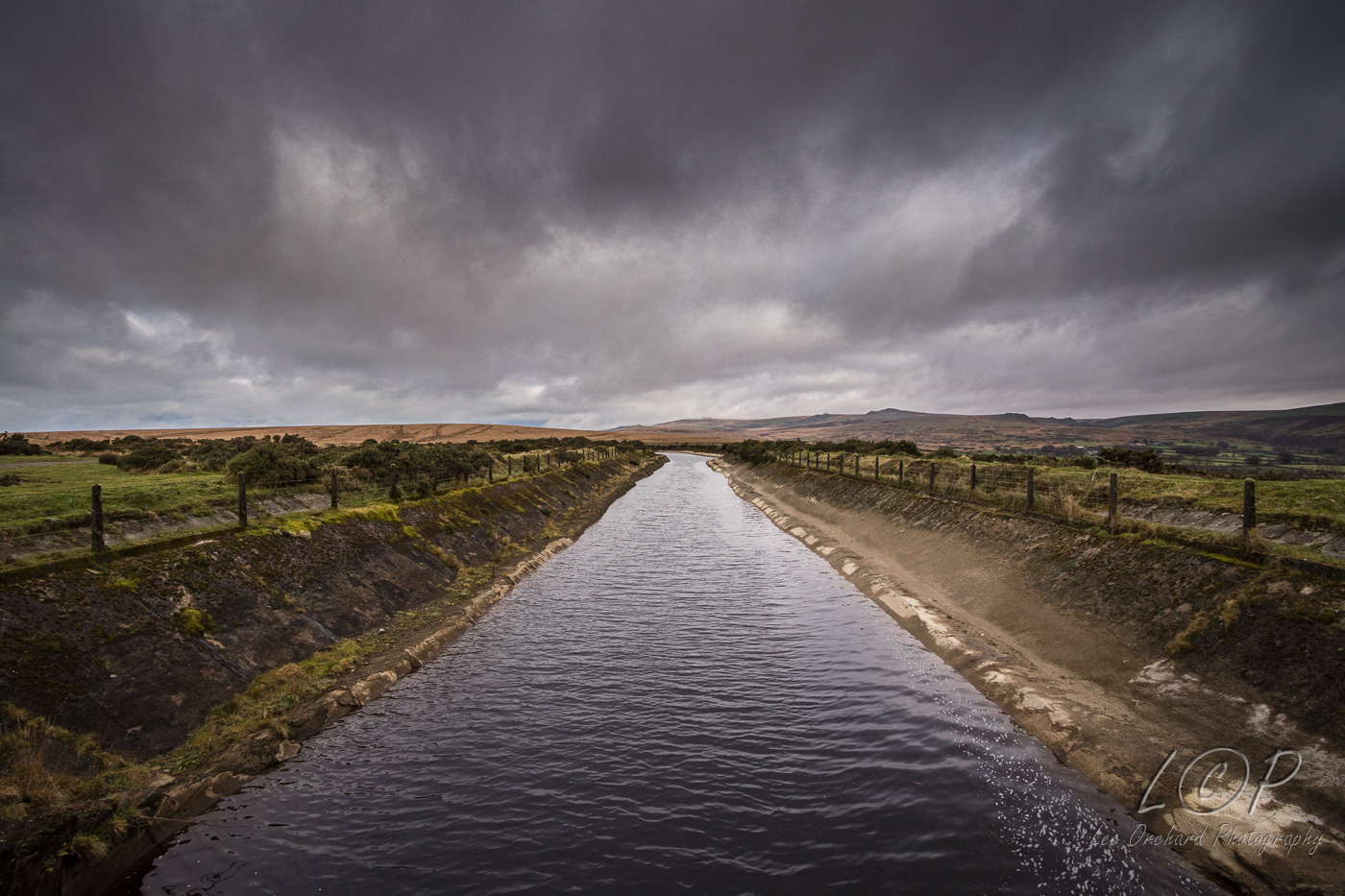
I5 546 887 
I6 555 883 
I7 579 875 
I8 586 881 
I9 615 886 
I10 623 876 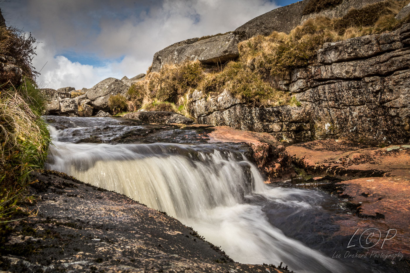
I11 648 7 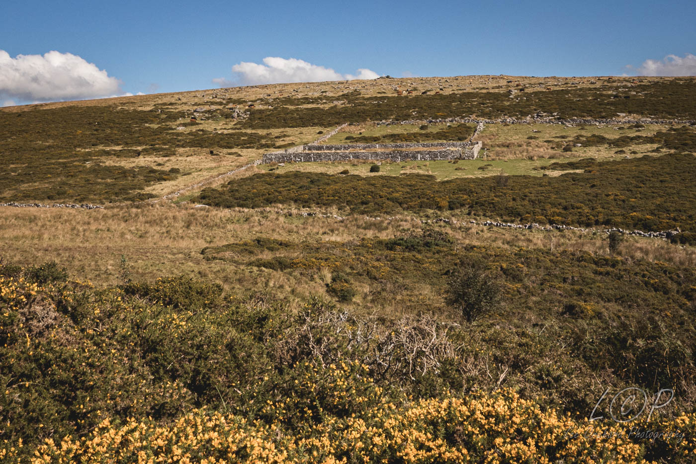
I12 615 886 
I13 615 886 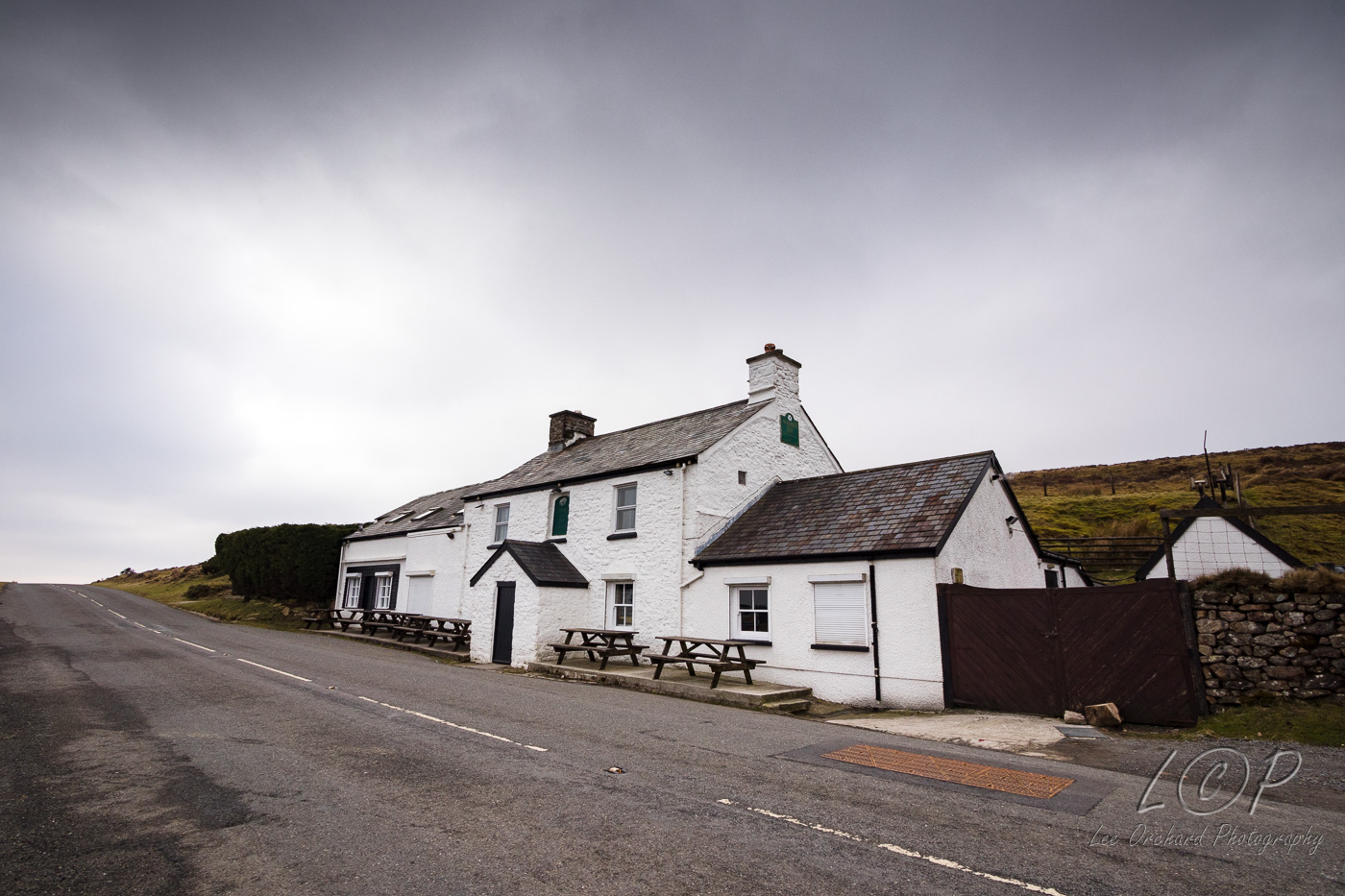
I14 615 886 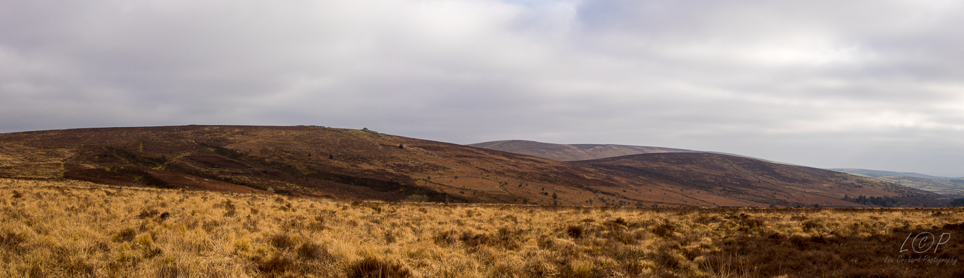
I15 615 886 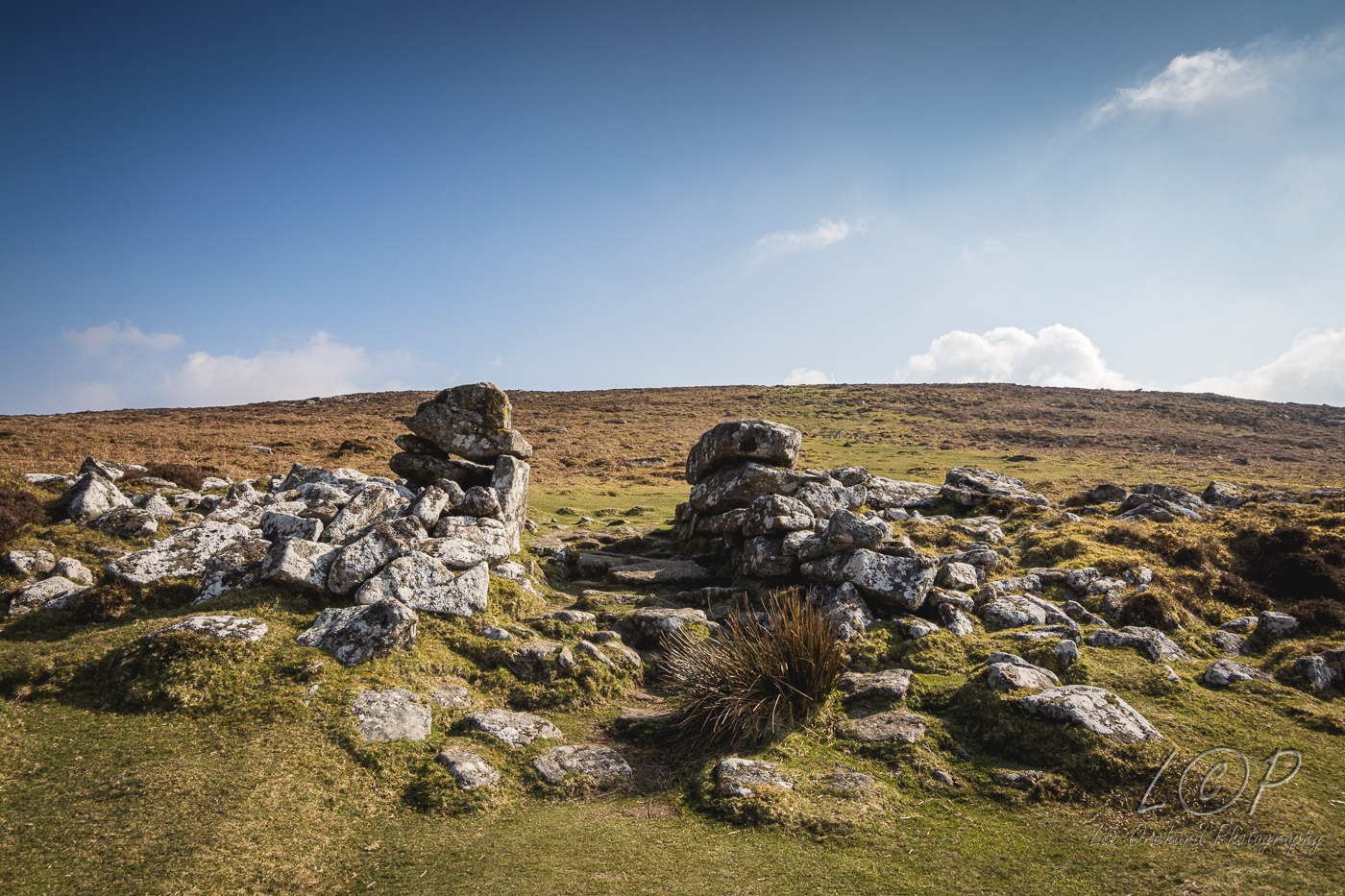
I16 615 886 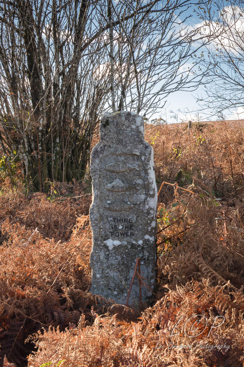
I17 615 886 
I18 615 886 
I19 615 886 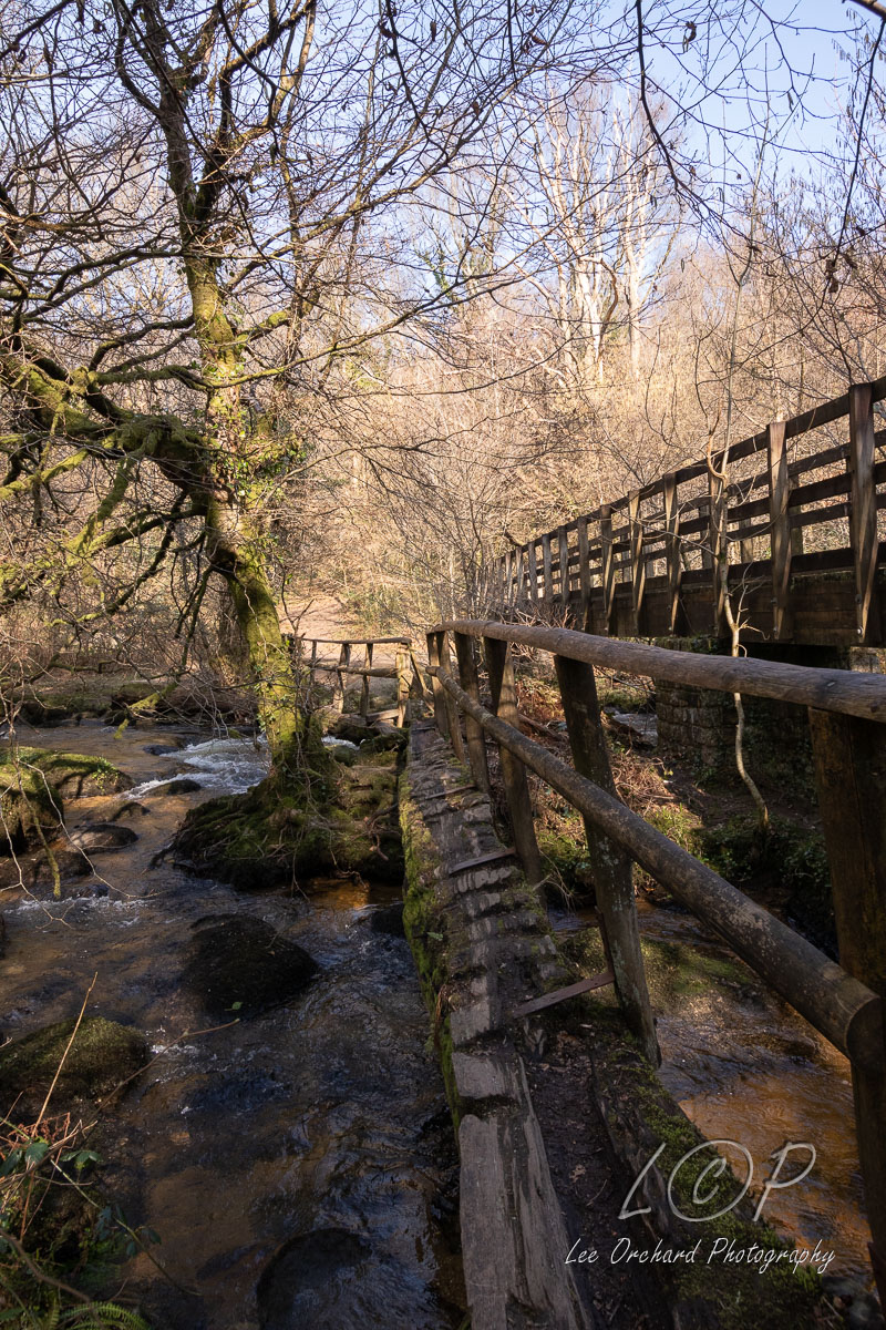
I20 615 886 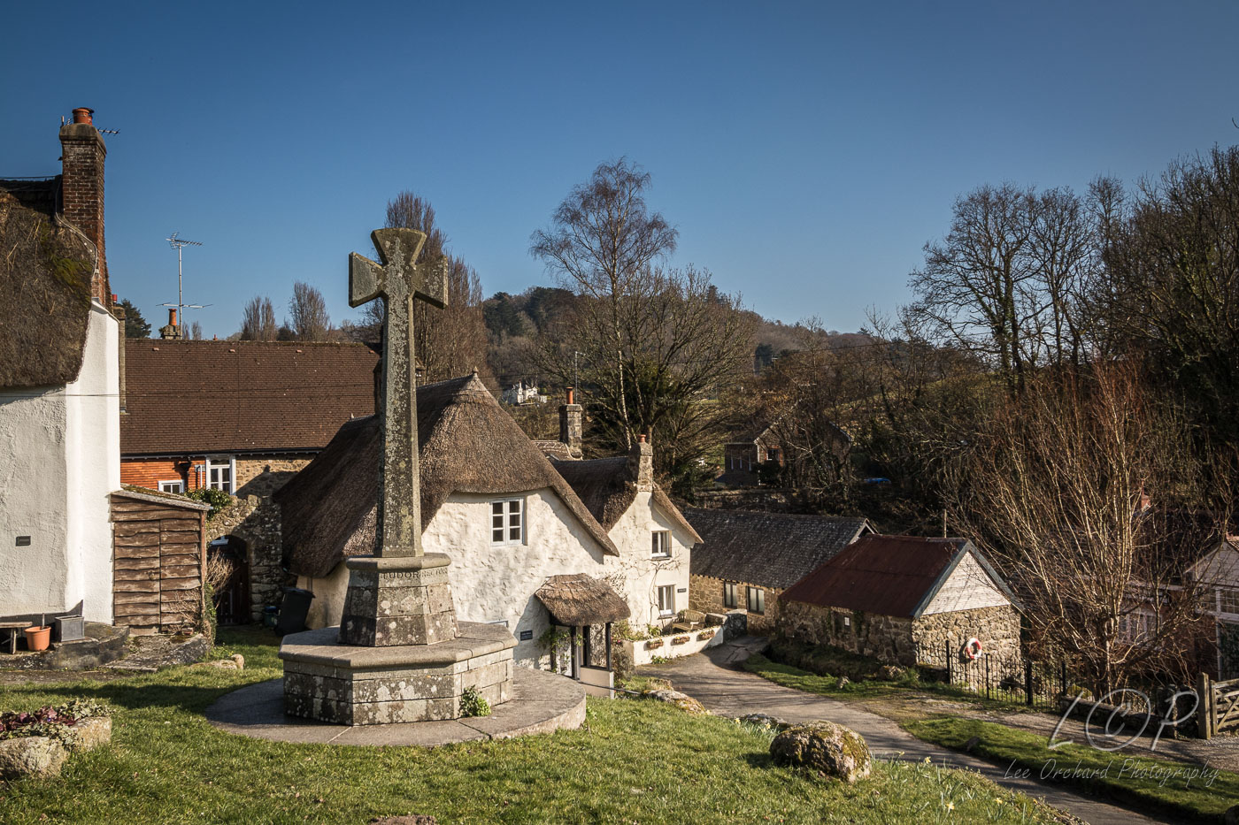
I21 615 886
I22 615 886
I23 615 886
Tap to Hide
J
Squares J1 - J20
J1 615 886 
J2 615 886 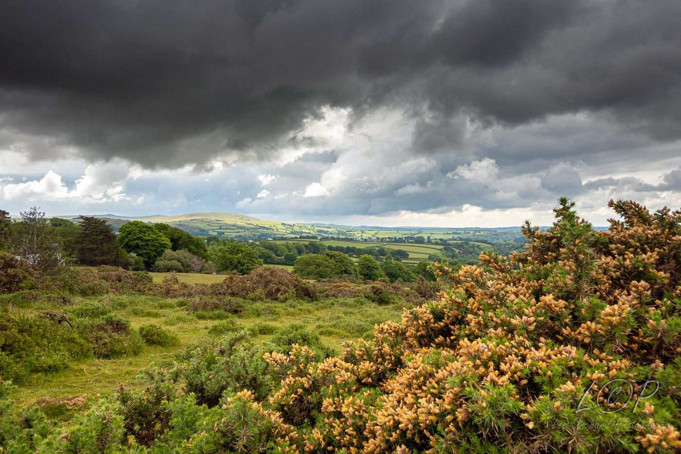
J3 615 886 
J4 534 589 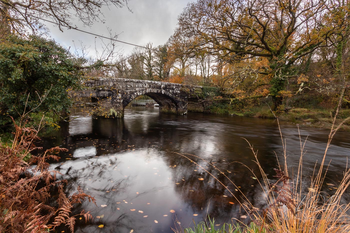
J5 546 887 
J6 555 883 
J7 579 875 
J8 586 881 
J9 615 886 
J10 623 876 
J11 648 7xx 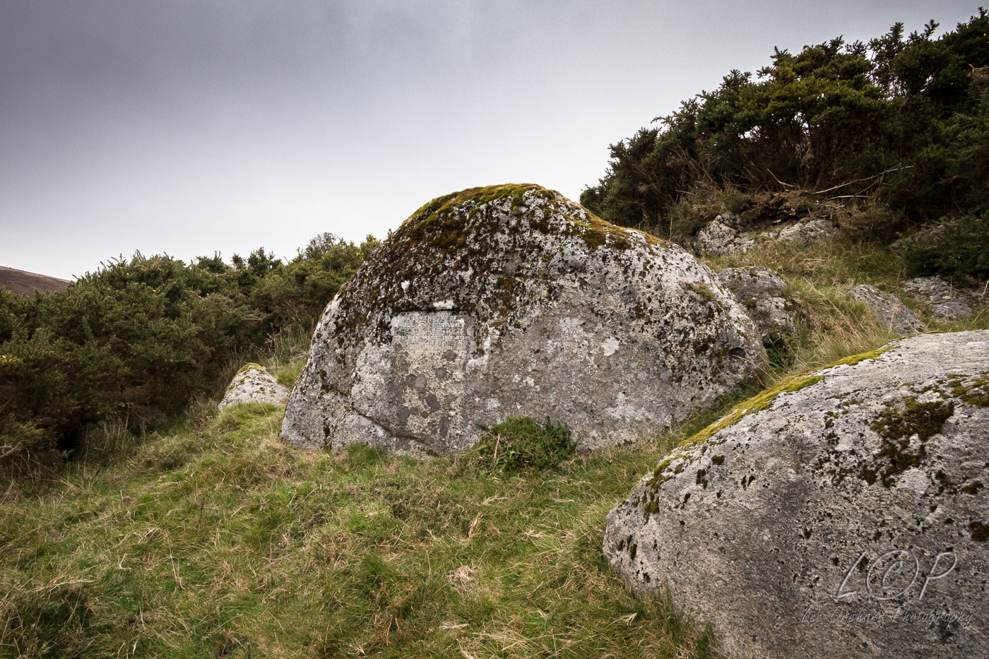
J12 615 886 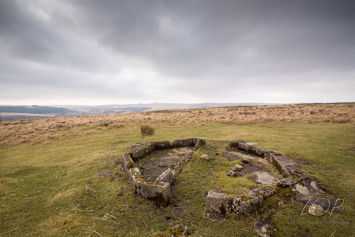
J13 615 886 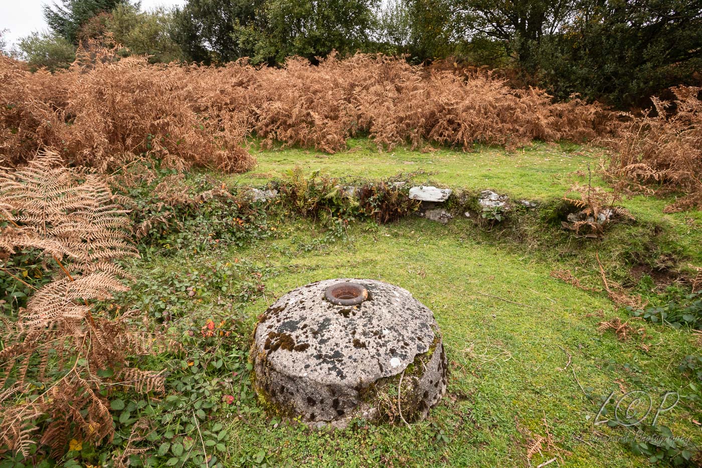
J14 615 886 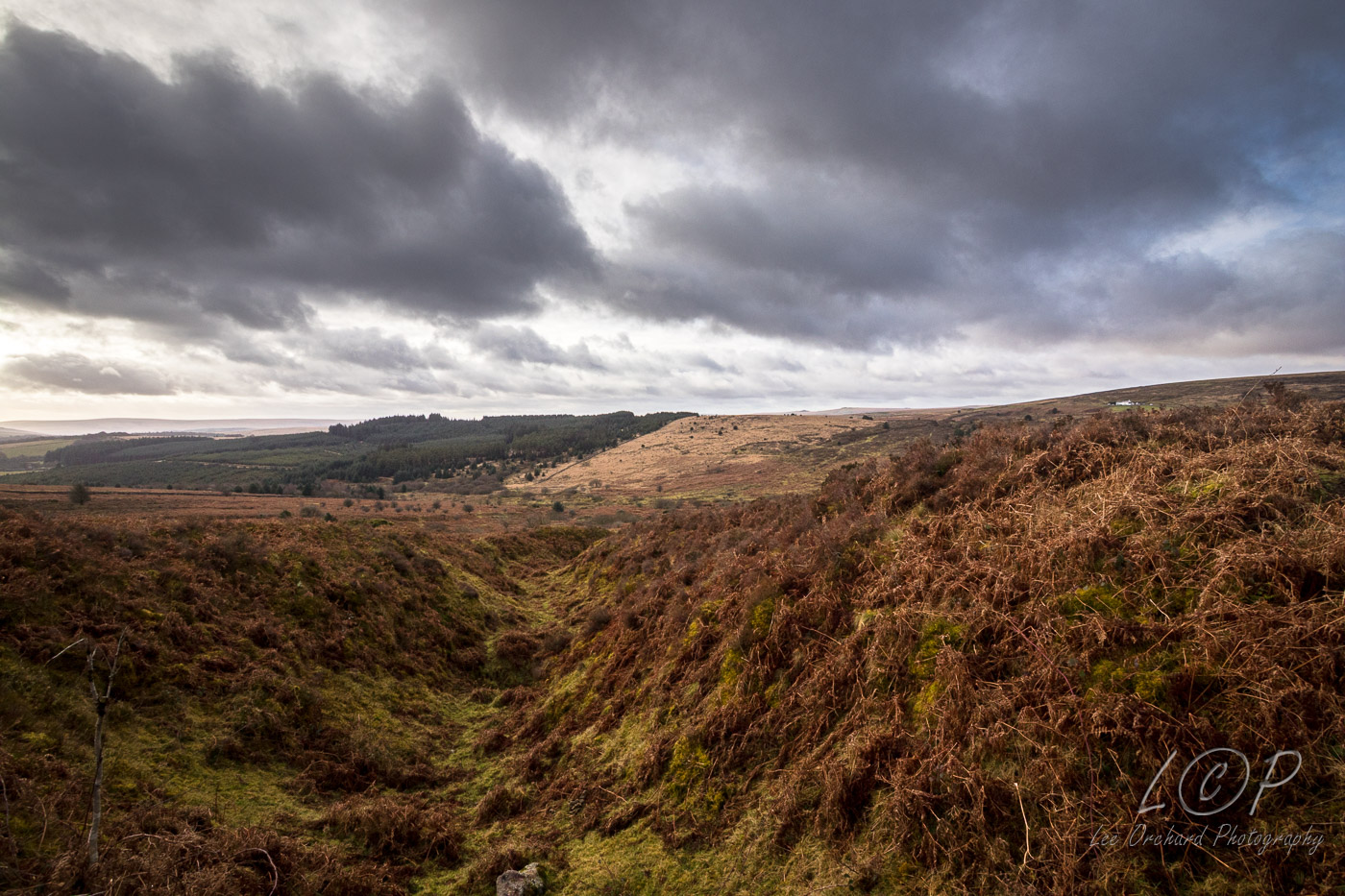
J15 615 886 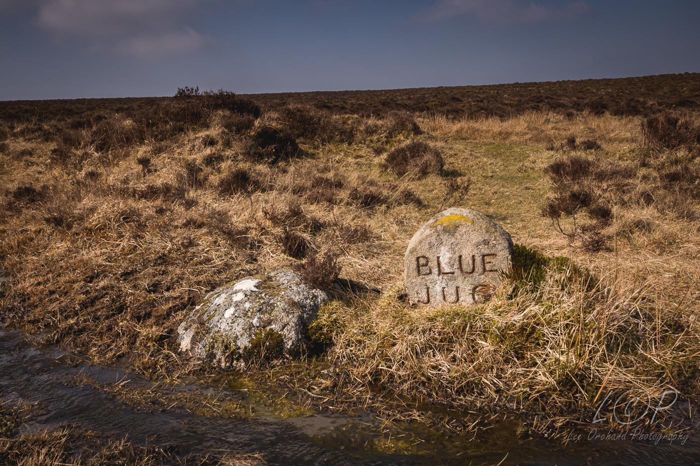
J16 615 886 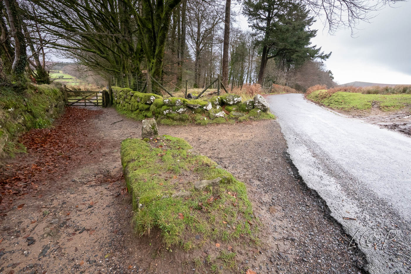
J17 615 886 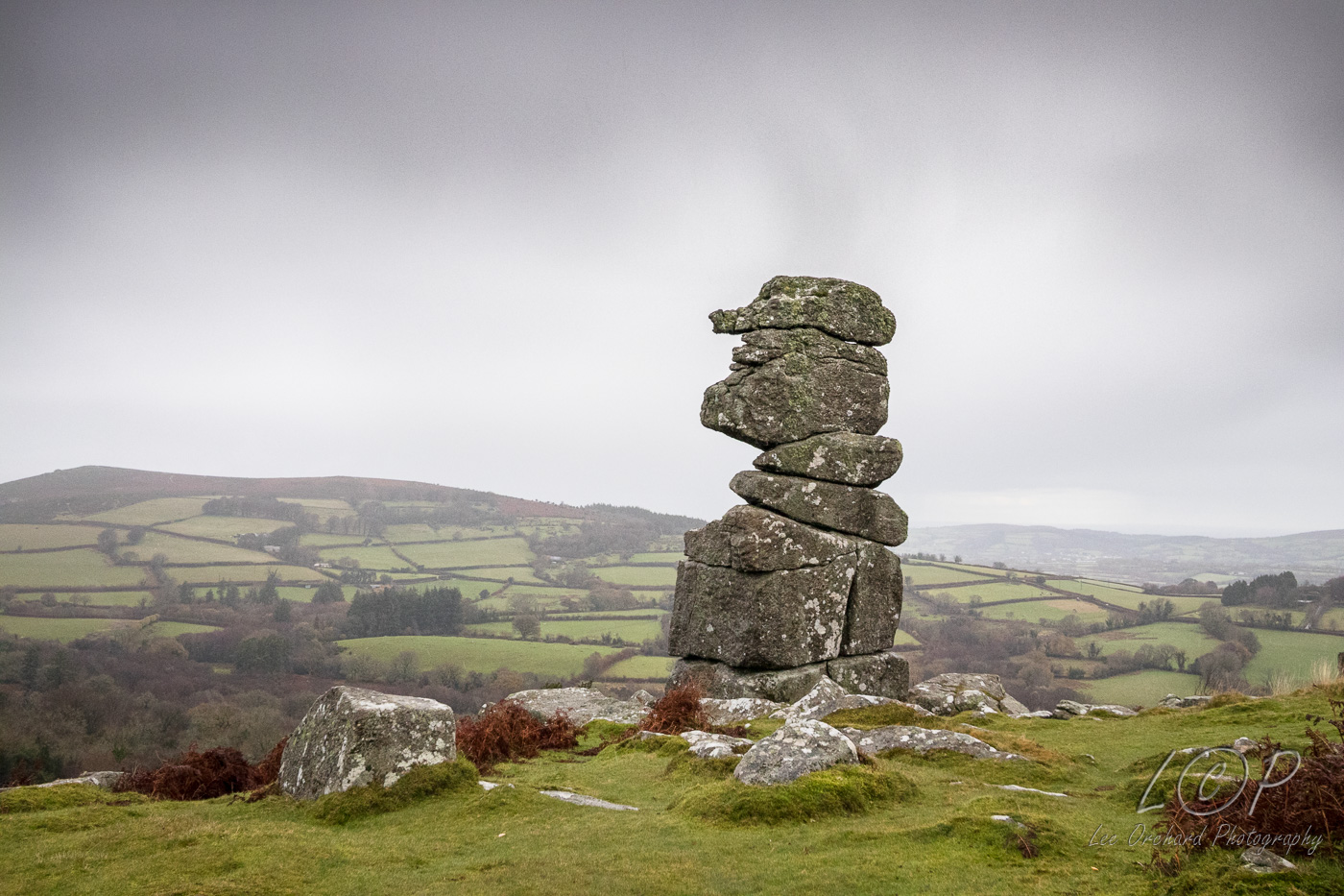
J18 615 886 
J19 615 886 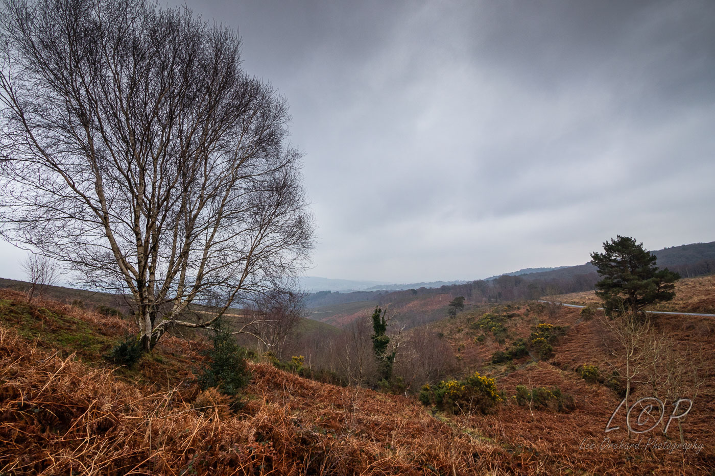
J20 615 886 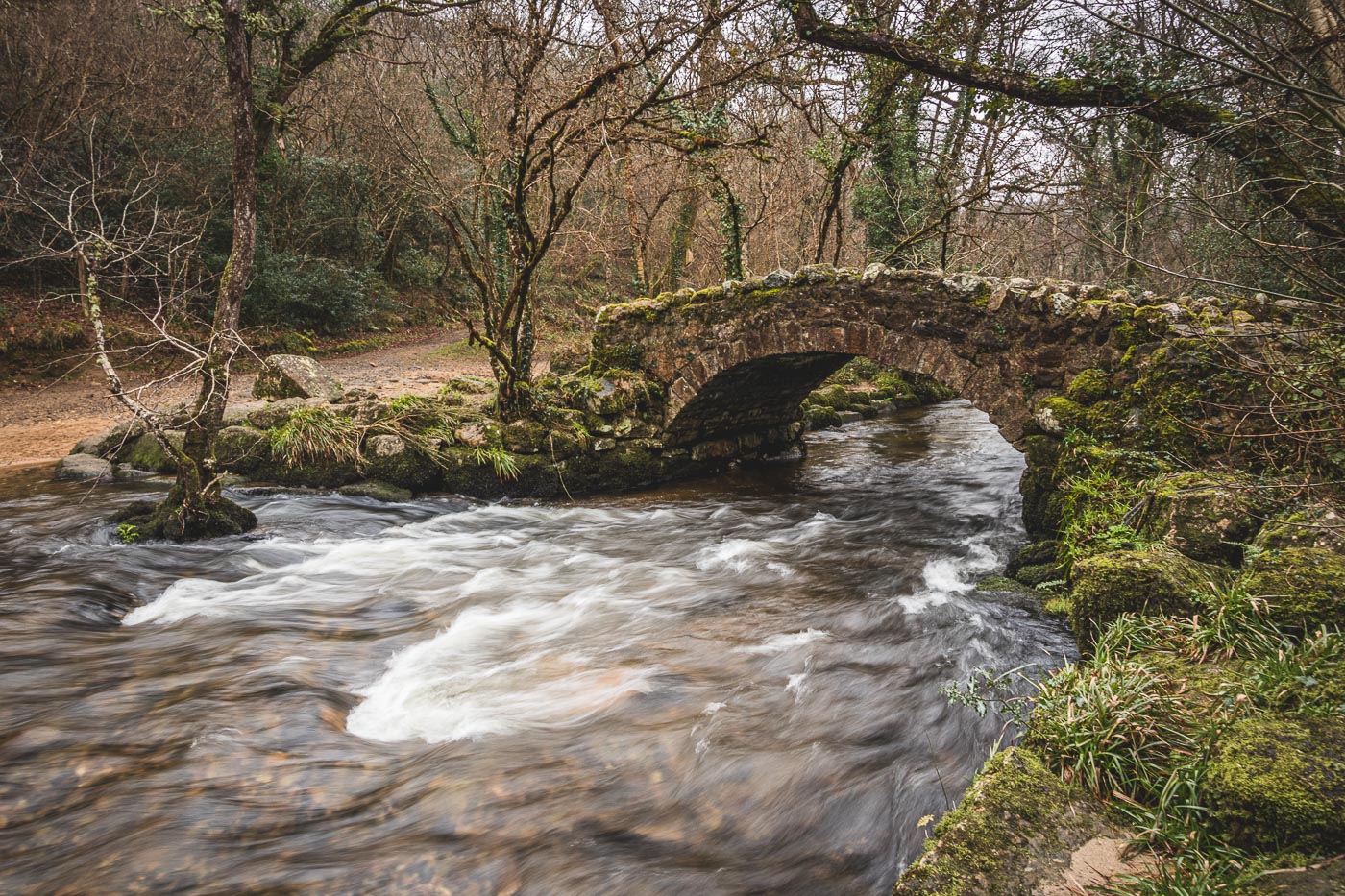
Tap to Hide
K
Squares K2 - K20
K2 Ferns 490 777 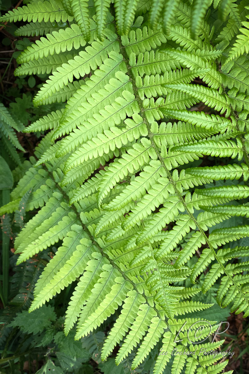
K3 Mary Tavy 509 787 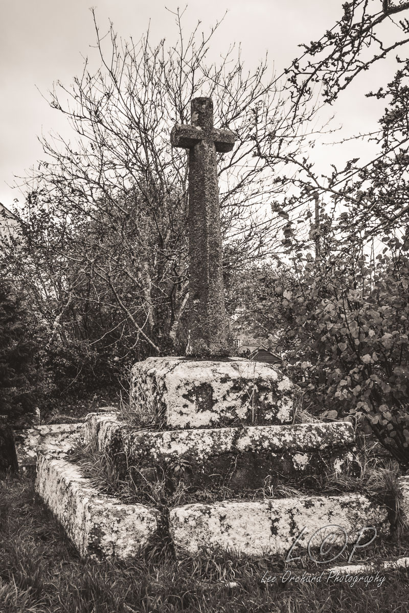
K4 Stephens Grave 536 681 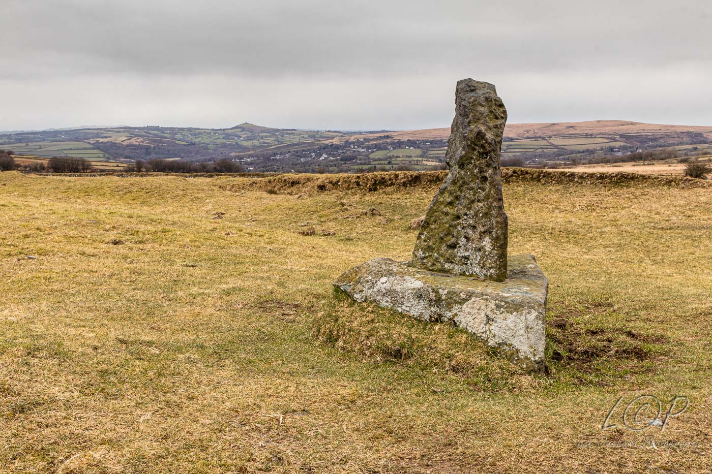
K5 The Langstone 550 787 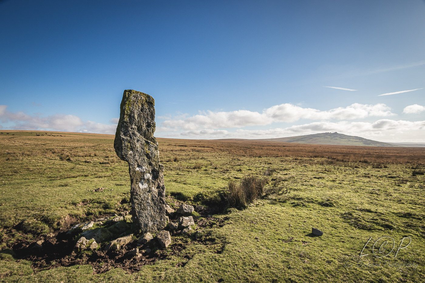
K6 Langstone Moor 556 779 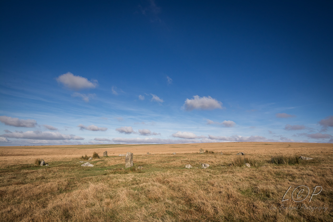
K7 579 875 
K8 586 881 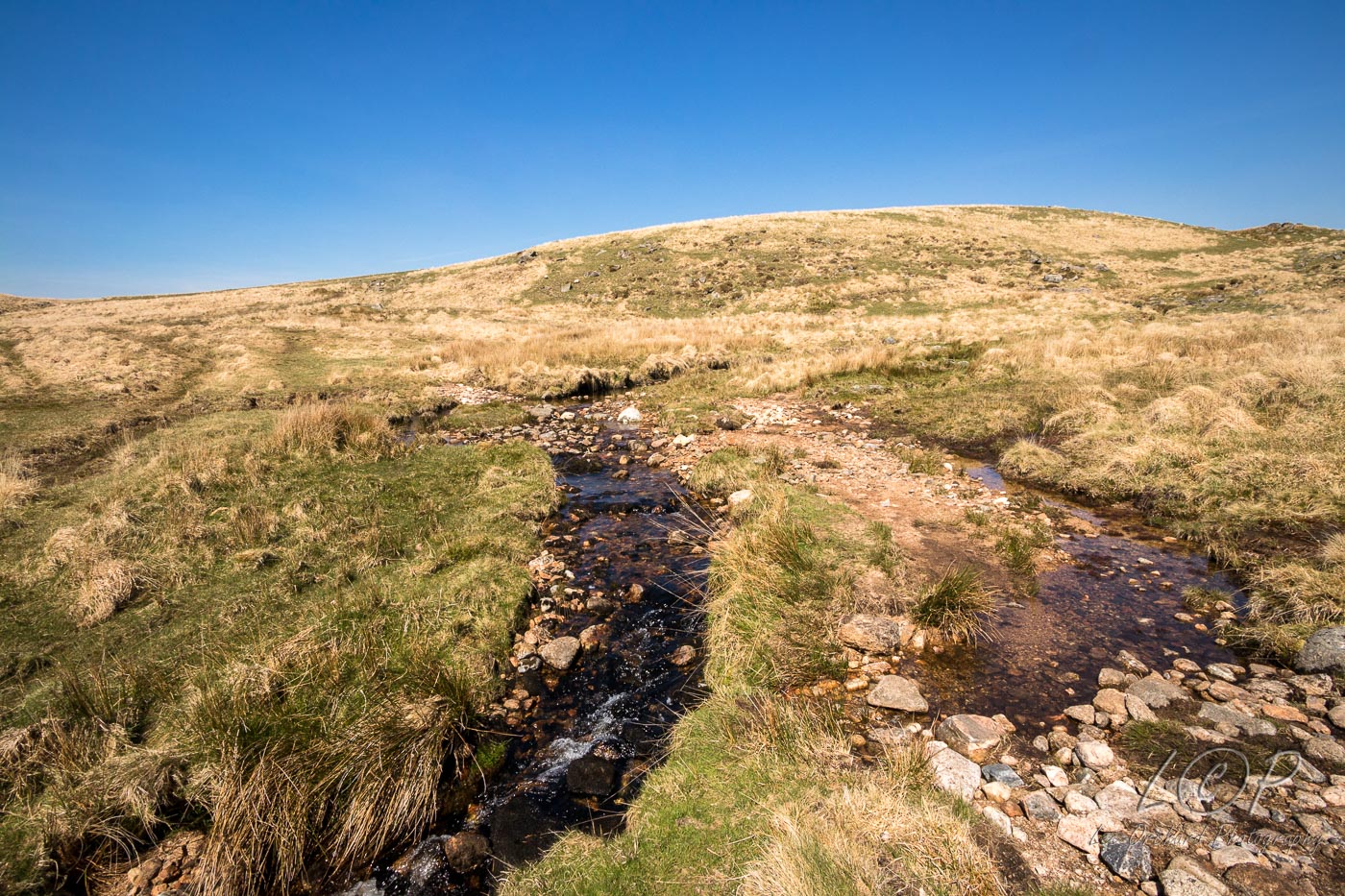
K9 615 886 
K10 623 876 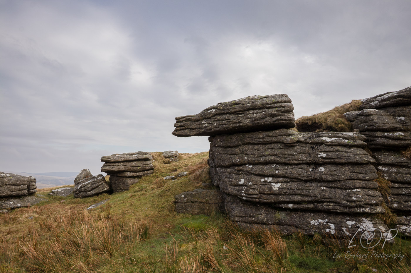
K11 648 7xx 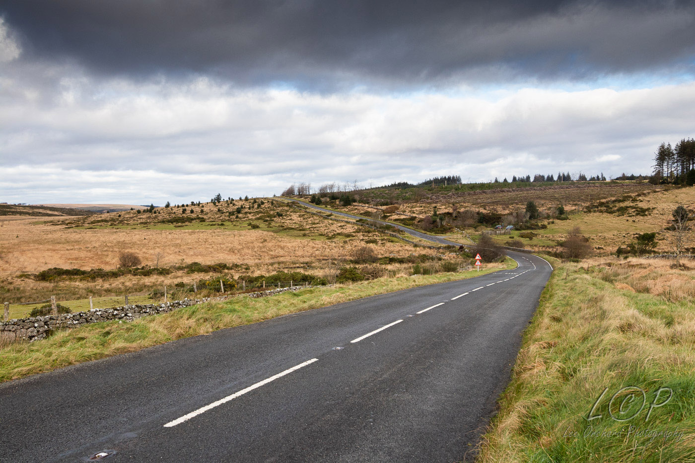
K12 615 886 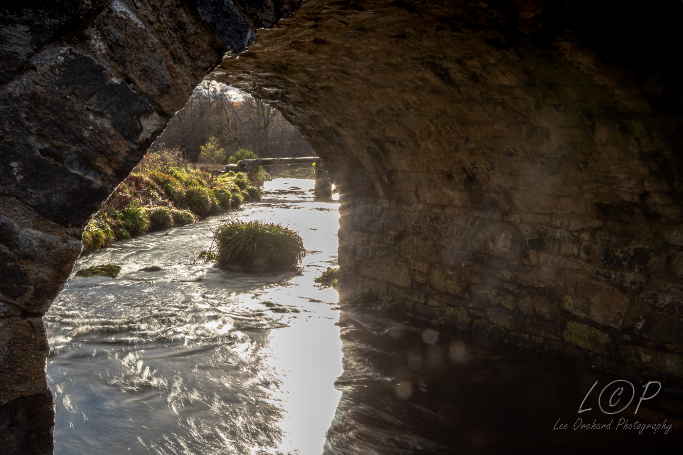
K13 615 886 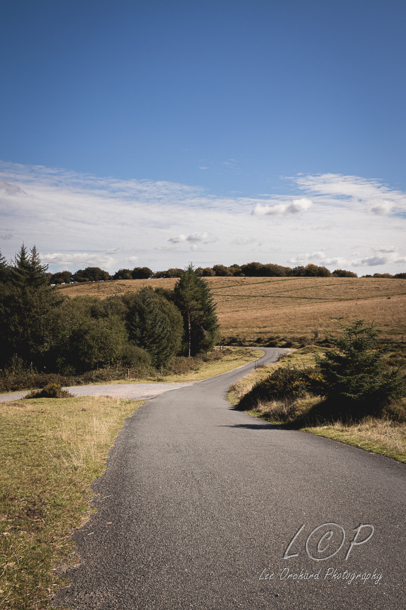
K14 615 886 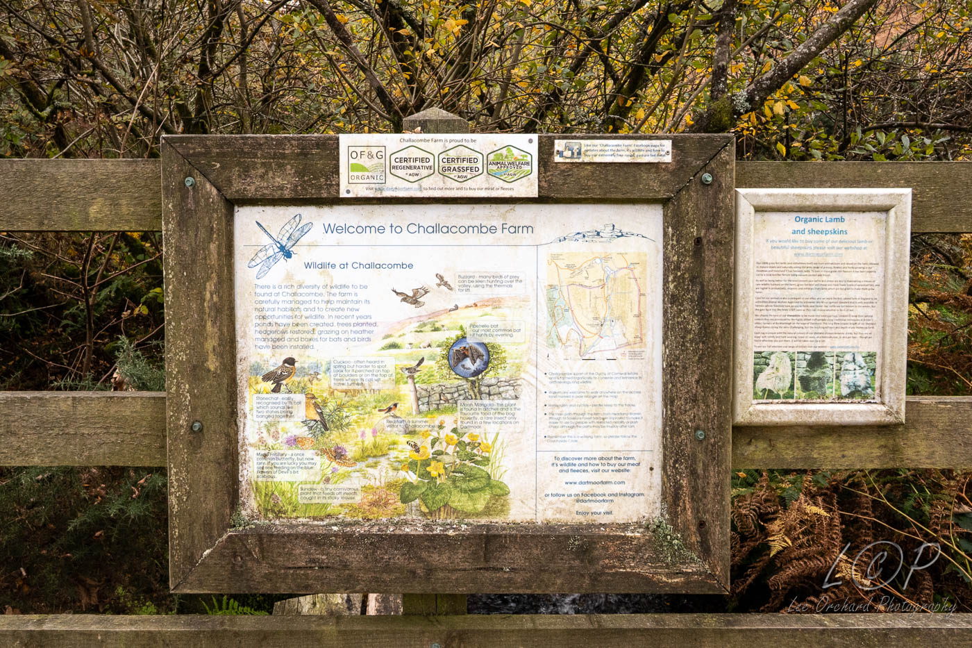
K15 615 886 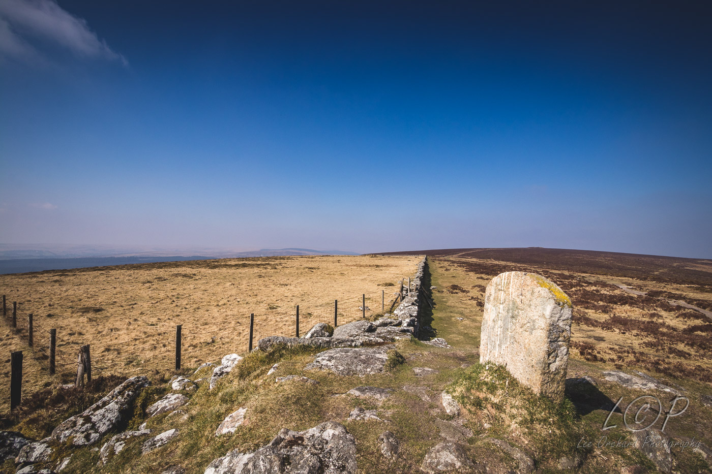
K16 615 886 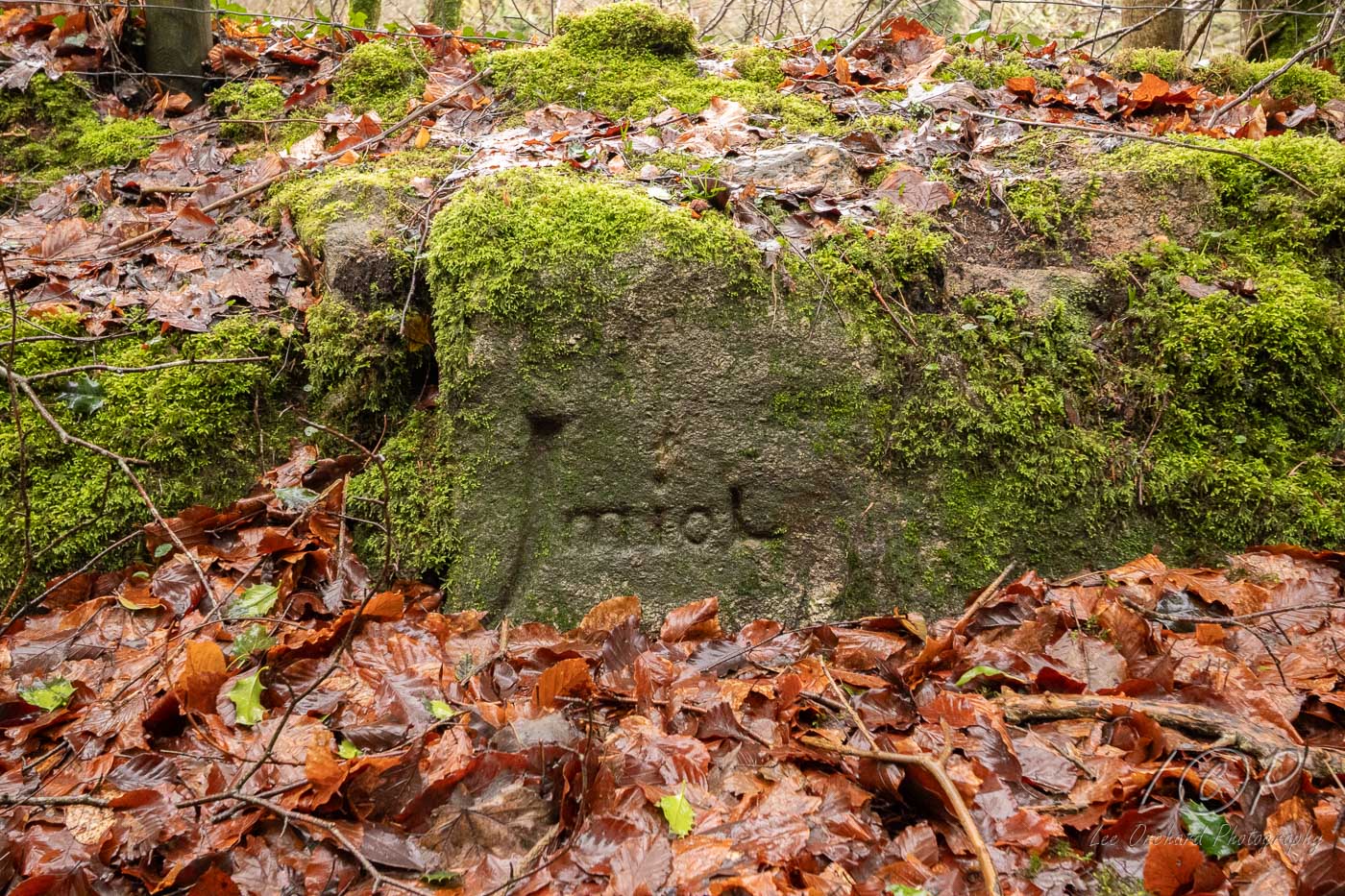
K17 615 886 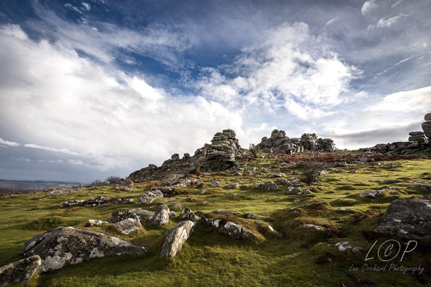
K18 615 886 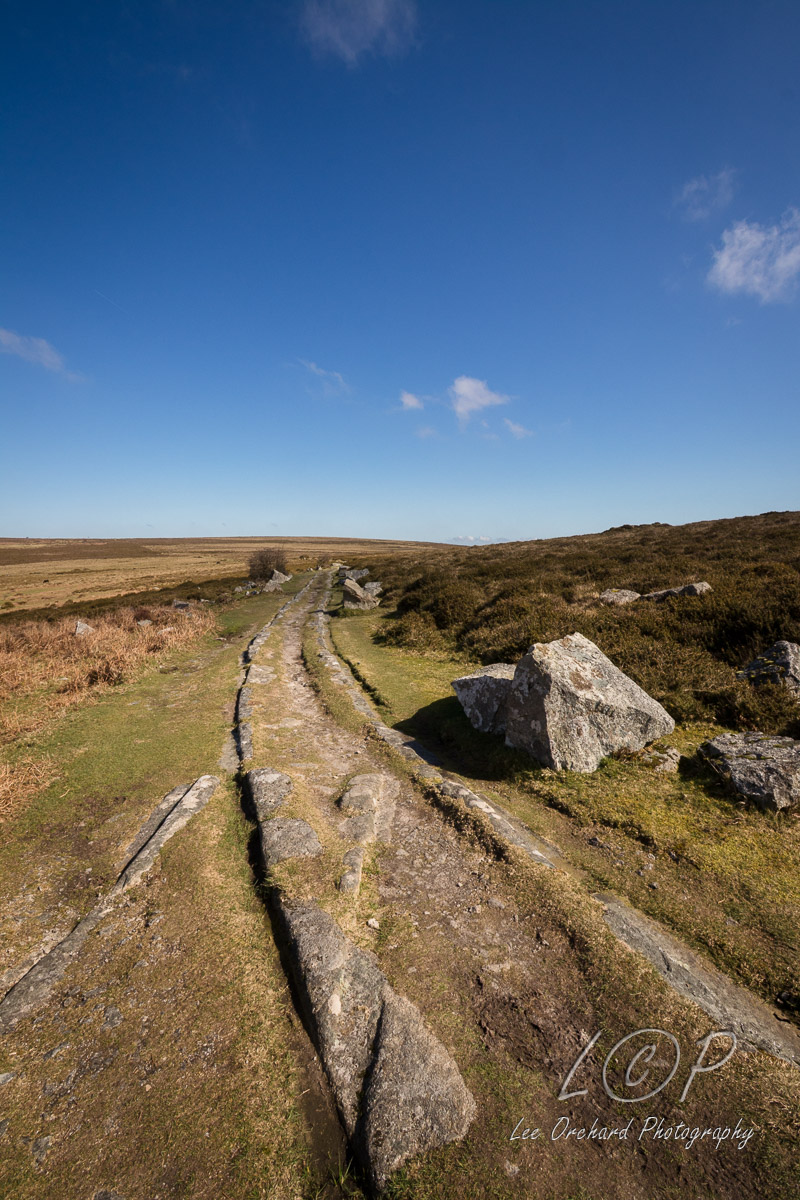
K19 615 886 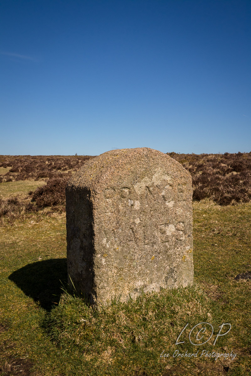
K20 615 886 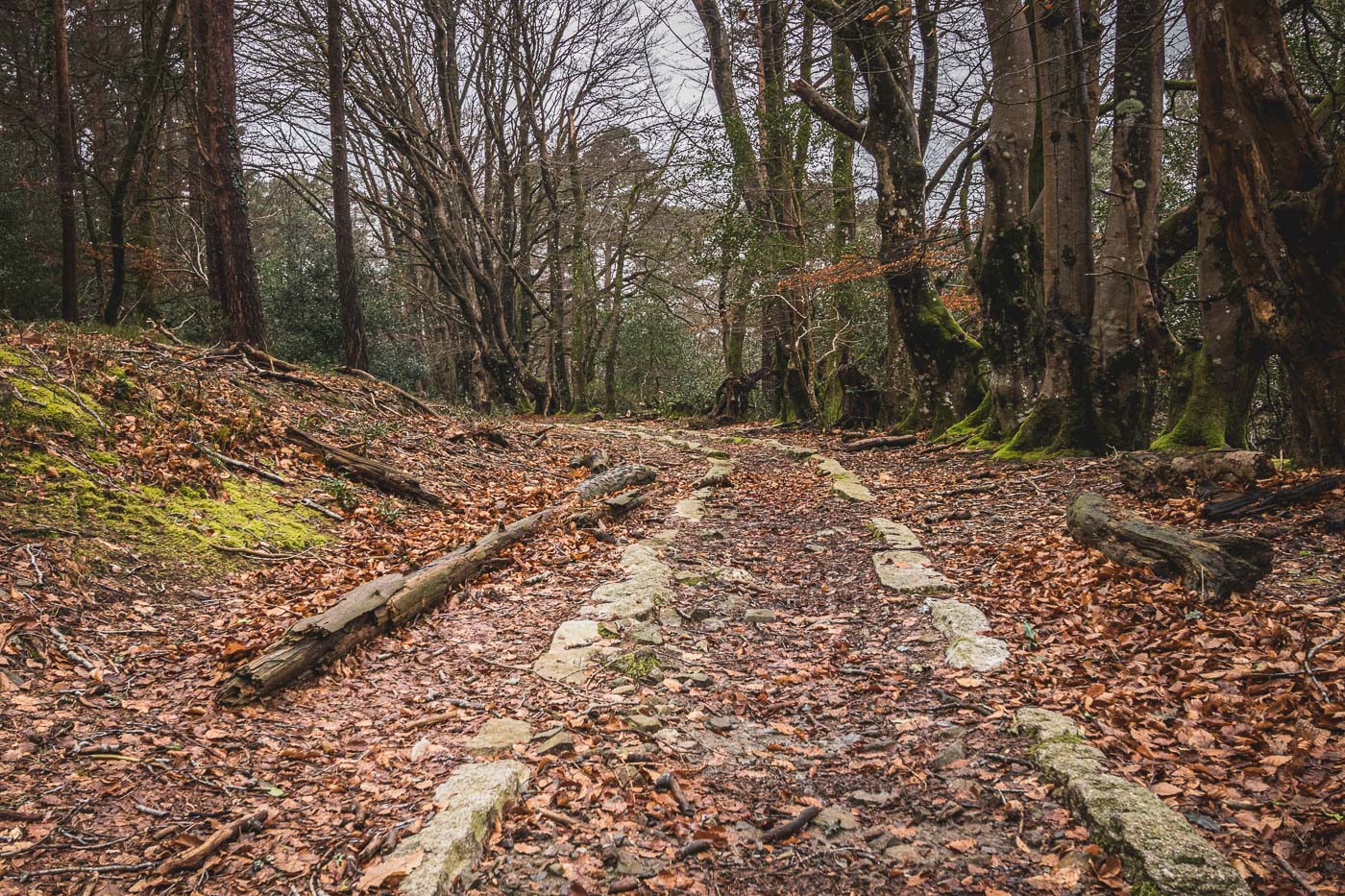
Tap to Hide
L
Squares L
L1 615 886 
L2 615 886 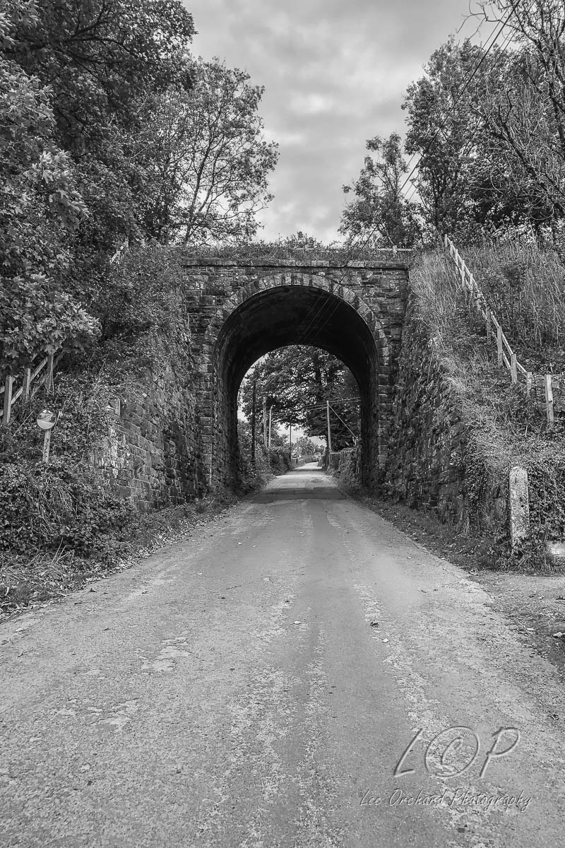
L3 615 886 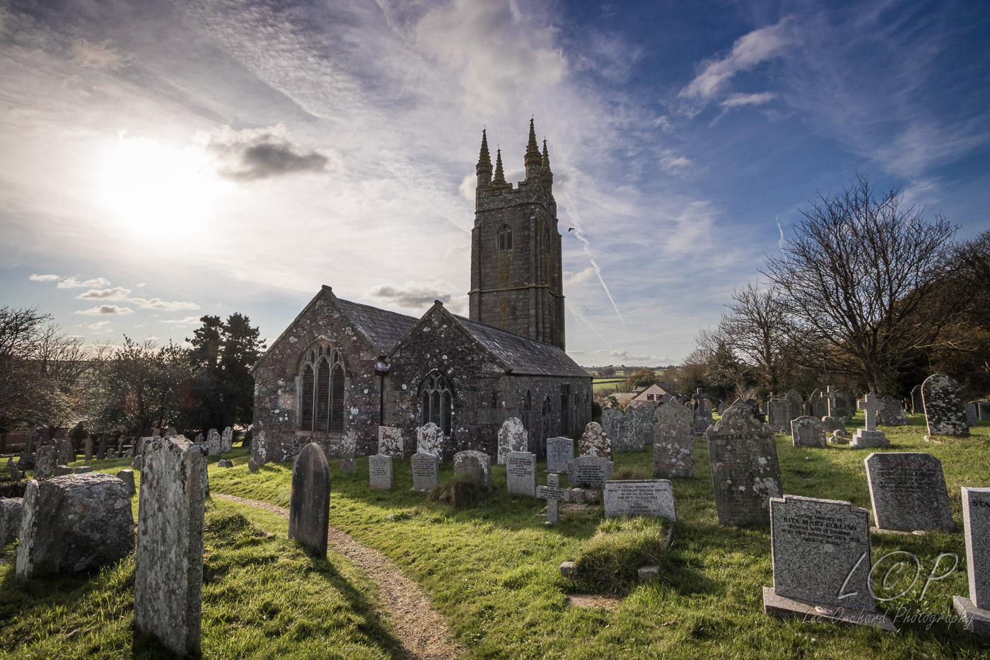
L4 534 589 
L5 546 887 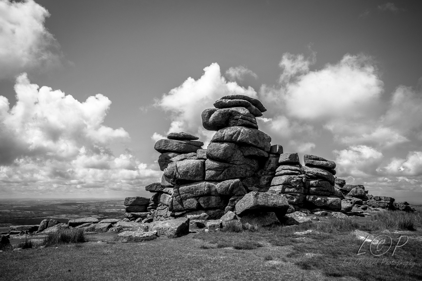
L6 555 883 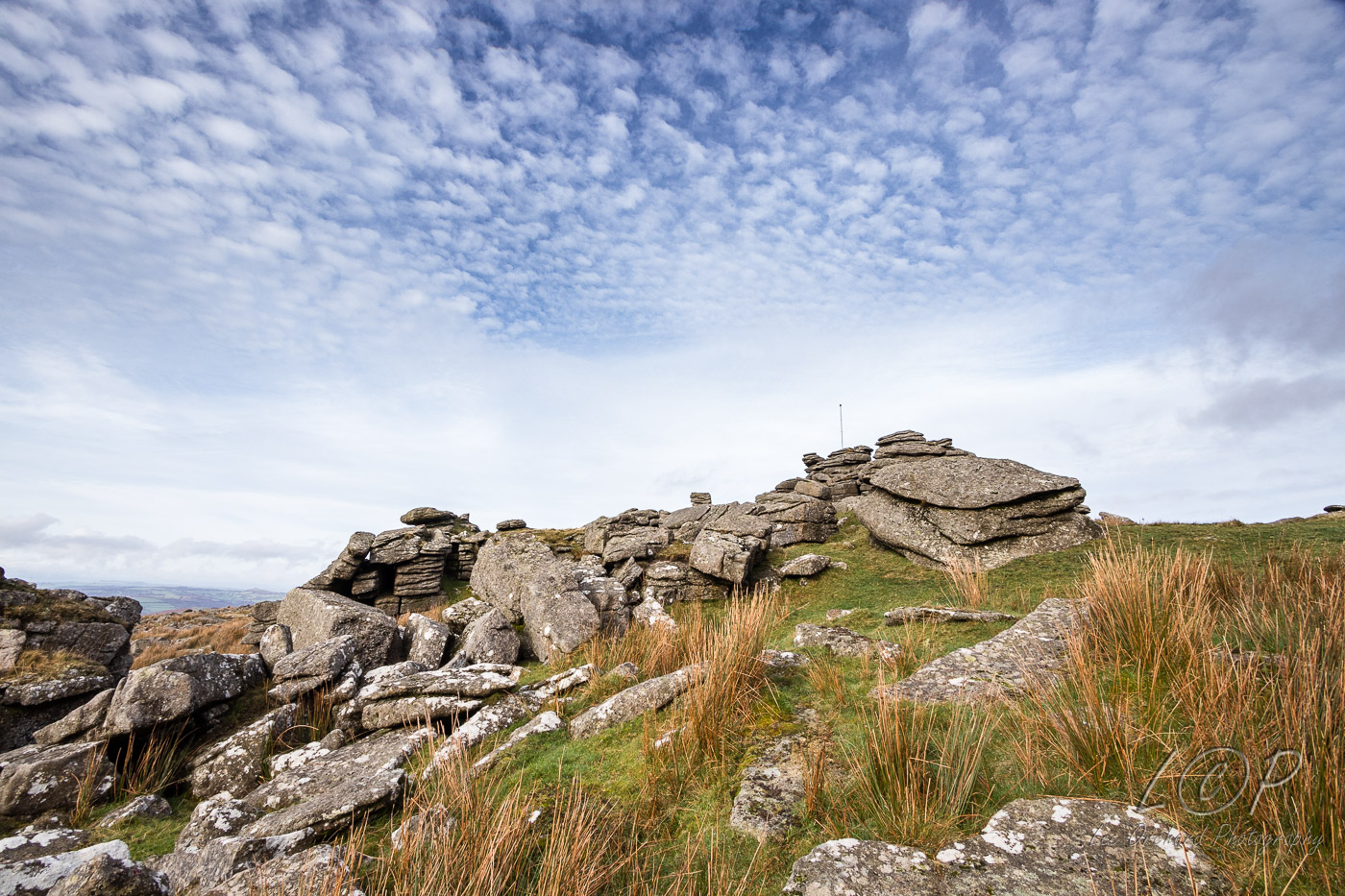
L7 579 875 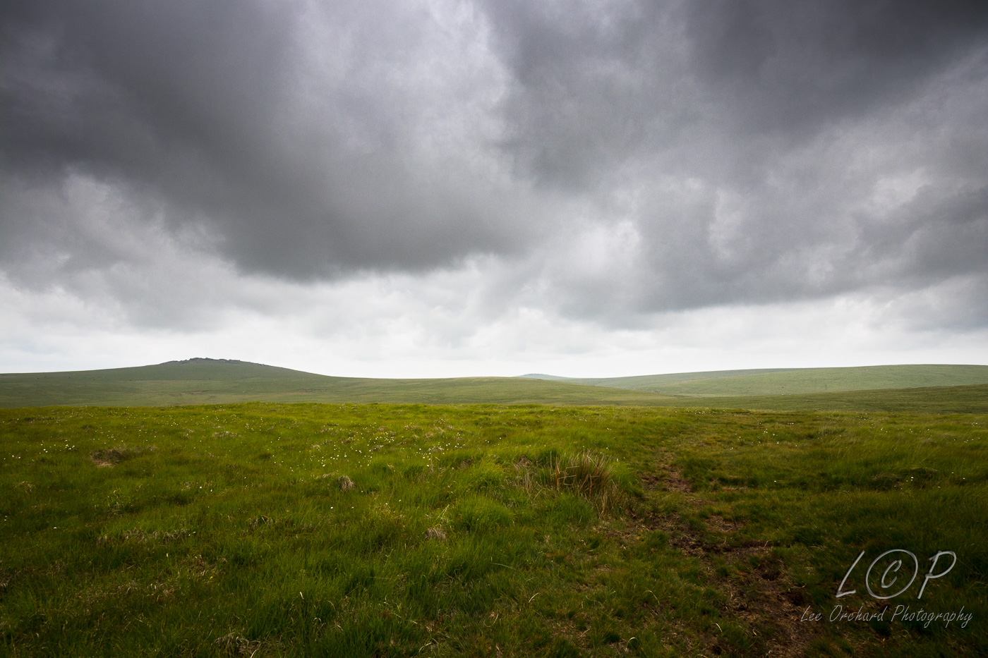
L8 586 881 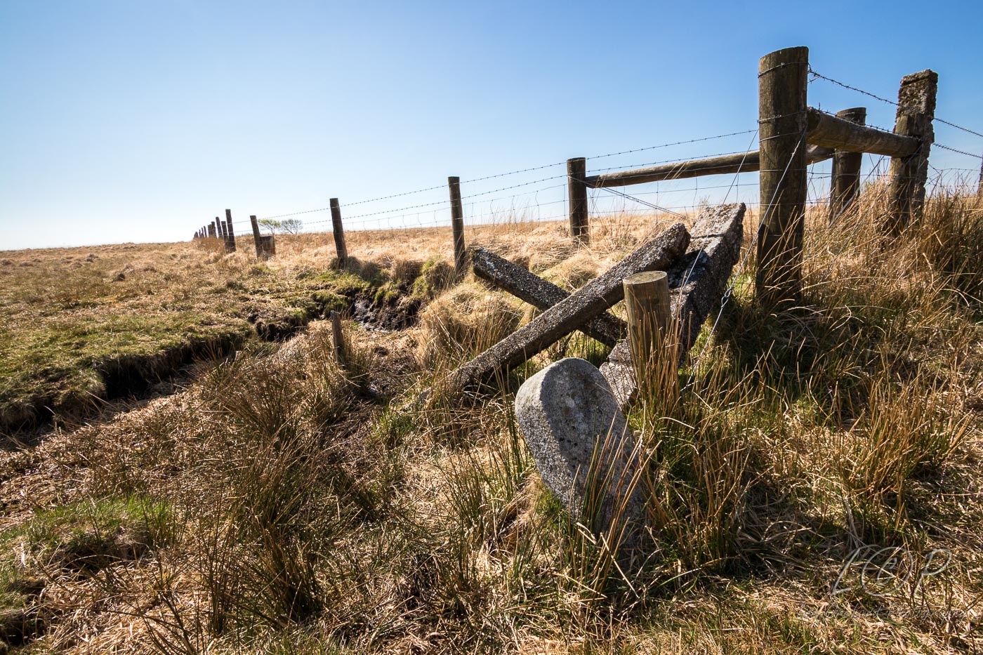
L9 615 886 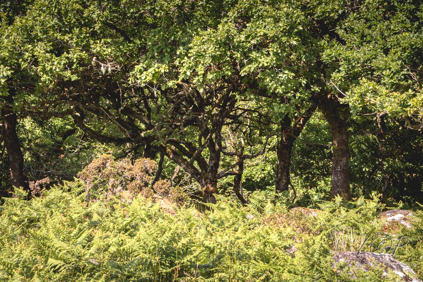
L10 623 876 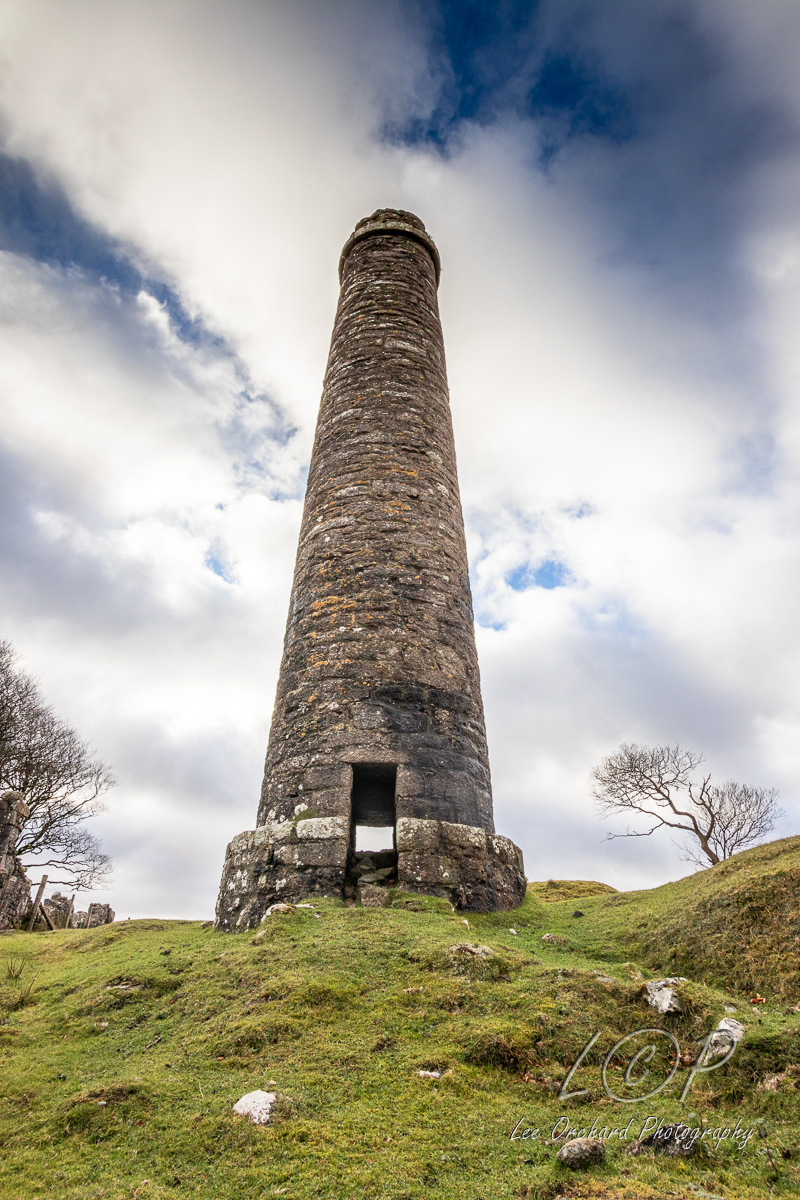
L11 648 7xx 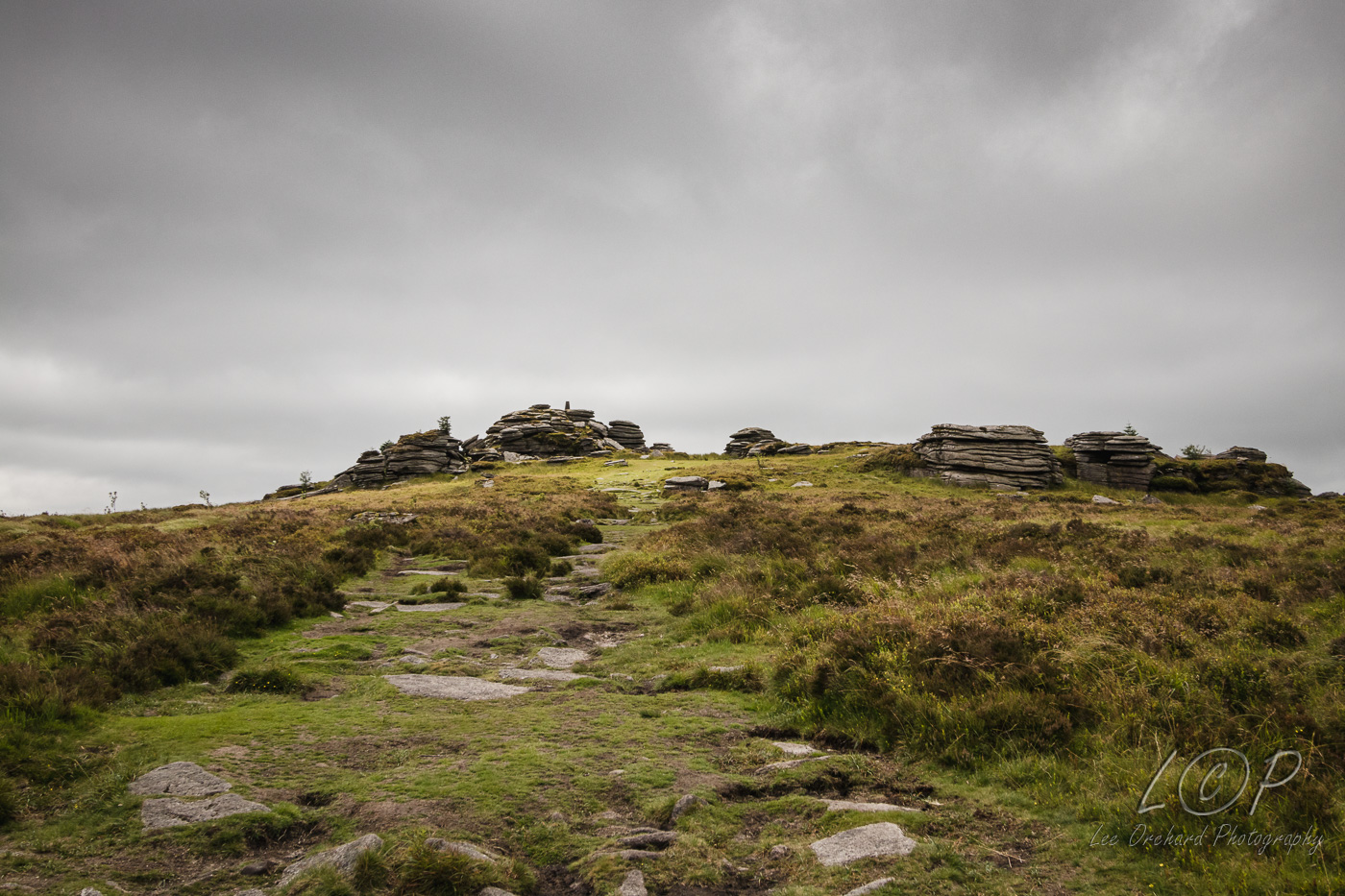
L12 615 886 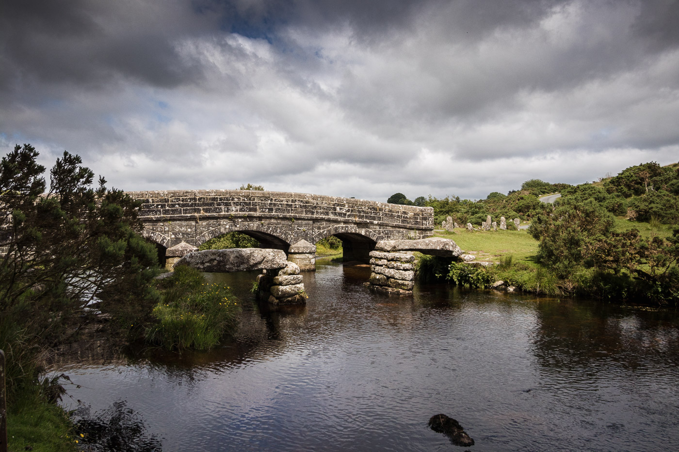
L13 615 886 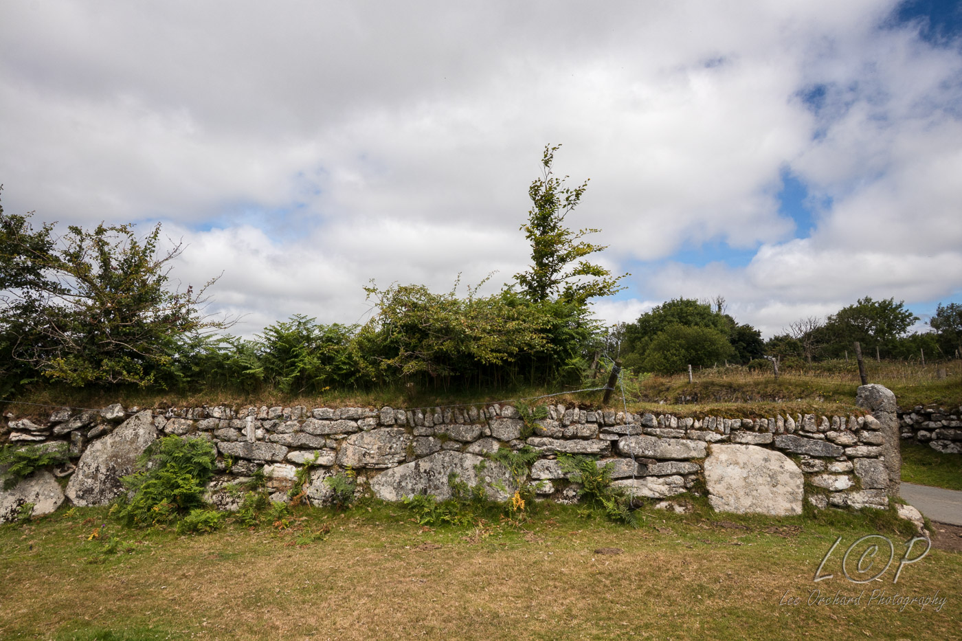
L14 615 886 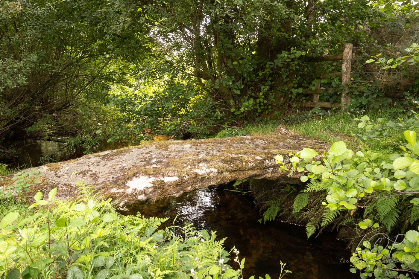
L15 615 886 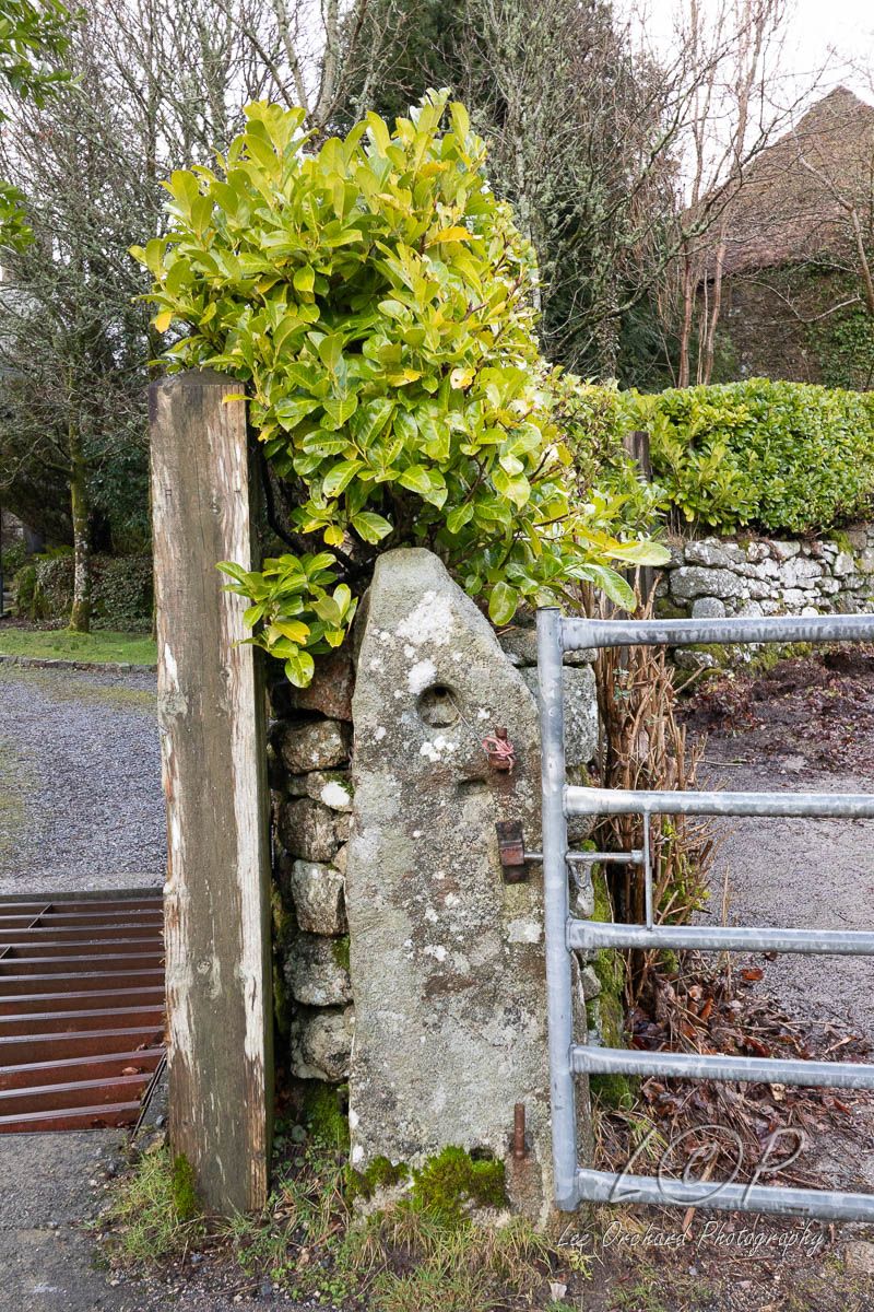
L16 615 886 
L17 615 886 
L18 615 886 
L19 615 886 
L20 615 886 
L21 615 886 
Tap to Hide
M
Squares M
M1 615 886 
M2 615 886 
M3 615 886 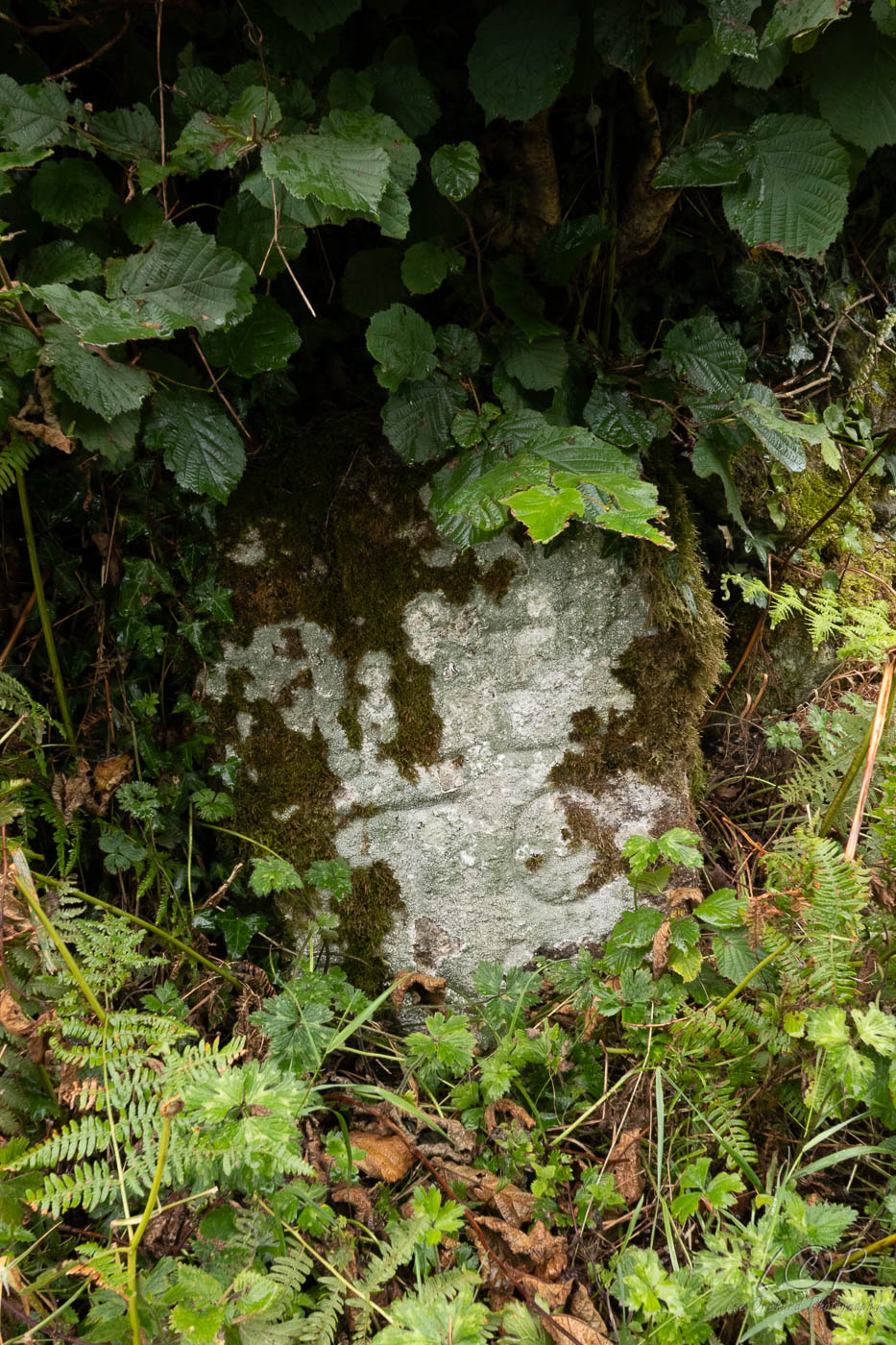
M4 534 589 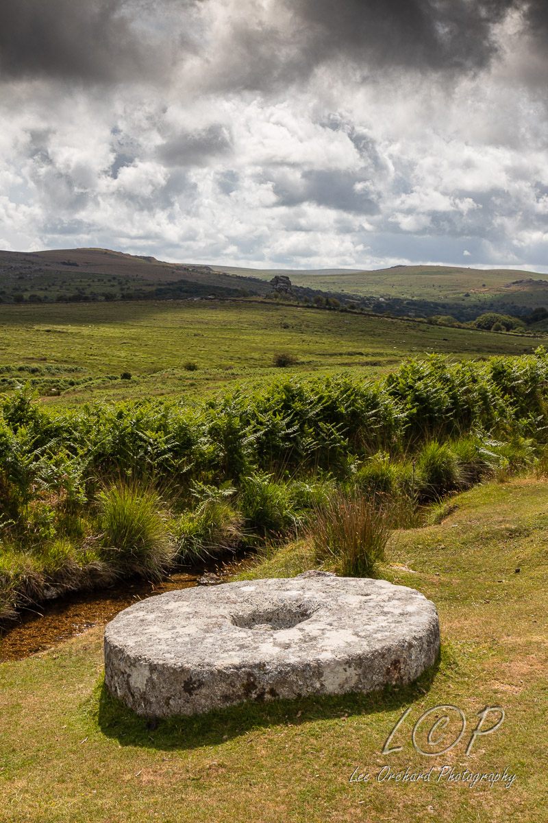
M5 546 887 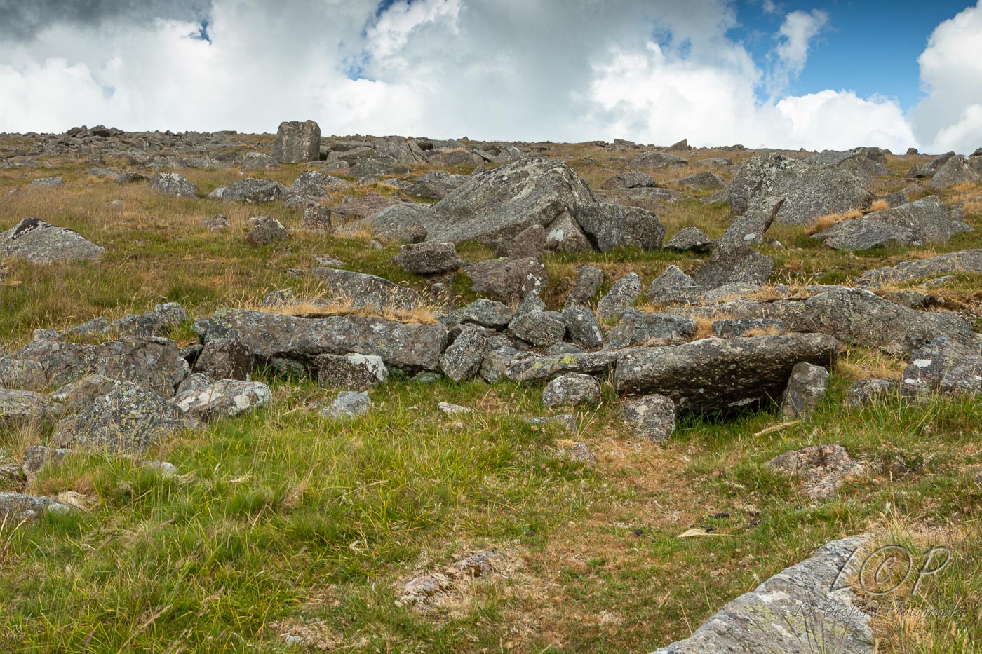
M6 555 883 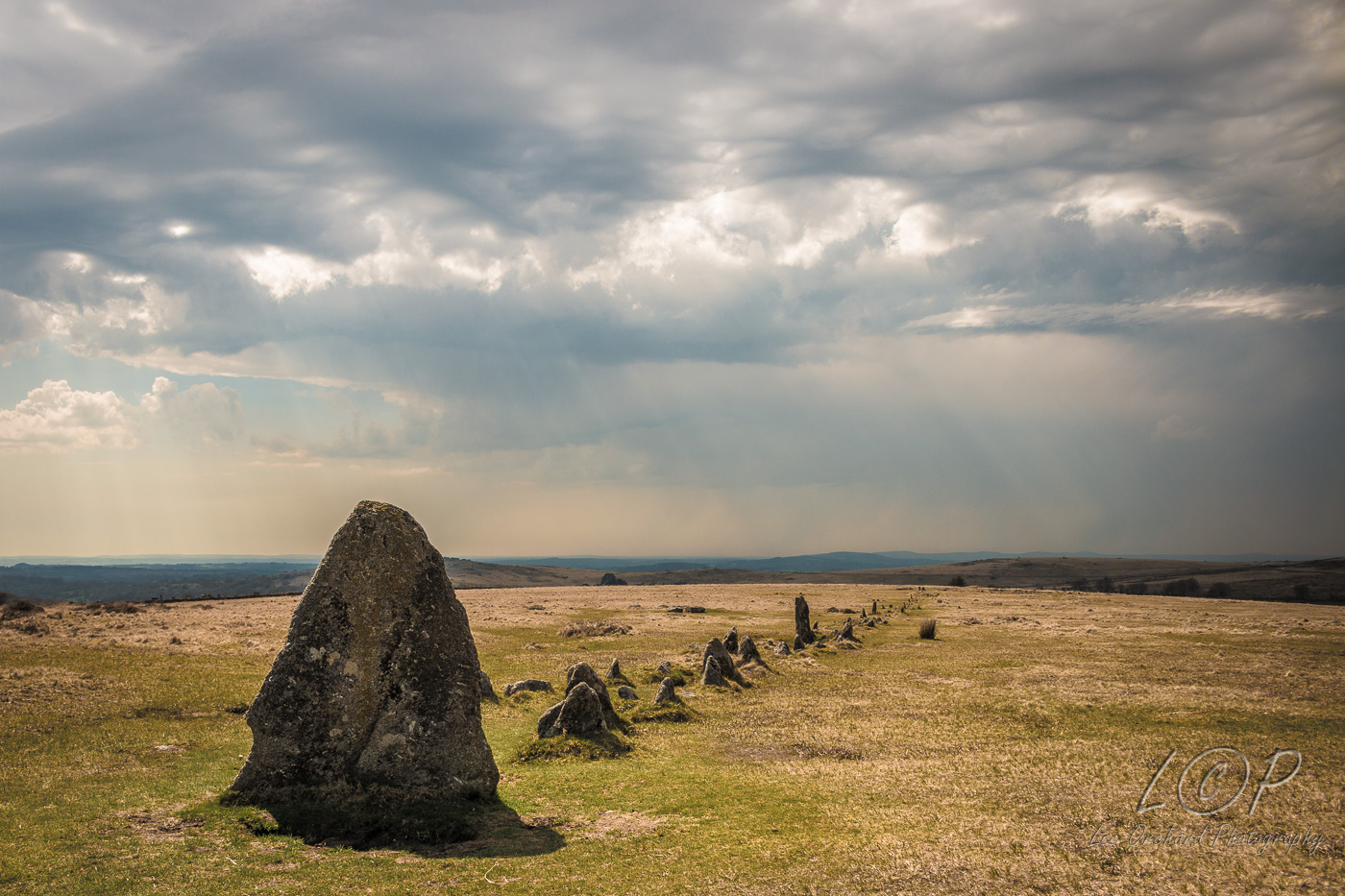
M7 579 875 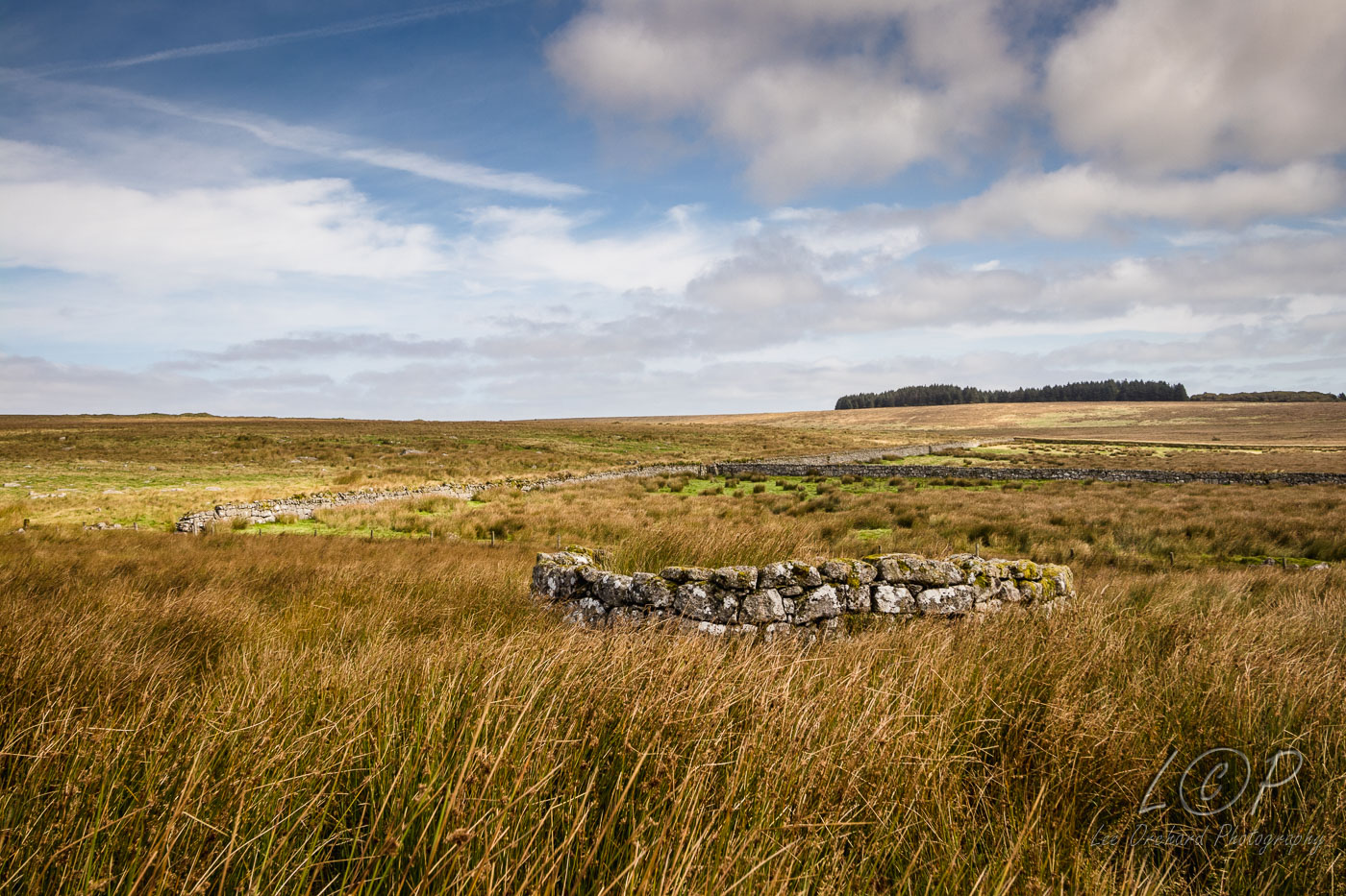
M8 586 881 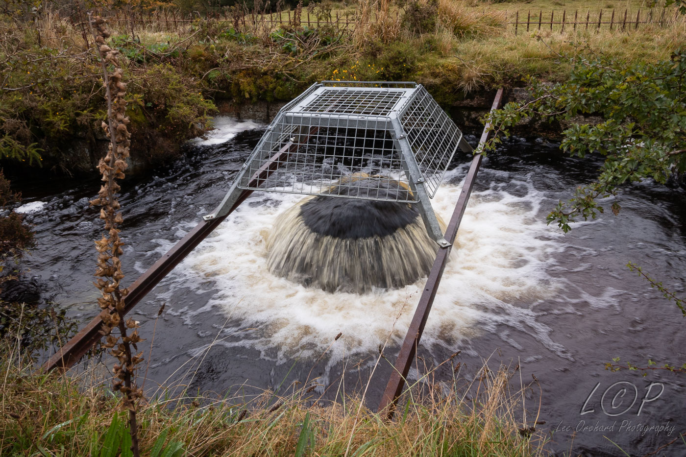
M9 615 886 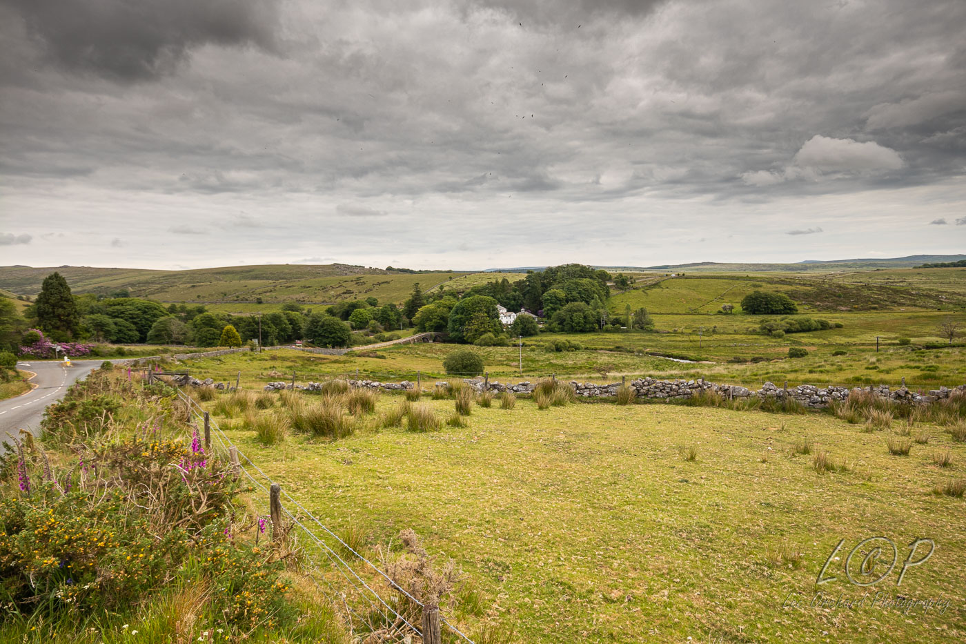
M10 623 876 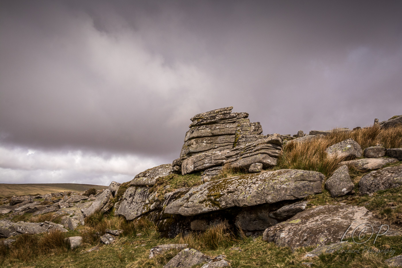
M11 648 997 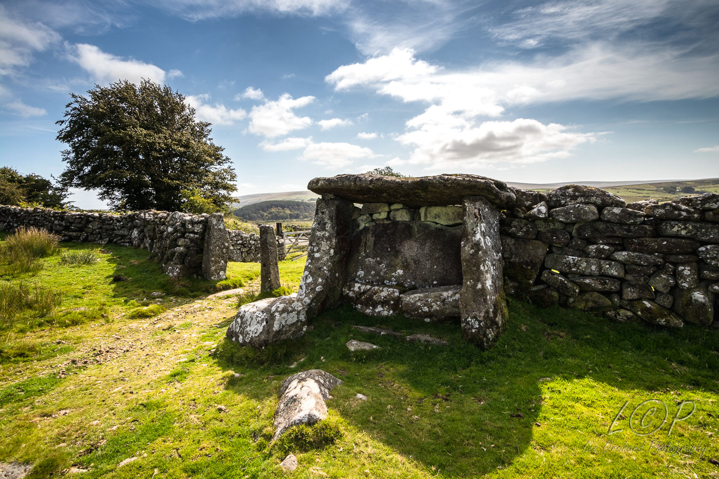
M12 615 886 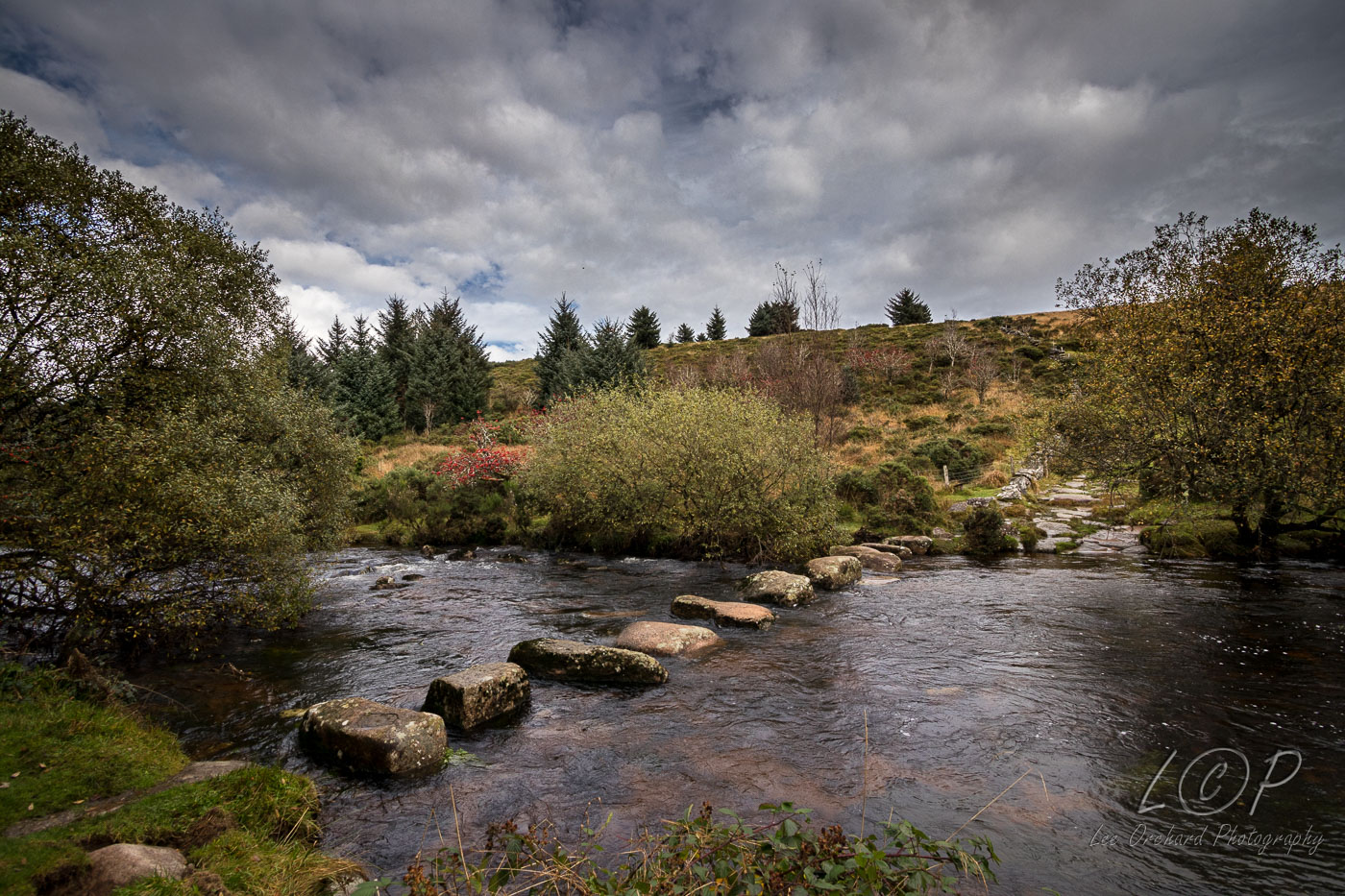
M13 615 886 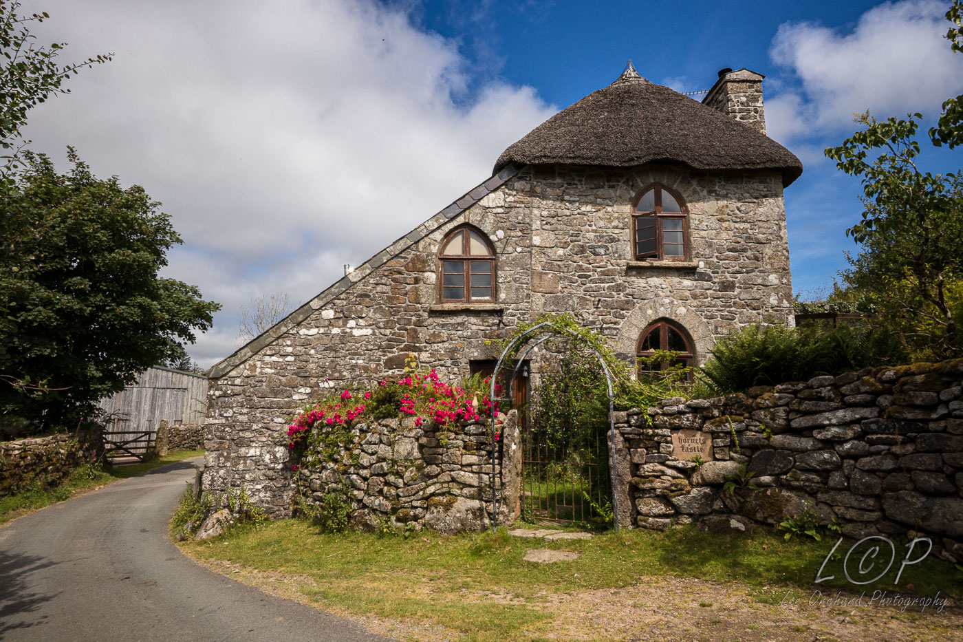
M14 615 886 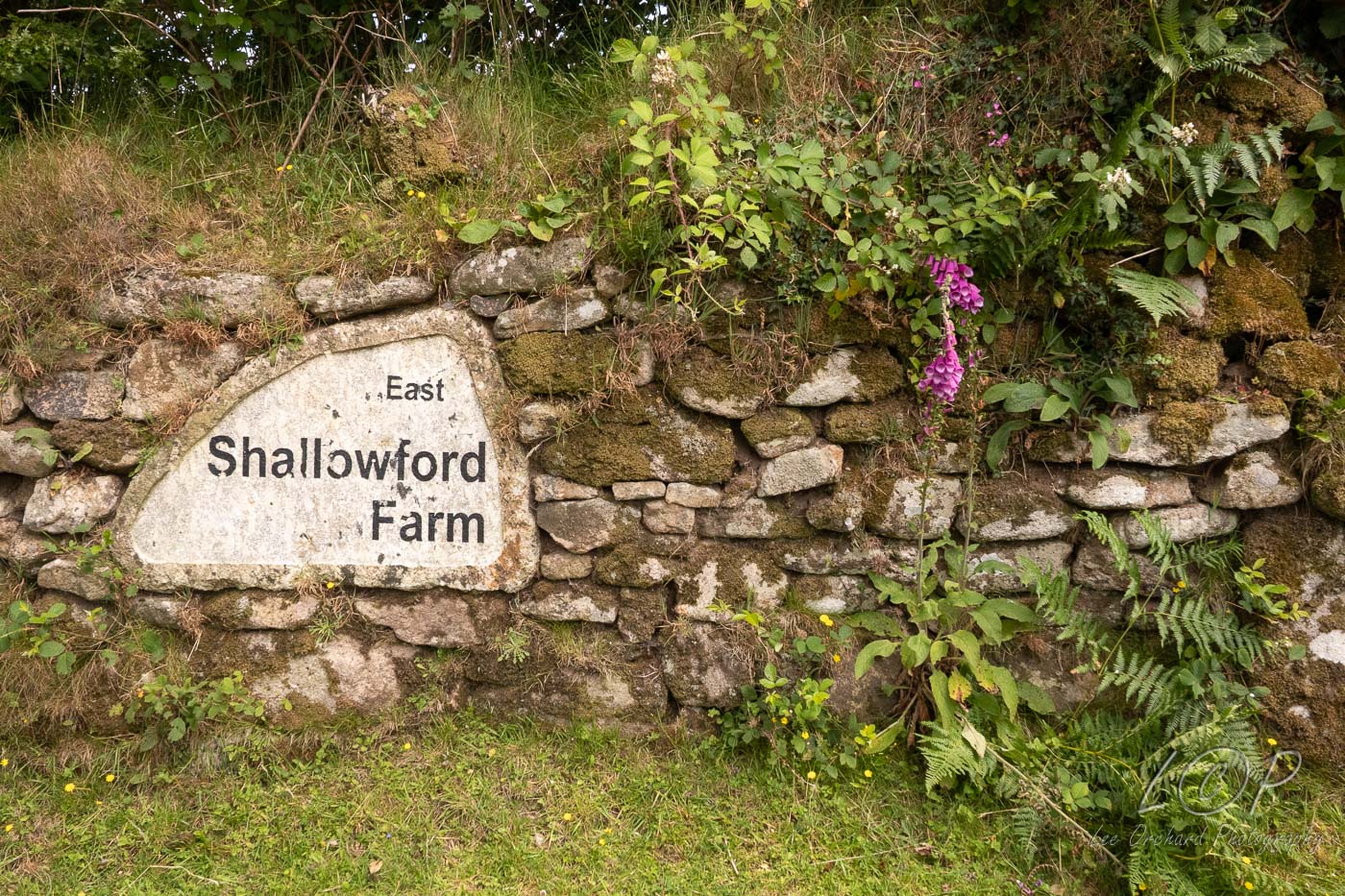
M15 615 886 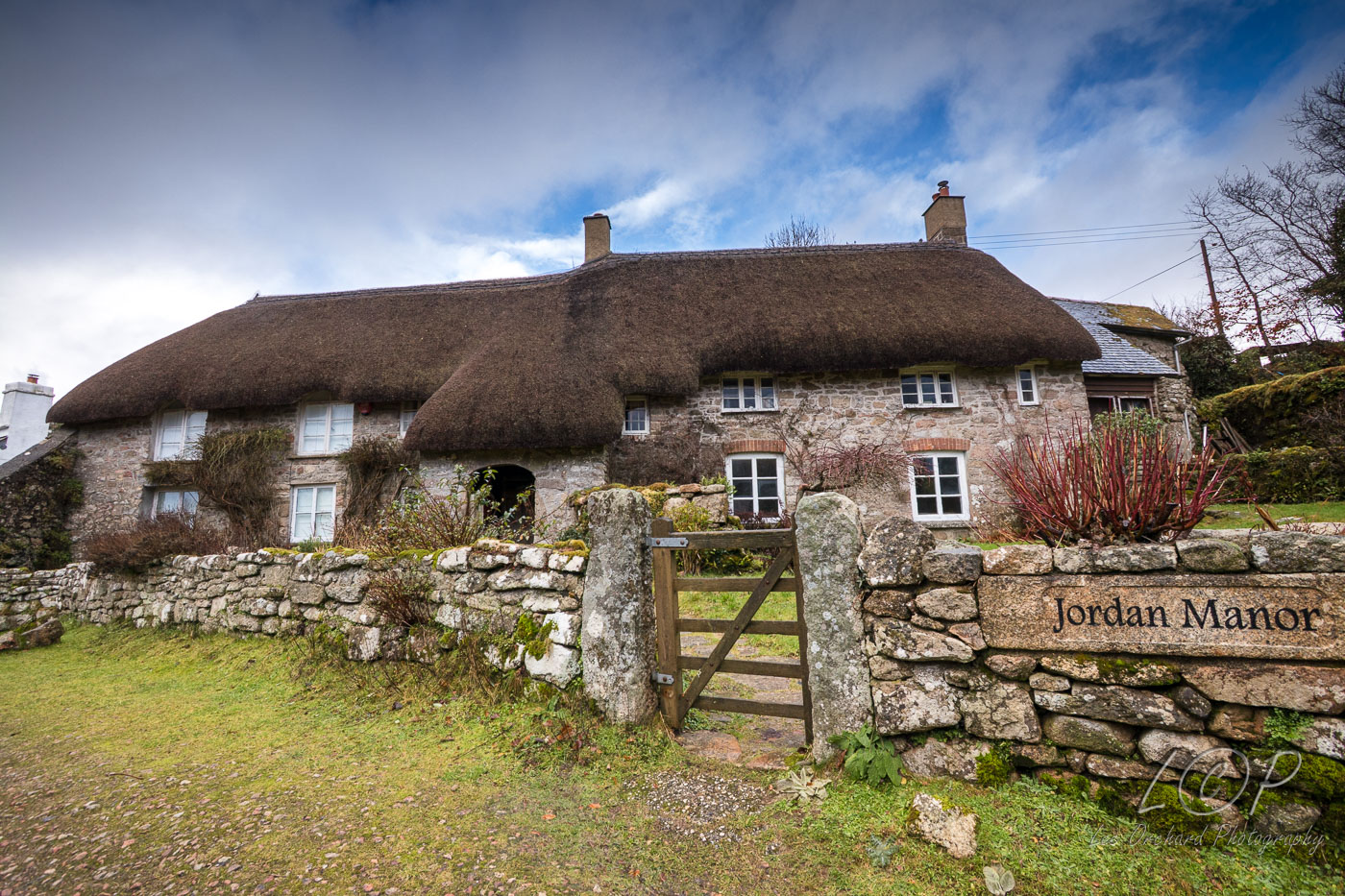
M16 615 886 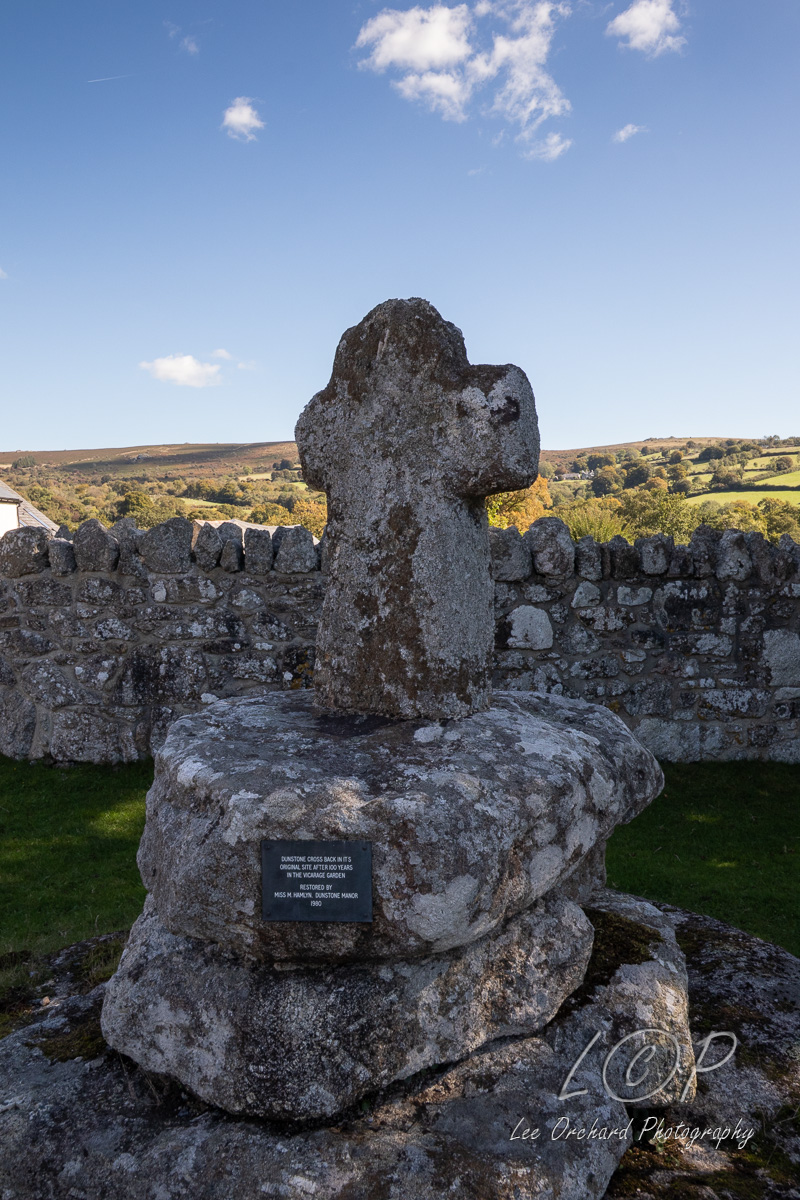
M17 615 886 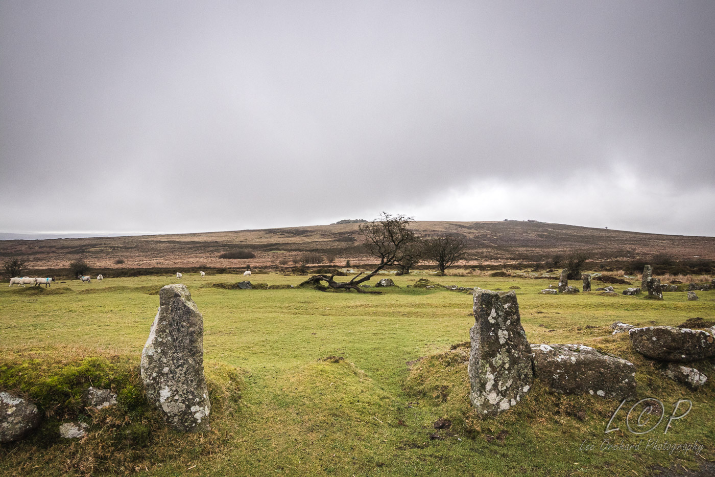
M18 615 886 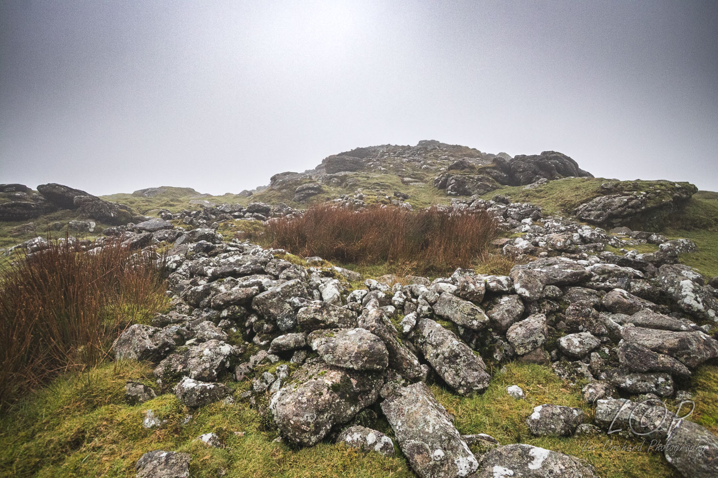
M19 615 886 
M20 615 886 
M21 615 886
M22 615 886
M23 615 886
Tap to Hide
O
Squares O2 - O20
O2 615 886 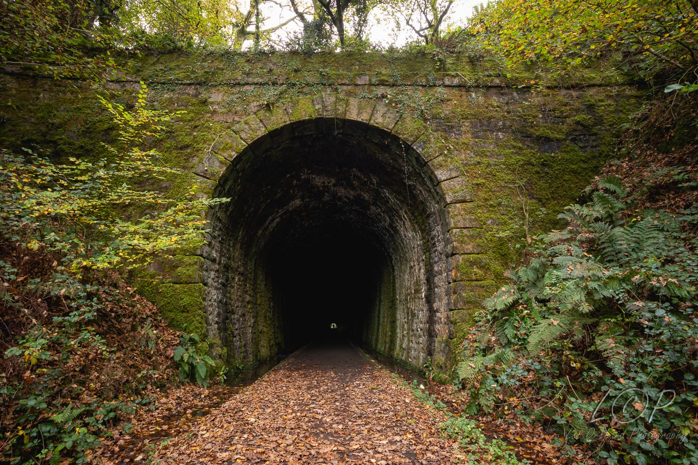
O3 615 886 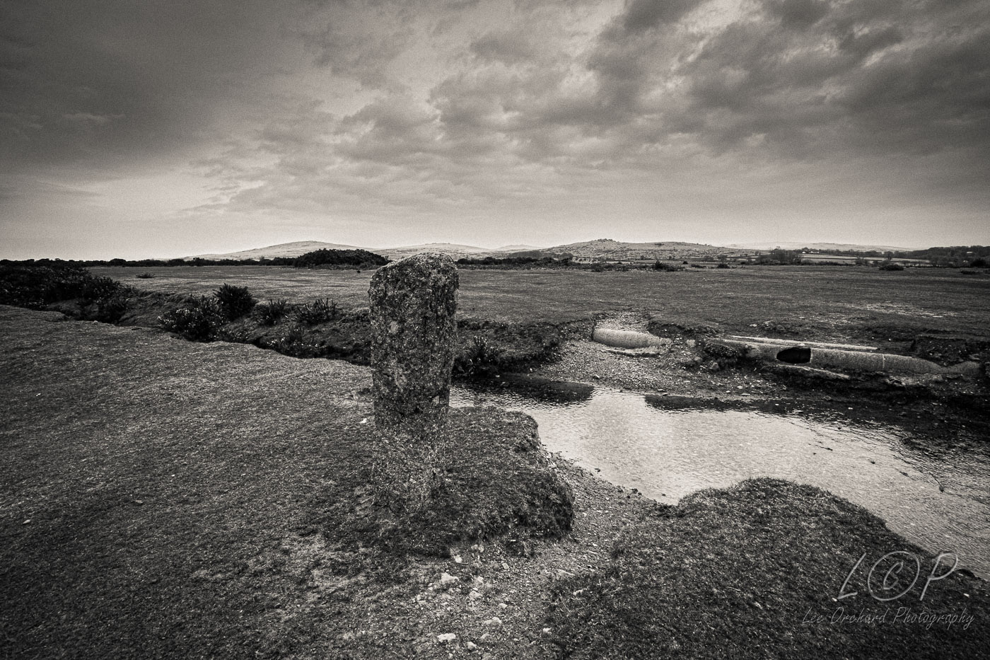
O4 534 589 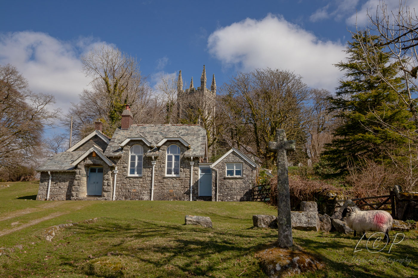
O5 546 887 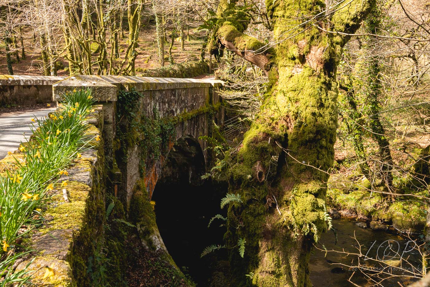
O6 555 883 
O7 579 875 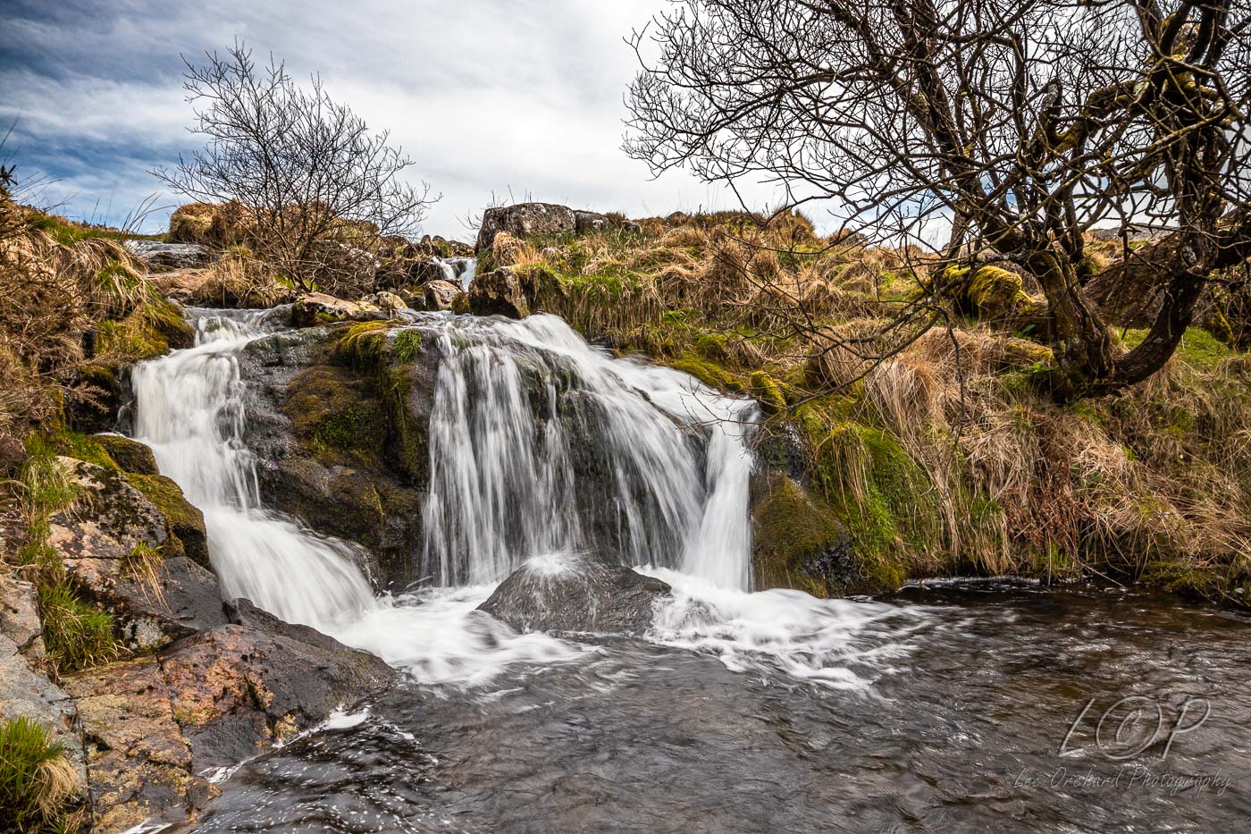
O8 586 881 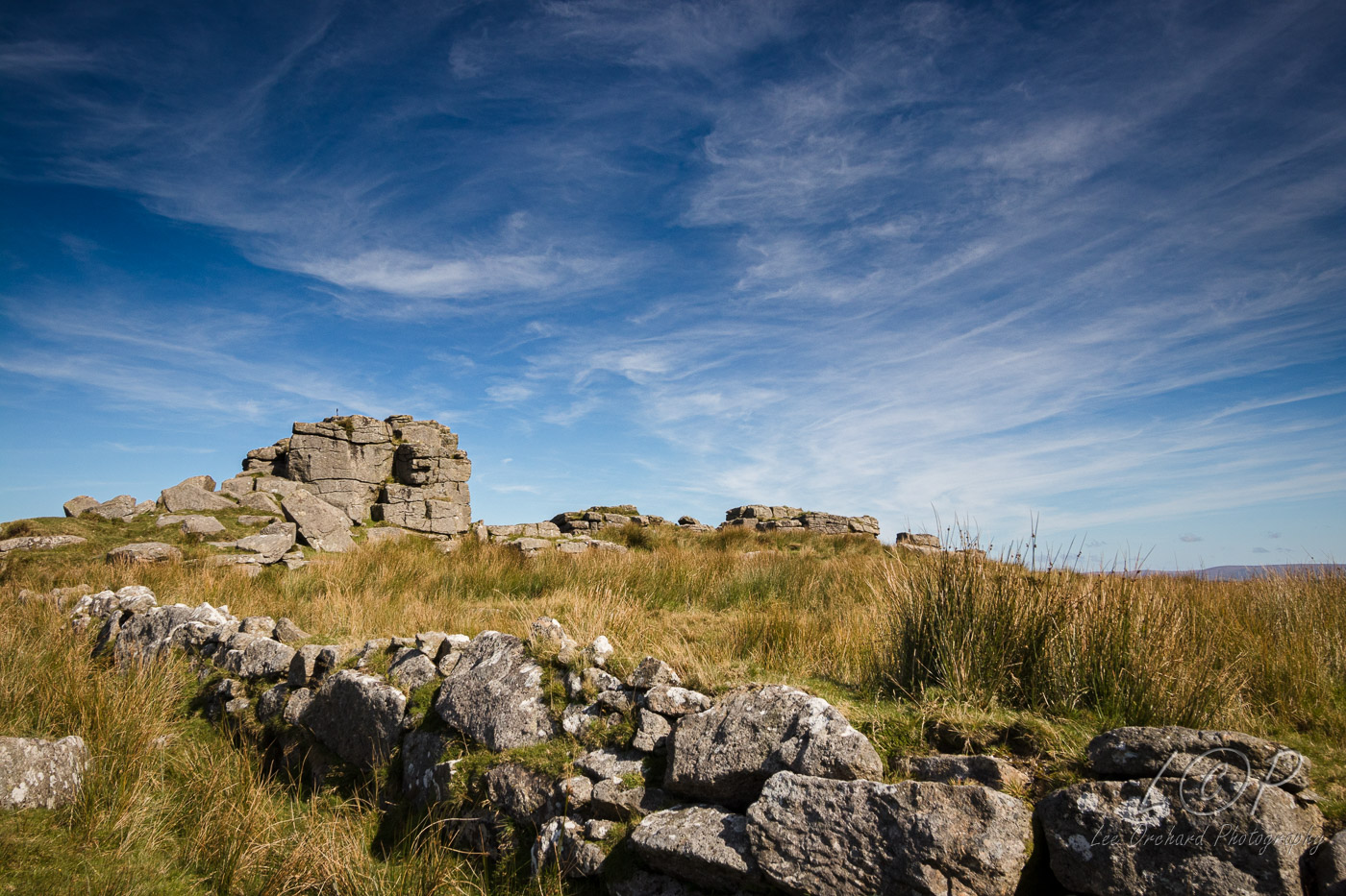
O9 615 886 
O10 623 876 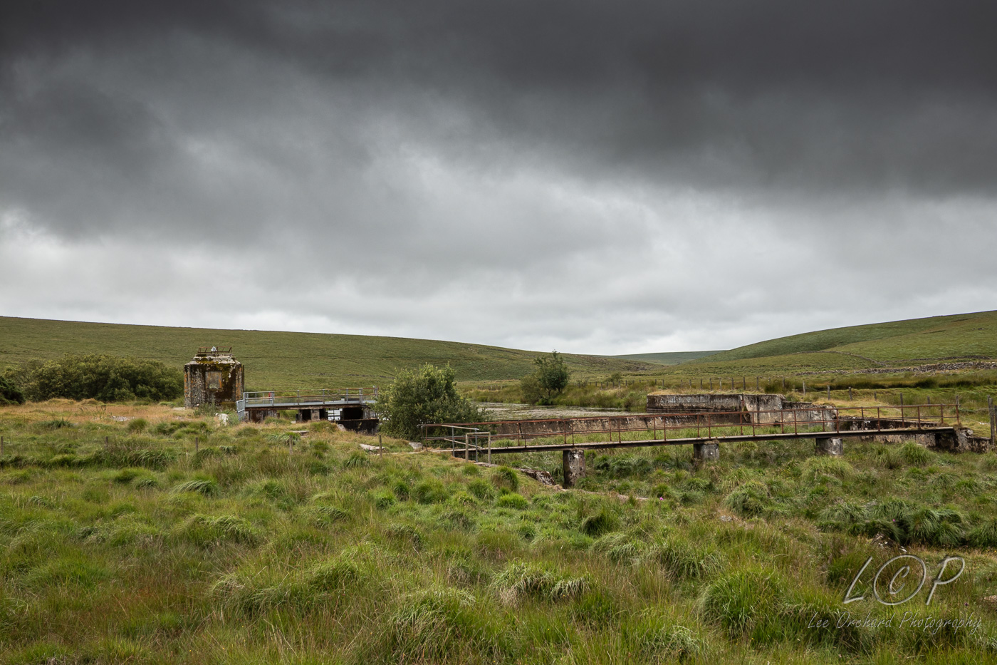
O11 648 997 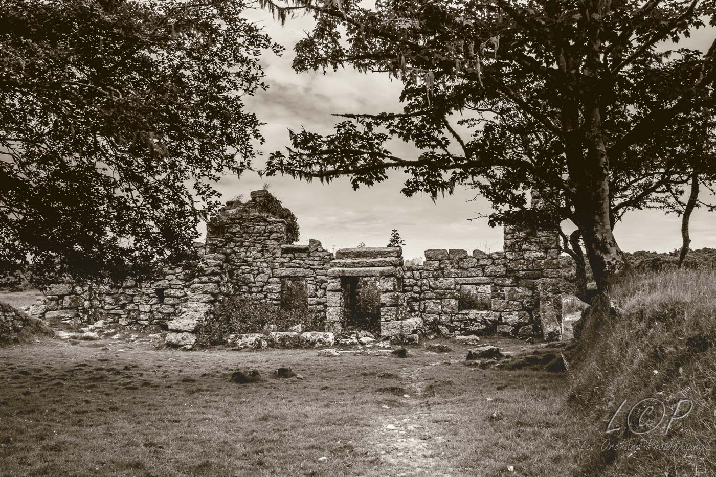
O12 615 886 
O13 615 886 
O14 615 886 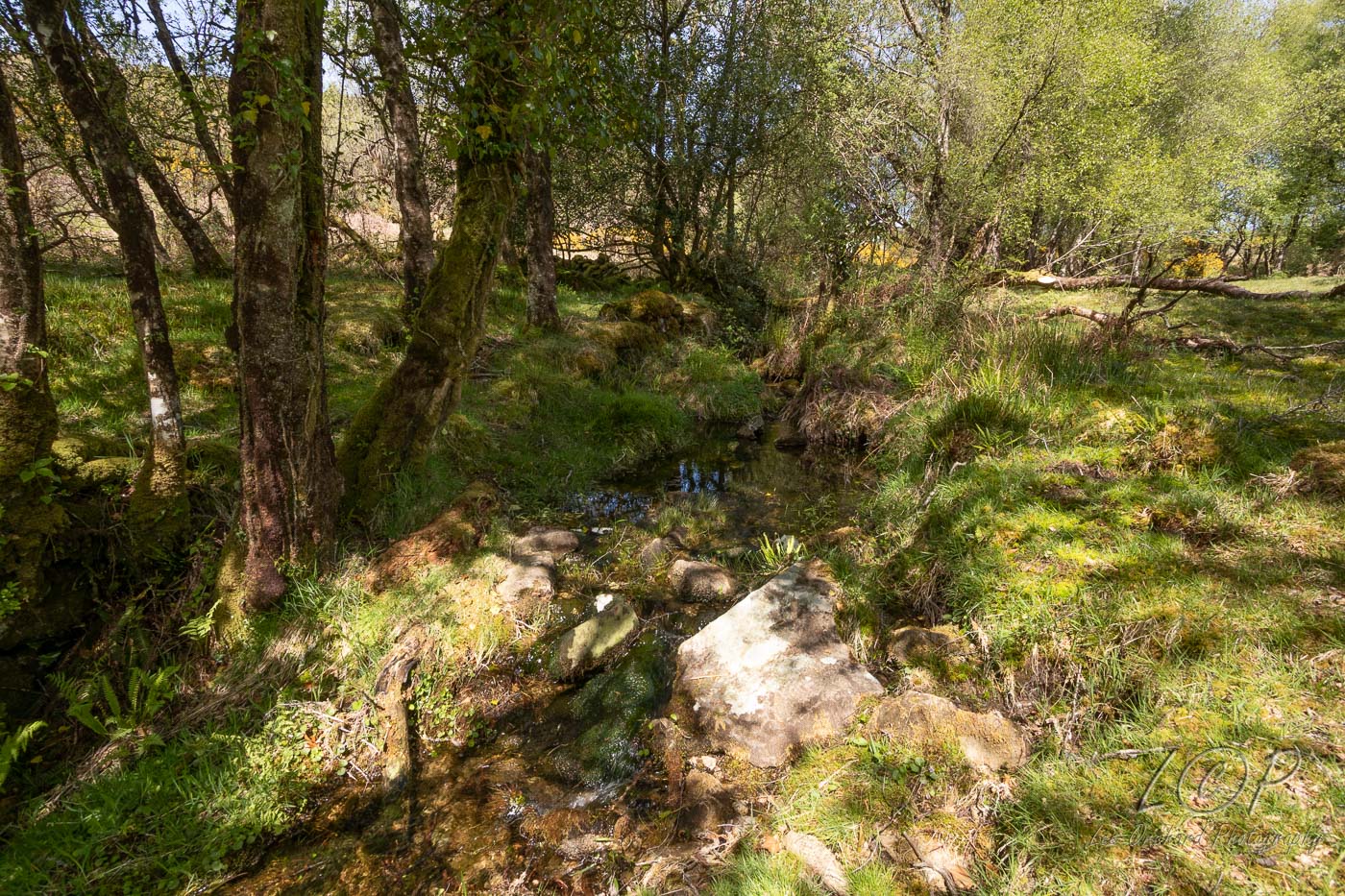
O15 615 886 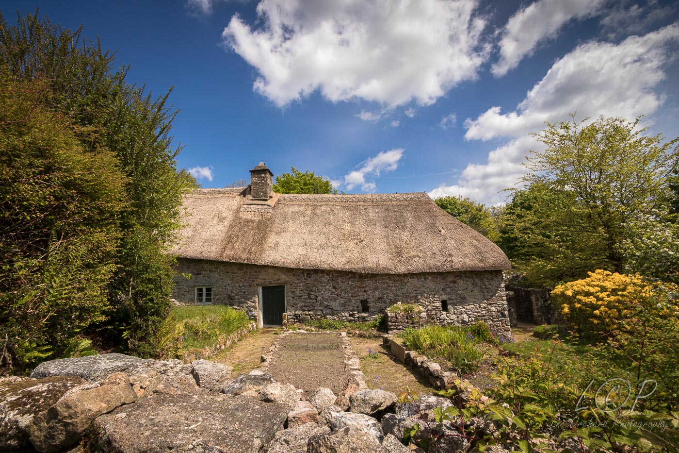
O16 615 886 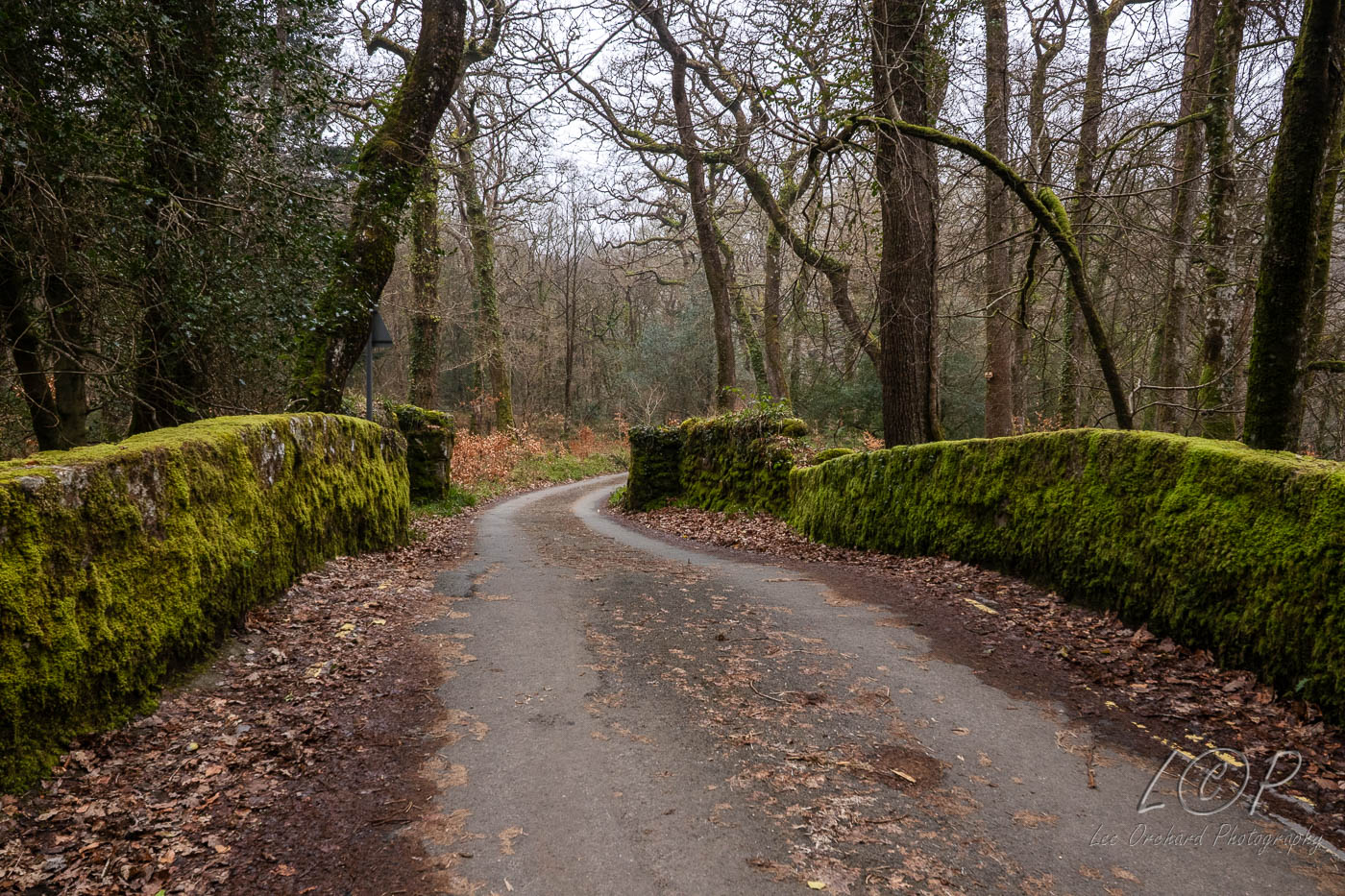
O17 615 886 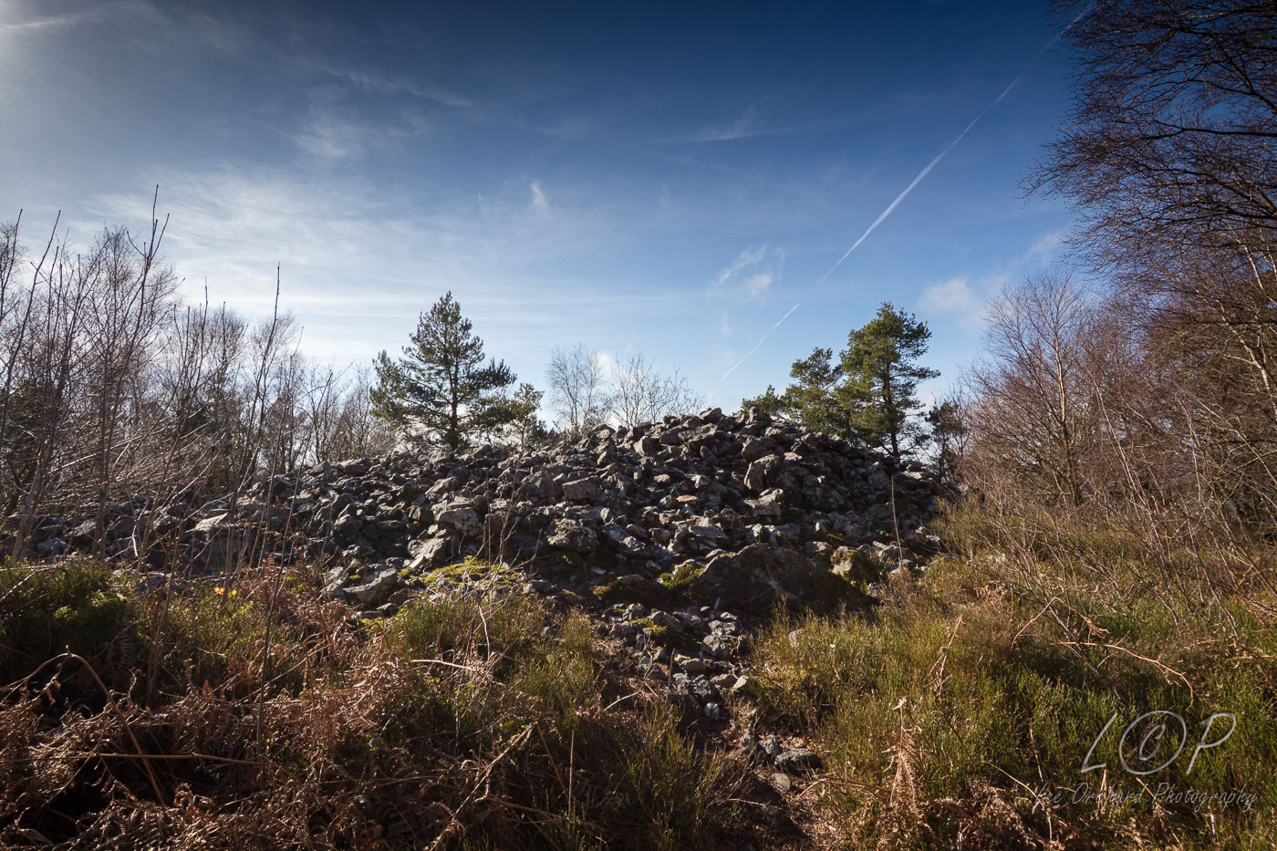
O18 615 886 
O19 615 886 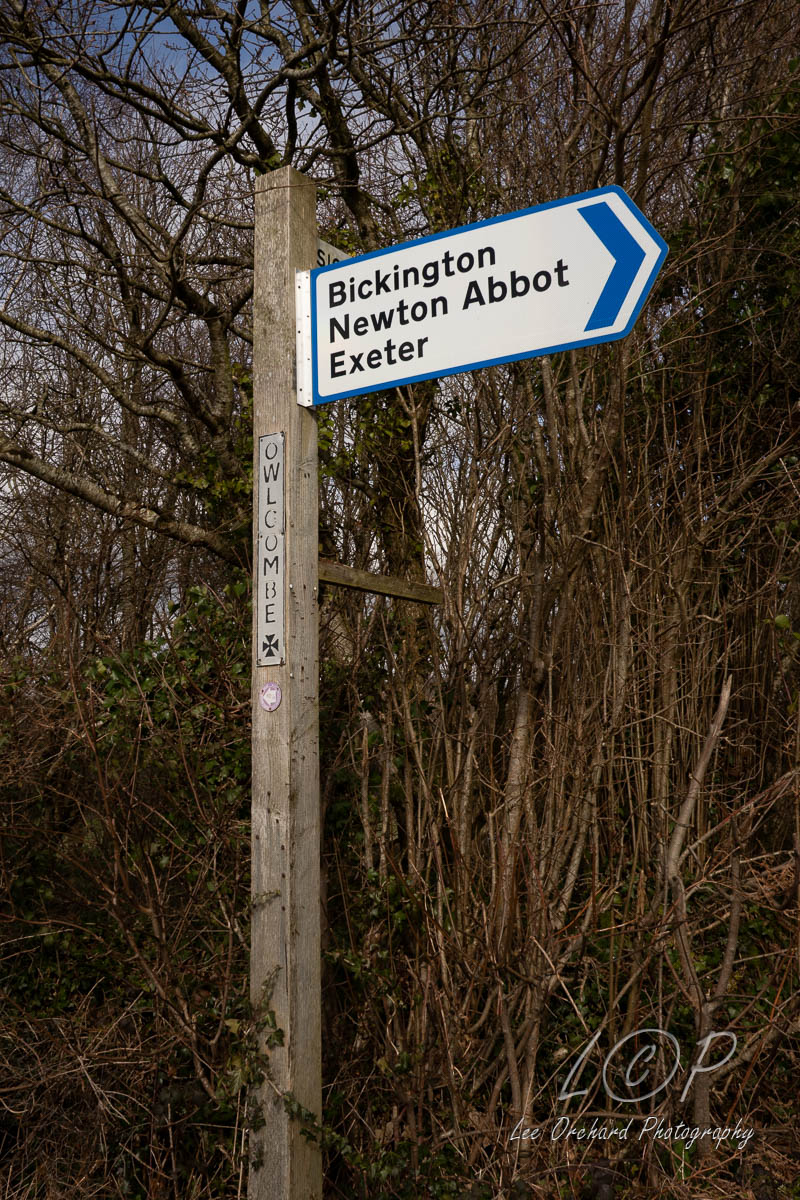
O20 615 886 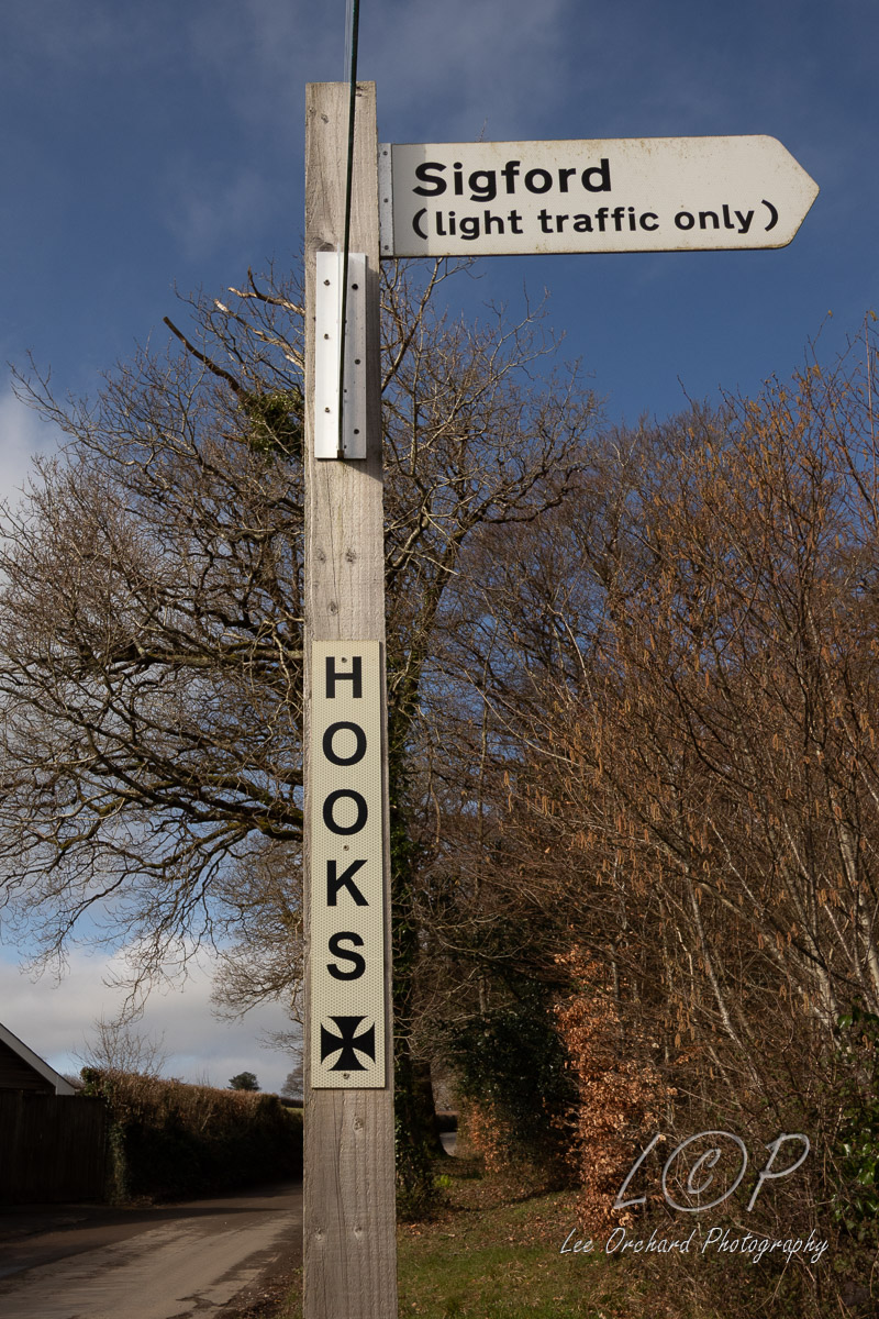
O21 615 886
O22 615 886
O23 615 886
Tap to Hide
P
Squares L
Tap to Hide
Q
Squares Q
Tap to Hide
R
Squares R
Tap to Hide
S
W